Chest opened
+${chestReward.xp} XP
Explorer
NOUVEAU ×${chestReward.collectible.quantity}
tapez pour fermer
Chest locked

Open chests in the app

Around Us is built for your phone — chests unlock when you walk, explore and capture nearby places.

Enable Location

We need your location to show you interesting places around you

Discover nearby places

Find interesting locations and hidden gems around you

Precise directions

Get accurate directions and distances to places

Your location is never shared with other users. It's only used when you tap the location button.

Cameroon–Nigeria border

Log in to your account

Start exploring — it's free

Trusted by 72,956 travelers worldwide

Continue with Google
Continue with Apple
or

We will send you a code to connect

By continuing, you accept our Terms and Conditions and our Privacy Policy

Check your inbox

We've sent a pincode in your inbox. Please enter the code below.

Discussion Reviews 1 Photos
16.1k Popularity

Cameroon–Nigeria border, international border

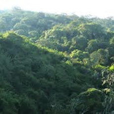
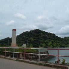
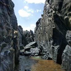
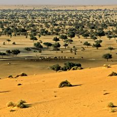
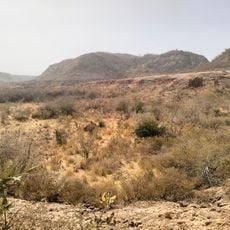
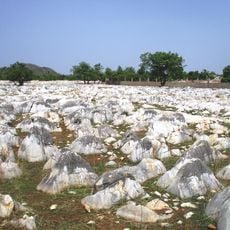
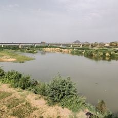
The Cameroon-Nigeria boundary is a land border that stretches nearly 2000 kilometers, starting where three countries meet near Lake Chad. It runs southward through the lake and then follows rivers and land in an irregular line, passing through varied terrain including small rivers, hills, and mountain ranges.

The boundary was established during the colonial period when European countries divided Africa for their own interests. Britain controlled areas around Lagos and the oil-rich Oil River Protectorate, while Germany claimed Cameroon in the late 1800s.

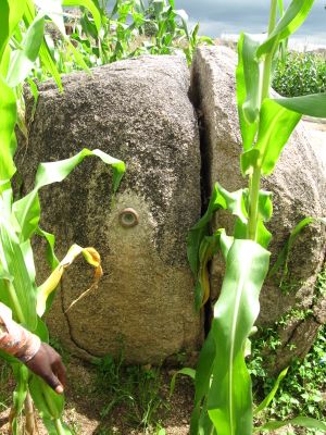
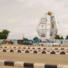
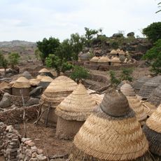
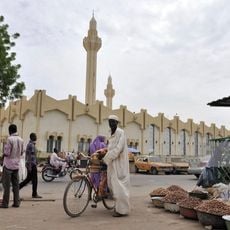
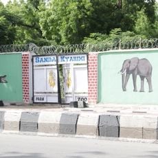
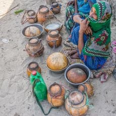
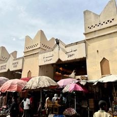
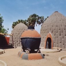
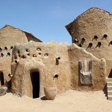
The boundary is a living space where residents maintain relationships and traditions that cross political lines. Market days bring traders exchanging goods such as food, clothes, and handicrafts in lively exchanges between communities.

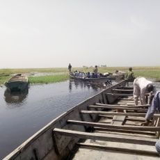
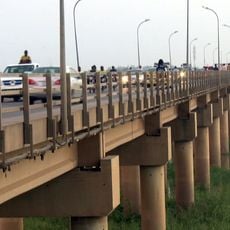
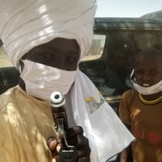
It is important to have required documents in hand and check conditions before crossing at any point. Travelers should verify whether visas can be applied for online beforehand and explore available transport options such as small boats or ferries that operate along water routes.

A remarkable aspect is the 1961 plebiscite in which Northern Cameroons chose to join Nigeria, while Southern Cameroon joined Cameroon, shaping the boundary as it exists today. This vote remains a reference point for understanding the identity of people living in the border region.

The community of curious travelers

AroundUs brings together thousands of curated places, local tips, and hidden gems, enriched daily by 60,000 contributors worldwide.

Start exploring
Part of
borders of Cameroon, borders of Nigeria
GPS coordinates
13.77780,14.87500
Latest update
February 19, 2026 22:40
Reviews
Share your experience

No review yet

Discussions
Start a discussion...

No discussion yet

« Cameroon–Nigeria border - international border » is provided by Around Us (aroundus.com). Images and texts are derived from Wikimedia project under a Creative Commons license. You are allowed to copy, distribute, and modify copies of this page, under the conditions set by the license, as long as this note is clearly visible.

Discover hidden gems everywhere you go!

From secret cafés to breathtaking viewpoints, skip the crowded tourist spots and find places that match your style. Our app makes it easy with voice search, smart filtering, route optimization, and insider tips from travelers worldwide. Download now for the complete mobile experience.

Around Us App Screenshot

A unique approach to discovering new places

Le Figaro

All the places worth exploring

France Info

A tailor-made excursion in just a few clicks

20 Minutes

Around Us
Travel Guide & Maps
Download

Send to your phone

QR Code
1

Open the camera app on your mobile.

2

Point at the QR code with your camera. A notification will appear.

3

Tap the notification to open the link.