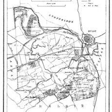
Zeelandic Flanders, Geographic territory in Zeeland province, Netherlands
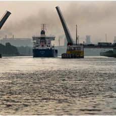
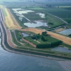
Zeelandic Flanders is a region in the southwestern corner of the Netherlands that lies between a major estuary and the Belgian border. It encompasses three municipalities and sits partly on a peninsula, connected to the rest of the country only by a tunnel beneath the water.
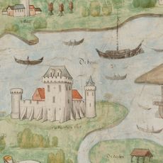
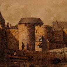
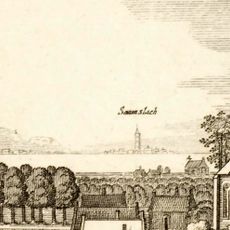
The territory was part of the County of Flanders for centuries until the Dutch Republic conquered it in the early 1600s during a major war. It then remained under Dutch control but existed in a special administrative status for a long time afterward.
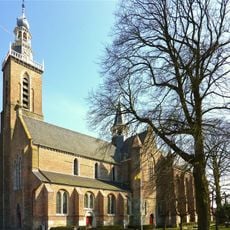
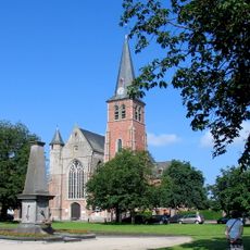
The area speaks different dialects tied to its Flemish roots, and you hear these variations shift as you move across the region. Local traditions and speech patterns reflect centuries of living at the boundary between Dutch and Flemish worlds.
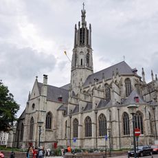
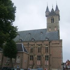
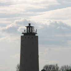
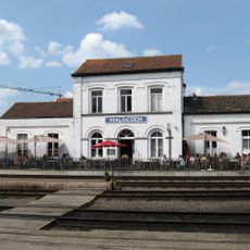
Visitors should know the area is only accessible through a tunnel that runs beneath a major river, making the journey a bit longer than expected. The three main towns serve as good starting points for exploring and getting oriented in the region.
It is the only part of historical Flanders that lies within the Netherlands today, a geographic oddity with no parallel in the country. This unusual position sparked repeated discussions in the 20th century about a possible transfer to Belgium.
The community of curious travelers
AroundUs brings together thousands of curated places, local tips, and hidden gems, enriched daily by 60,000 contributors worldwide.