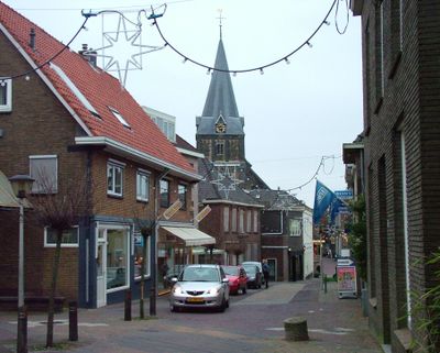
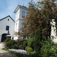
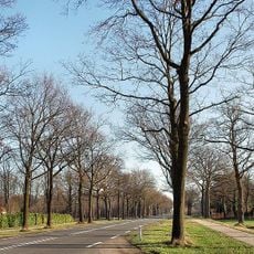
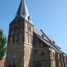
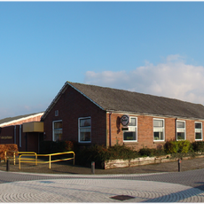
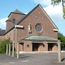
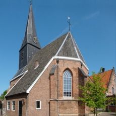
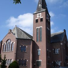
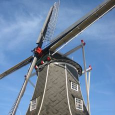
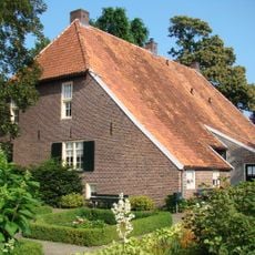
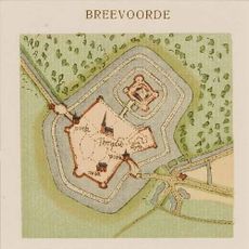
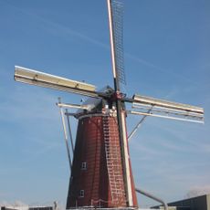
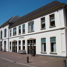
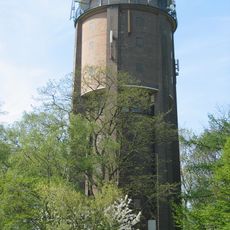
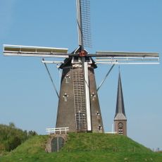
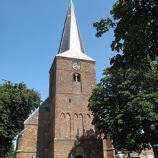
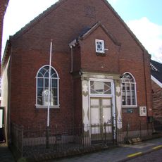
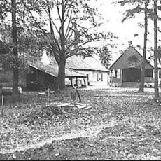
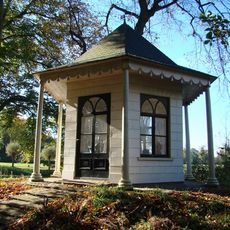
Aalten, municipality in the Netherlands
Location: Gelderland
Capital city: Aalten
Elevation above the sea: 31 m
Shares border with: Oost Gelre, Oude IJsselstreek, Bocholt
Phone: +31543493333
Email: gemeente@aalten.nl
Website: https://aalten.nl
GPS coordinates: 51.92500,6.58080
Latest update: March 10, 2025 07:11
Schloss Diepenbrock
7.5 km
Castle of Bredevoort
3.3 km
Walfort
2.2 km
Haus Heidefeld
7 km
Lintelo
4.4 km
Oude Helenakerk
201 m
Kerkje "De Rietstap"
10.5 km
IJzerlo
4.8 km
St. Ludger
7 km
Sint-Joriskerk, Bredevoort
3.2 km
Nationaal Onderduikmuseum
305 m
't Klooster
5.2 km
Oosterkerk
471 m
Teunismolen
5.9 km
De Pol, Aalten
429 m
Nieuwe Helenakerk
92 m
Befestigungsanlagen von Bredevoort
3.3 km
Wenninkmolen
4.4 km
Sint Bernardus
3.3 km
Saint Michael Church (Suderwick)
9.5 km
Watertoren Aalten
886 m
De Prins van Oranje
3.1 km
Hervormde kerk Dinxperlo
9.6 km
Aalten Synagogue
81 m
Sint-Georgiuskerk, Bredevoort
3.1 km
Dale
2.3 km
Theekoepel, Bredevoort
3.2 km
St. Helena
7 kmVisited this place? Tap the stars to rate it and share your experience / photos with the community! Try now! You can cancel it anytime.
Discover hidden gems everywhere you go!
From secret cafés to breathtaking viewpoints, skip the crowded tourist spots and find places that match your style. Our app makes it easy with voice search, smart filtering, route optimization, and insider tips from travelers worldwide. Download now for the complete mobile experience.
A unique approach to discovering new places❞
— Le Figaro
All the places worth exploring❞
— France Info
A tailor-made excursion in just a few clicks❞
— 20 Minutes