
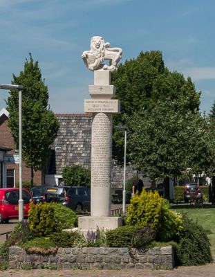
Gedenkteken 1940-1945, war memorial in Elden, Netherlands
Location: Arnhem
Inception: 1954
Creator: Albert Termote
Official opening: May 5, 1954
Address: Klapstraat, 6842 AC, Elden (Arnhem), Gelderland, Nederland
GPS coordinates: 51.95867,5.88127
Latest update: March 13, 2025 17:09
GelreDome
914 m
Stadsblokken-Meinerswijk
1.3 km
Nelson Mandelabrug
2.6 km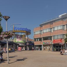
Winkelcentrum Kronenburg
1.1 km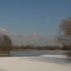
Rijkerswoerdse Plassen
2.4 km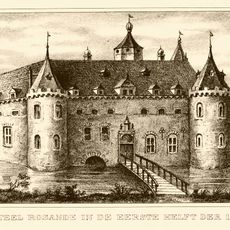
Kasteel Rosande
2.4 km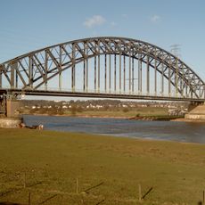
Spoorbrug Arnhem
2.2 km
Immerloo Park
2.4 km
De Hoop
198 m
Castra Herculis
1.6 km
Doorlaatbrug te Meinerswijk
1.5 km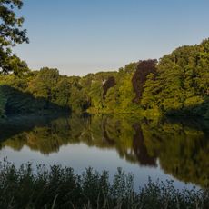
Westerveld Park
698 m
Terrein waarin resten van het Kasteel Meinerswijk
2.1 km
Hulkestein
2.7 km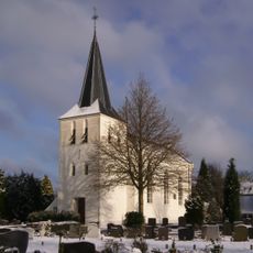
Bonifatiuskerk, Arnhem
502 m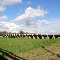
Doorlaat bridge Eldensedijk
2 km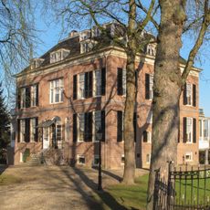
Huize Oosterveld
236 m
Fort Elden
674 m
Ir. M.A. Brinkman Vissergemaal
1.8 km
De Steenen Camer
1.1 km
Villa Reale
2.7 km
Spuisluis tegenover Rijnkade 143, Arnhem
2.7 km
Terrein waarin overblijfselen van het kasteel Rosande
2.4 km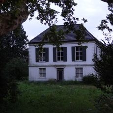
Huissensedijk 14, Arnhem
520 m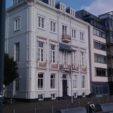
Rijnkade 3, Arnhem
2.7 km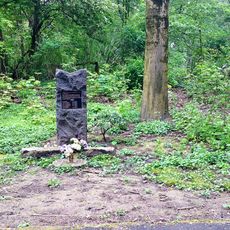
Monument voor Britse Vliegers
912 m
De Peppel
2.6 km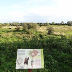
Archaeological site with traces of a military settlement
1.5 kmVisited this place? Tap the stars to rate it and share your experience / photos with the community! Try now! You can cancel it anytime.
Discover hidden gems everywhere you go!
From secret cafés to breathtaking viewpoints, skip the crowded tourist spots and find places that match your style. Our app makes it easy with voice search, smart filtering, route optimization, and insider tips from travelers worldwide. Download now for the complete mobile experience.

A unique approach to discovering new places❞
— Le Figaro
All the places worth exploring❞
— France Info
A tailor-made excursion in just a few clicks❞
— 20 Minutes