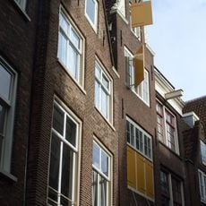
Dutch Water Defence Lines, Military defence system in North Holland and Utrecht, Netherlands.
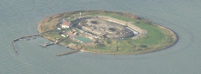
The Dutch Water Defence Lines form a network stretching over 200 kilometers with forts, fortresses, and water control structures spread across multiple provinces. The system includes sluces, dams, and dykes specifically designed to manage water levels and protect communities from flooding and invasion.
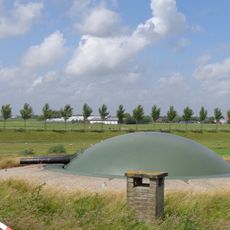
The system developed between the 17th and 19th centuries when engineers discovered that water could become a weapon against invaders. This approach let the Dutch defend their territory by flooding areas strategically, which was far more effective than traditional defensive walls.
The defence lines show how Dutch communities developed advanced knowledge of controlling water for both safety and survival. This expertise became part of local identity and shaped how people understood their relationship with the land around them.
You can explore the lines through cycling and walking trails that connect various forts and fortifications across the provinces. It helps to check in advance which sites are open and whether guided tours are available in the areas you plan to visit.
The sluces and dams were built with such precision that they could create water levels deep enough to stop soldiers from wading but shallow enough to trap boats. This balance between blocking movement and controlling water flow was the clever heart of the entire defensive strategy.
The community of curious travelers
AroundUs brings together thousands of curated places, local tips, and hidden gems, enriched daily by 60,000 contributors worldwide.