
Svaet
Location: Gildeskål
Elevation above the sea: 840 m
GPS coordinates: 66.99106,14.24231
Latest update: June 1, 2025 11:31
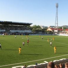
Aspmyra Stadion
32.5 km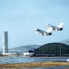
Bodø Main Air Station
31.4 km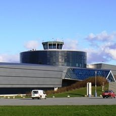
Norwegian Aviation Museum
32.6 km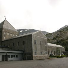
Glomfjord power station
24.2 km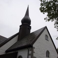
Bodin Church
32.6 km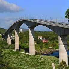
Saltstraumen Bridge
31.1 km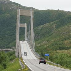
Kjellingstraumen Bridge
10.1 km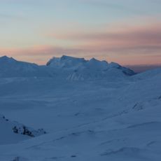
Láhko National Park
16.6 km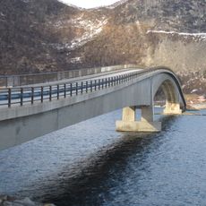
Sandhornøy Bridge
8 km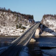
Indre Sunnan Bridge
30.3 km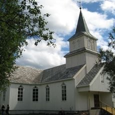
Fore Church
30.5 km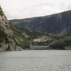
Glomfjorden
29.3 km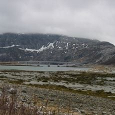
Åselistraumen Bridge
28.5 km
Lurfjelltinden
24.2 km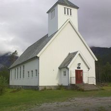
Mevik Chapel
22.6 km
Galleri Bodøgaard
32.3 km
Fugløyfjorden
17.6 km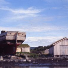
Jektefartsmuseet
31.9 km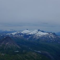
Memaurtinden
3.7 km
Svefjorden
32.4 km
Gåsvatnan
31.5 km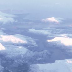
Nordfjorden
13.5 km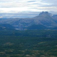
Elvefjorden
28.6 km
Gildeskål prestegård
11.5 km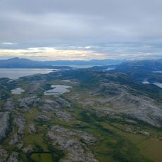
Straumøya
26.4 km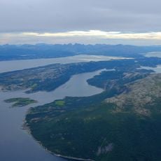
Skånland
20.2 km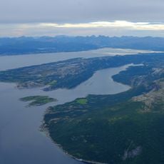
Seinesodden
24.7 km
Leirvika
16.1 kmReviews
Visited this place? Tap the stars to rate it and share your experience / photos with the community! Try now! You can cancel it anytime.
Discover hidden gems everywhere you go!
From secret cafés to breathtaking viewpoints, skip the crowded tourist spots and find places that match your style. Our app makes it easy with voice search, smart filtering, route optimization, and insider tips from travelers worldwide. Download now for the complete mobile experience.

A unique approach to discovering new places❞
— Le Figaro
All the places worth exploring❞
— France Info
A tailor-made excursion in just a few clicks❞
— 20 Minutes