Cagayan de Oro, Commercial hub in Northern Mindanao, Philippines
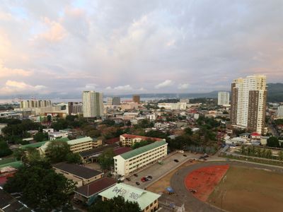
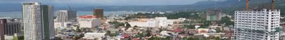
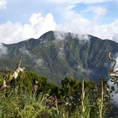
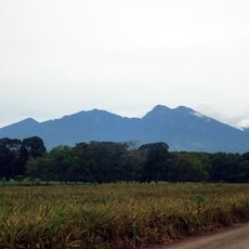
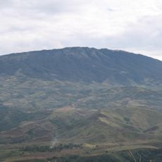
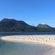
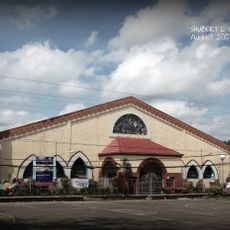
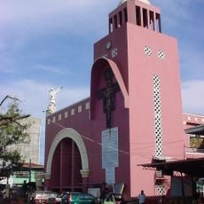
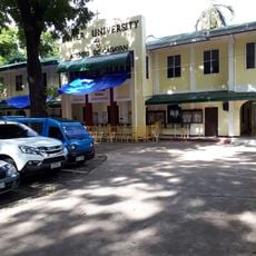
Cagayan de Oro is a major trade center in the Misamis Oriental province on the Philippine island of Mindanao, spreading along the banks of the river that shares its name near Macajalar Bay. The cityscape shows modern business districts next to residential neighborhoods, markets, and riverfront zones built on gradually rising ground that reaches up to 1,400 feet (428 meters) above sea level.
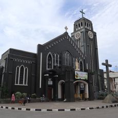
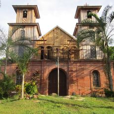
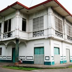
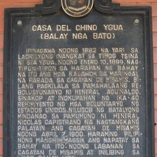
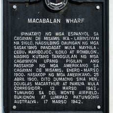
Spanish missionaries established a settlement here in the 17th century that later grew into a trading post. In 1950 the place officially gained city status and developed into a regional center for commerce and administration.
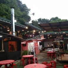
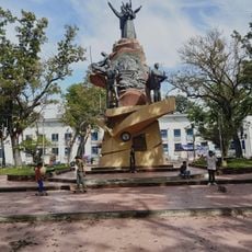
The name comes from the local river that shapes daily life for traders and farmers moving between the water and the central market areas. The yearly Higalaay gathering shows how people here cook and sell regional dishes while performing traditional dances in open plazas.
The city can be reached through an international airport and serves as the northern endpoint of the Sayre Highway, which crosses Mindanao. Visitors find accommodations in all price ranges here as well as bus connections to other parts of the island.
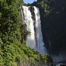
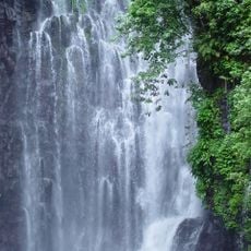
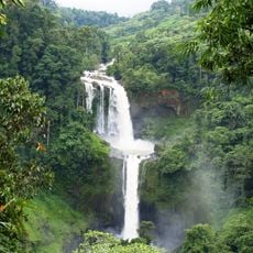
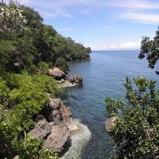
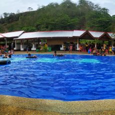
The river offers sections for white-water rafting that visitors can navigate between the calmer stretches used for irrigating surrounding fields. Some river sections alternate between fast-flowing passages and wide, slow areas where fishermen cast their nets.
The community of curious travelers
AroundUs brings together thousands of curated places, local tips, and hidden gems, enriched daily by 60,000 contributors worldwide.