
San Manuel, municipality of the Philippines in the province of Isabela
Location: Isabela
Inception: 1957
Elevation above the sea: 65 m
Shares border with: Roxas, Aurora
Website: http://sanmanuel-isabela.gov.ph
GPS coordinates: 17.01667,121.63333
Latest update: April 28, 2025 00:41
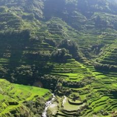
Banaue Rice Terraces
53.9 km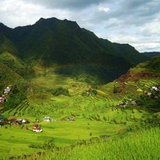
Rice Terraces of the Philippine Cordilleras
53.7 km
Callao Cave
79.1 km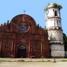
Tumauini Church
34.2 km
Basilica of Our Lady of Piat
87.3 km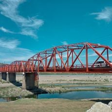
Buntun Bridge
66.7 km
Tuguegarao Cathedral
67.2 km
Mount Binuluan
65.8 km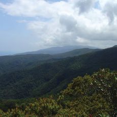
Northern Sierra Madre Natural Park
69.2 km
Bayombong Cathedral
78.5 km
Balbalasang-Balbalan National Park
74.4 km
Peñablanca Protected Landscape and Seascape
79.7 km
Gamu Cathedral
24.9 km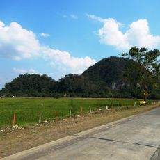
Quirino Protected Landscape
72.9 km
Batad Rice Terraces
53.7 km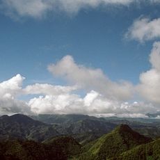
Mount Pulag National Park
83.1 km
Bontoc Cathedral
70.3 km
Sumaguing Cave
77.9 km
Church of Tumauini historical marker
34.2 km
Chapel of San Jacinto historical marker
67.5 km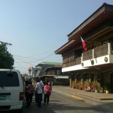
Balay Na Santiago
37 km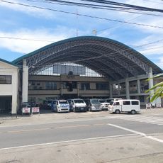
Bayombong Municipal Hall
78.6 km
Tabuk Cathedral
48.3 km
St. Paul University Philippines historical marker
67.5 km
Surrender of General Yamashita historical marker
64.2 km
The Cathedral of Tuguegarao historical marker
67.2 km
Hanging Coffins of Sagada
77.8 km
Church of Iguig historical marker
82.4 kmReviews
Visited this place? Tap the stars to rate it and share your experience / photos with the community! Try now! You can cancel it anytime.
Discover hidden gems everywhere you go!
From secret cafés to breathtaking viewpoints, skip the crowded tourist spots and find places that match your style. Our app makes it easy with voice search, smart filtering, route optimization, and insider tips from travelers worldwide. Download now for the complete mobile experience.

A unique approach to discovering new places❞
— Le Figaro
All the places worth exploring❞
— France Info
A tailor-made excursion in just a few clicks❞
— 20 Minutes