
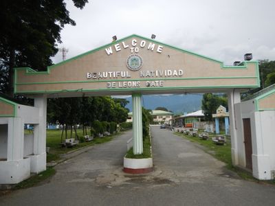
Natividad, municipality of the Philippines in the province of Pangasinan
Location: Pangasinan
Elevation above the sea: 135 m
Shares border with: San Nicolas, San Quintin
Website: http://natividad.gov.ph
GPS coordinates: 16.04222,120.79528
Latest update: March 7, 2025 21:27

Our Lady of Manaoag
32.8 km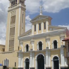
Manaoag Church
32.8 km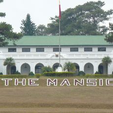
The Mansion
45.2 km
Mines View Park
45.7 km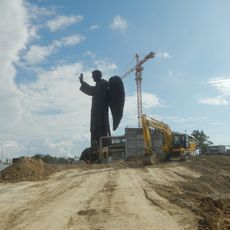
St. Vincent Ferrer Statue
45.2 km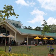
Camp John Hay
44.4 km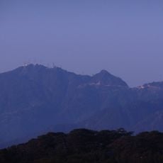
Mount Santo Tomas
41.1 km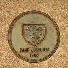
John Hay Air Base
43.3 km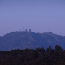
Mount Cabuyao
43 km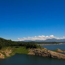
Pantabangan–Carranglan Watershed Forest Reserve
45.2 km
Urdaneta Philippines Temple
25.1 km
Salinas Natural Monument
43.6 km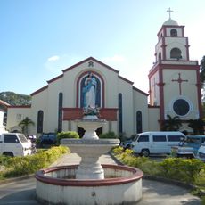
Urdaneta Cathedral
25.6 km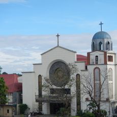
Saint Ildephonse of Seville Parish Church
43.1 km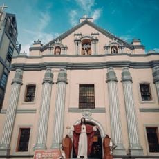
Bayambang Plaza
44.6 km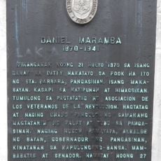
Daniel Maramba historical marker
42.4 km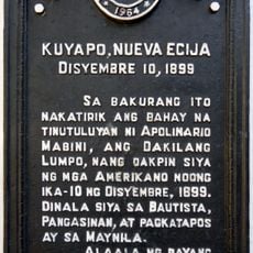
Cuyapo, Nueva Ecija historical marker
32.1 km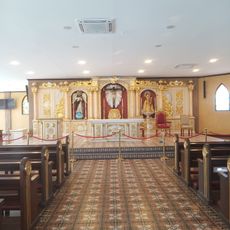
Saint Vincent Ferrer Prayer Park
45.1 km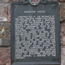
Mansion House historical marker
45.4 km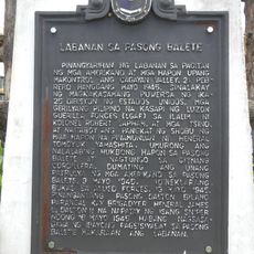
Battle of Balete Pass historical marker
17.6 km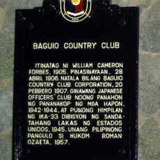
Baguio Country Club historical marker
44.9 km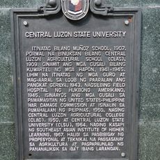
Central Luzon State University historical marker
37.5 km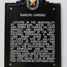
Rancho Caridad historical marker
37.8 km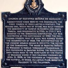
Church of Nuestra Señora de Manaoag historical marker
32.8 km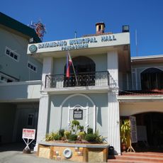
Seat of the Revolutionary Government of the Philippines historical marker
44.5 km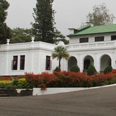
Mansion House historical marker
45.2 km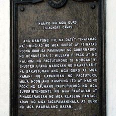
Camp of the Teachers historical marker
45.6 km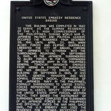
United States Embassy Residence Baguio historical marker
43.3 kmReviews
Visited this place? Tap the stars to rate it and share your experience / photos with the community! Try now! You can cancel it anytime.
Discover hidden gems everywhere you go!
From secret cafés to breathtaking viewpoints, skip the crowded tourist spots and find places that match your style. Our app makes it easy with voice search, smart filtering, route optimization, and insider tips from travelers worldwide. Download now for the complete mobile experience.

A unique approach to discovering new places❞
— Le Figaro
All the places worth exploring❞
— France Info
A tailor-made excursion in just a few clicks❞
— 20 Minutes