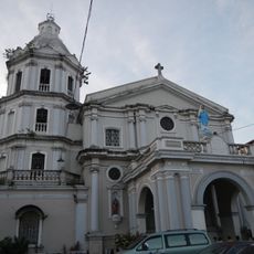
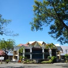
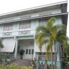
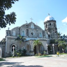
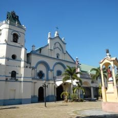
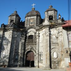
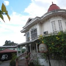
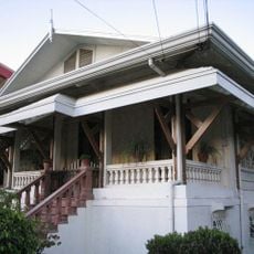
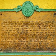
Arayat, municipality of the Philippines in the province of Pampanga
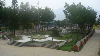
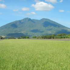
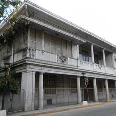
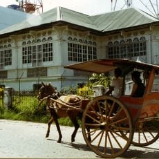
Arayat is a municipality in Pampanga, situated near the base of Mount Arayat, a prominent volcanic peak that shapes the local landscape. The town spreads across agricultural lands and residential areas that blend with the rural character of the region.
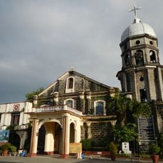
The municipality originated during the colonial period as an agricultural settlement, with residents relying on the surrounding lands. The volcanic presence of Mount Arayat significantly influenced settlement patterns and local resource use throughout its history.
The area is accessible by local transport and offers walking routes toward the volcanic peak for those interested in outdoor activities. Visitors should prepare for rural terrain and variable weather conditions common to the region.
The local name Arayat comes from an indigenous language and refers to a high place or mountain peak. This naming reflects the deep connection between the community and the dominant volcanic feature that defines its landscape.
The community of curious travelers
AroundUs brings together thousands of curated places, local tips, and hidden gems, enriched daily by 60,000 contributors worldwide.