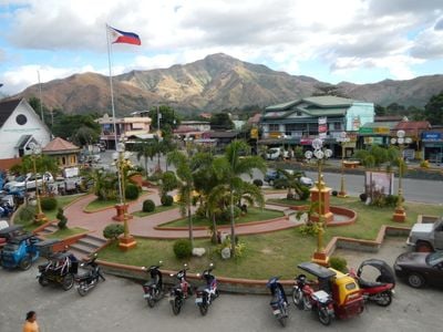
San Antonio, municipality of the Philippines in the province of Zambales
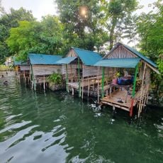
San Antonio is a small coastal town in Zambales province with simple houses, quiet streets, and a location between mountains and the sea. The landscape includes rice fields, small farms, beaches with soft sand, and views toward the South China Sea where small boats are often moored.
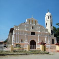
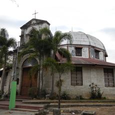
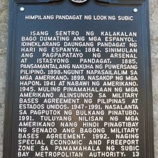
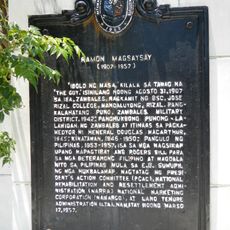
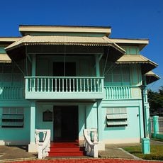
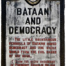
The town started long ago as a hunting ground for local people before settlers from Ilocos Norte built Spanish-style homes in the 1800s. It grew as a trading center, and a former U.S. Navy base that once made it a busy place was shut down after volcanic activity and a major earthquake.
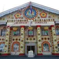
The town shows how local traditions shape daily life through shared celebrations and family gatherings. Residents speak different languages like Tagalog, Ilocano, and Sambal, and festivals with music and traditional dances bring the community together regularly.
Walking through the streets is the best way to explore San Antonio and experience daily life at your own pace. The town is easy to navigate, locals are helpful with directions, and fresh produce is available in markets throughout the day; information about events and activities is easy to find at local offices or community centers.
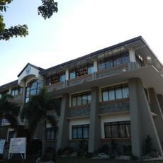
A community arts center teaches young people violin, guitar, and piano to keep local music traditions alive and offers small concerts for visitors. This cultural initiative helps blend old traditions with contemporary learning opportunities that many towns lack.
The community of curious travelers
AroundUs brings together thousands of curated places, local tips, and hidden gems, enriched daily by 60,000 contributors worldwide.