Santa Maria, municipality of the Philippines in the province of Laguna
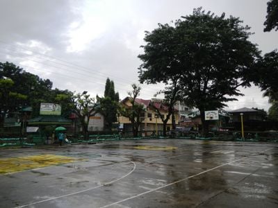
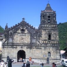
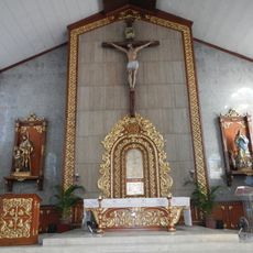
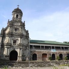
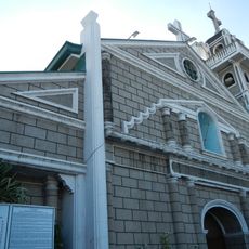
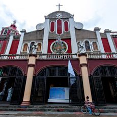
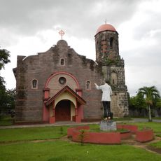
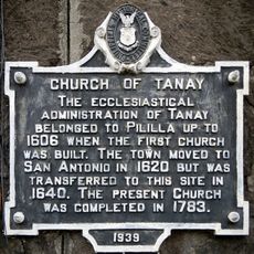
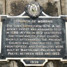
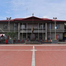
Santa Maria is a small municipality in Laguna province on the Philippines, made up of 25 administrative areas called barangays. The Nuestra Señora de los Angeles Parish Church stands at its center and has been rebuilt multiple times, with its facade still showing features of early Spanish construction.
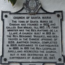
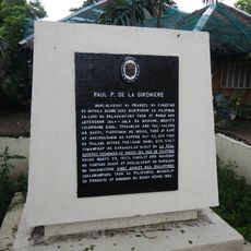
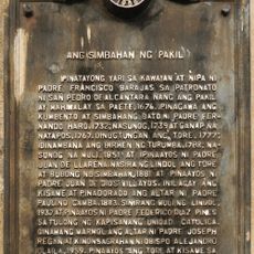
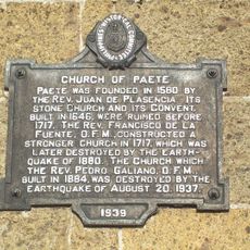
The town was originally part of a larger area called Caboan, meaning bamboo thicket, and was named San Miguel de Caboan during the Spanish period. After multiple natural disasters and conflicts, the church was repeatedly destroyed and rebuilt, especially following World War II.
The town's name comes from a legend about an image of the Virgin Mary that a couple found after returning from the market, which they believed was miraculous. People gather for local festivals and religious celebrations where traditional dances, songs, and crafts keep the shared heritage alive.
The town is about 50 kilometers from the capital city of Manila and is accessible for a day trip. Main locations are within walking distance, as streets are wide and straightforward to navigate.
The town's name comes from a couple finding what they thought was a porcelain figure that turned out to be a sacred image of the Virgin Mary, believed to perform miracles. This discovery led to the building of the first church and made the place spiritually important to many people.
The community of curious travelers
AroundUs brings together thousands of curated places, local tips, and hidden gems, enriched daily by 60,000 contributors worldwide.