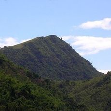
Mount Sembrano, Mountain summit in Pililla, Philippines
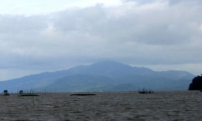
Mount Sembrano is a mountain peak on the Jalajala peninsula in Rizal province, Philippines, with water surrounding it on three sides along the shores of Laguna de Bay. The trail begins at the Barangay Hall of Malaya in Pililla and passes through forest before reaching the open summit.
The mountain was shaped by volcanic activity, with the most recent eruptions dating back roughly 27,000 to 29,000 years. A solfataric field in its southern section still shows signs of that ancient underground heat.
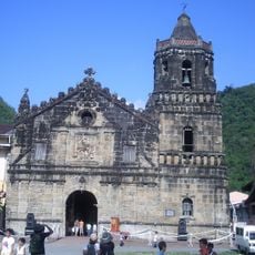
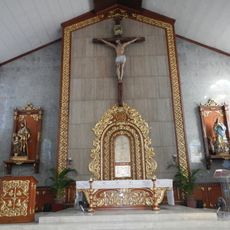
A small shrine sits along the trail and is regularly visited by people from nearby communities. Hikers often pass locals pausing there for a moment of prayer on their way up.
The ascent typically takes around four hours, so starting early in the morning is important to leave enough daylight for the return. Sturdy shoes and enough water are necessary on this trail.
The Manggahan waterfall lies just a few minutes off the main trail and provides a source of fresh water along the route. It is not a marked stop, but many hikers who know the area pass by it during the trek.
The community of curious travelers
AroundUs brings together thousands of curated places, local tips, and hidden gems, enriched daily by 60,000 contributors worldwide.