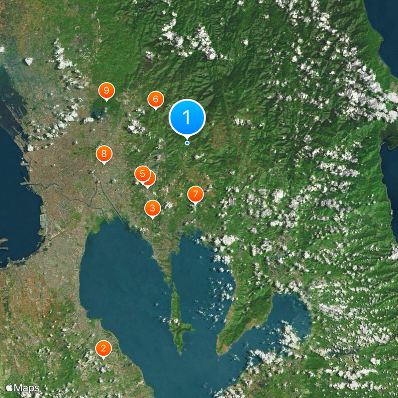
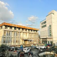
Rizal, Province in CALABARZON, Philippines
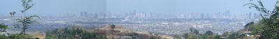
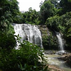
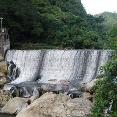
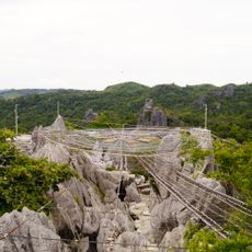
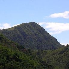
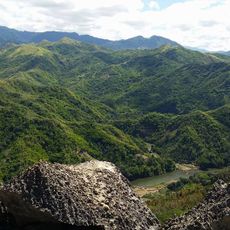
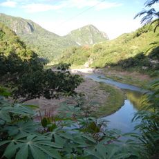
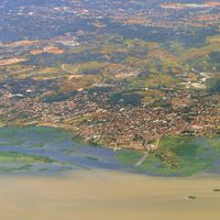
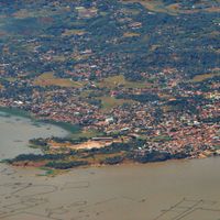
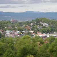
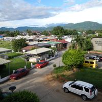
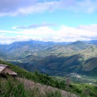
Rizal is an administrative division east of Manila within the CALABARZON region, covering mountainous terrain along the southern edge of the Sierra Madre. The highest peaks reach around 1,500 meters and shape the landscape, while towns sit at different elevations.
The administrative division was created in 1901 by an act of the First Philippine Commission and initially included several dozen towns. Boundaries were adjusted multiple times over the decades to reach the current configuration.
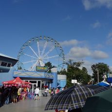
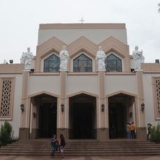
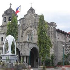
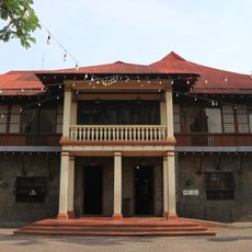
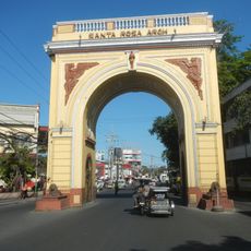
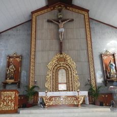
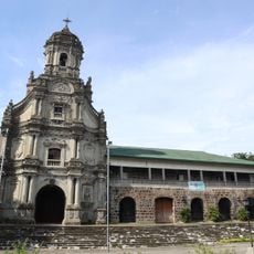
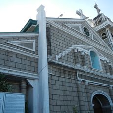
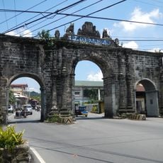
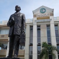
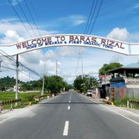
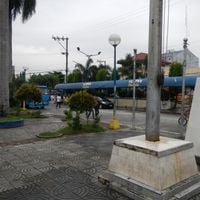
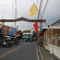
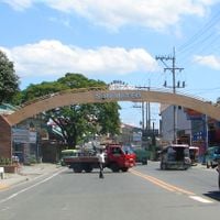
The place honors José Rizal, one of the country's most important national heroes from the late 19th century. Residents from the Tagalog region celebrate their traditions regularly through festivals held in different towns across the administrative area.
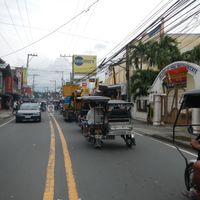
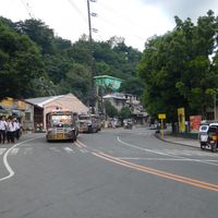
Buses and taxis run daily from Manila to the different towns in the administrative area and take between one and a half to three hours depending on the destination. Travelers should bring small change for local rides and prepare for changing weather in the mountains.
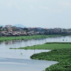
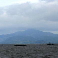
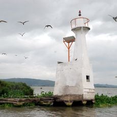
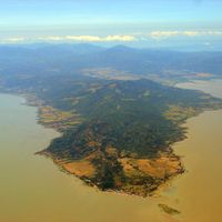
Four islands in Laguna de Bay belong to the administrative division and sit off the coast of the main landmass. These islands have their own small communities and can be reached by boat from the mainland.
The community of curious travelers
AroundUs brings together thousands of curated places, local tips, and hidden gems, enriched daily by 60,000 contributors worldwide.