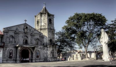
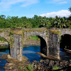
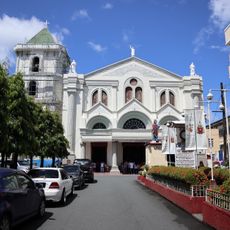
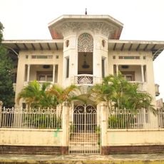
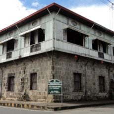
Pagbilao, Administrative division in Quezon Province, Philippines.
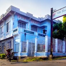
Pagbilao is a municipality in Quezon Province on Luzon island, located about 140 kilometers south of Manila. It sits along the northern shore of Tayabas Bay, roughly 9 kilometers east of Lucena City.
The name Pagbilao comes from two Tagalog words: papag, meaning bamboo beds, and bilao, referring to a winnowing basket for rice. The settlement grew as an agricultural and fishing community in the region.
The local government structure follows the Sangguniang Bayan system, with 27 barangays serving as fundamental administrative units for community organization and development.
The area connects to Manila through the Pan-Philippine Highway, making travel straightforward. Most of the municipality is accessible by road, though some outer areas may have narrower or less developed routes.
The climate stays warm and consistent year-round, with temperatures between 26 and 31 degrees Celsius. This steady weather supports the agricultural cycles that define much of the local economy.
The community of curious travelers
AroundUs brings together thousands of curated places, local tips, and hidden gems, enriched daily by 60,000 contributors worldwide.