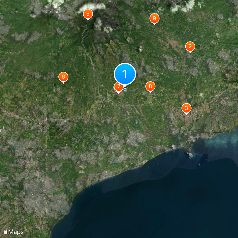
Sariaya, Coastal municipality in Quezon Province, Philippines
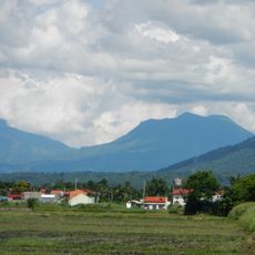
Sariaya is a coastal municipality in Quezon Province that stretches along Tayabas Bay, with mountainous terrain inland from the shoreline. The settlement is organized into urban and rural districts that together form the administrative area.
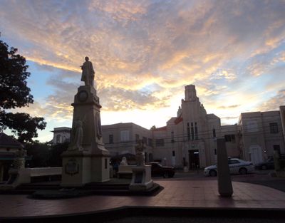
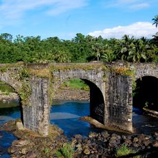
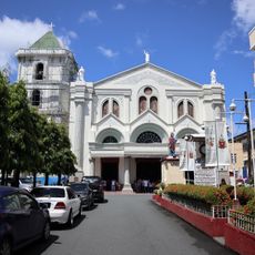
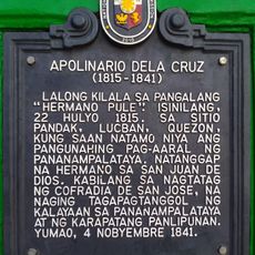
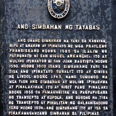
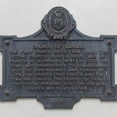
The settlement was founded in the late 1500s by Spanish missionaries who built the first church and established Christian communities. Its coastal location exposed it to repeated raids over centuries, forcing the community to relocate multiple times and reshape how it was organized.
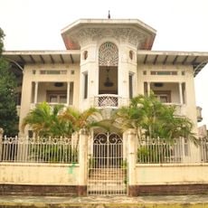
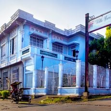
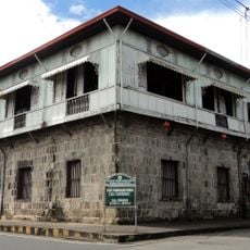
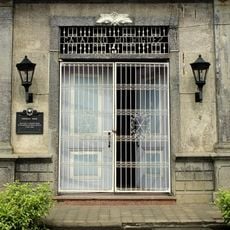
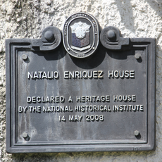
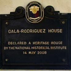
The ancestral houses in Sariaya display Spanish colonial design with their distinctive facades and interior courtyards that reflect how residents lived during that era. These structures remain central to how locals understand their community's past and identity.
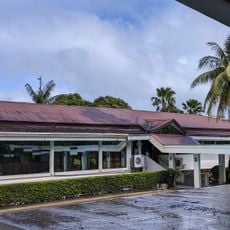
The town center is located along General Luna Street, where markets and shops reflect the daily life of the community. Visitors can explore the area on foot or by using local transport options like tricycles and jeepneys.
The agricultural tradition in Sariaya is closely connected to tidal zones where fishponds and rice fields coexist in the same landscape. This blend of fishing and farming shapes how the land looks and remains central to how people make their living.
The community of curious travelers
AroundUs brings together thousands of curated places, local tips, and hidden gems, enriched daily by 60,000 contributors worldwide.