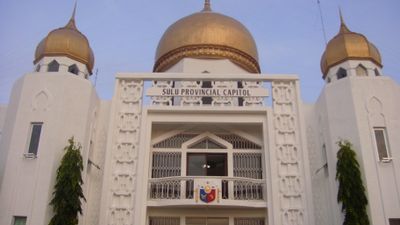
Jolo, Administrative capital in Sulu province, Philippines.
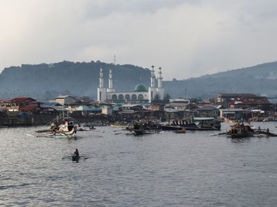
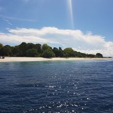
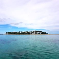
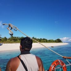
Jolo is a municipality stretching along the northwestern coast of Jolo Island, positioned between the Sulu Sea and Celebes Sea, with numerous volcanic formations and tropical vegetation throughout the landscape. The settlement uses its natural coastal location to support various harbors and docks for maritime traffic.
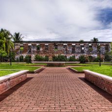
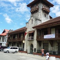
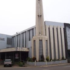
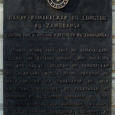
Spanish forces established control over Jolo in 1876 by constructing fortified walls and military towers around the settlement, marking the beginning of colonial administration. These fortifications shaped the built structure of the town and influenced its subsequent development.
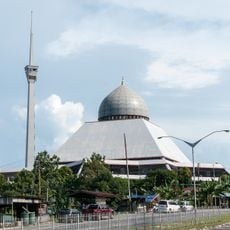
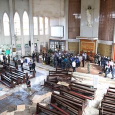
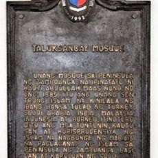
The Tausug people shape daily life here with their long-standing customs and traditions. The Tulay Central Mosque serves as the largest Islamic structure in Sulu and remains an important gathering place for the community.
The port has a main pier for large vessels and several smaller docks that enable connections to various destinations. Visitors should check current maritime conditions before traveling, as ferry schedules and routes may vary depending on the season.
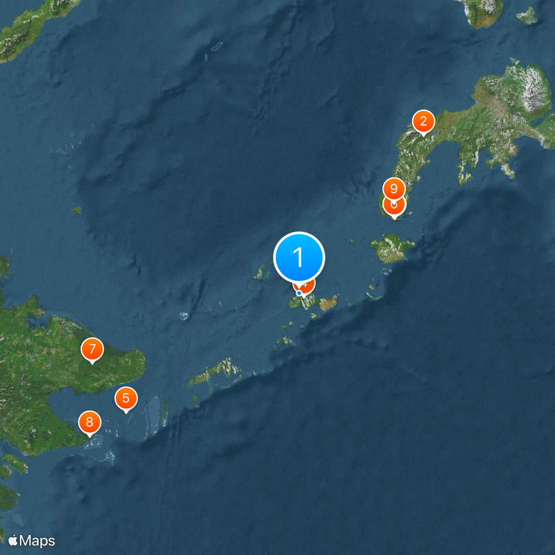
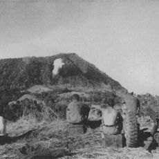
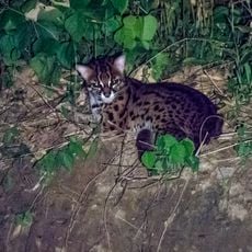
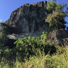
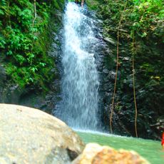
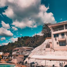
Mount Dajo is a protected natural area spanning hundreds of acres that provides refuge for numerous wildlife species. This location attracts nature lovers who wish to explore undisturbed landscape and diverse biodiversity.
Location: Sulu
Inception: 1952
Elevation above the sea: 70 m
Shares border with: Hadji Panglima Tahil
Website: http://jolo.gov.ph
GPS coordinates: 6.05000,121.00000
Latest update: December 14, 2025 17:49
Zamboanga Peninsula
252.8 km
Fort Pilar
152.7 km
Bud Dajo
7.5 km
Panguan Islet
264.3 km
Zamboanga City Hall
152.3 km
Tabin Wildlife Reserve
274.5 km
Skull Hill, Malaysia
318.7 km
Pasonanca Natural Park
165 km
Panampangan Island
150.5 km
Isabela Cathedral
129.9 km
Sandakan District Mosque
318.7 km
Joaquin F. Enriquez Memorial Stadium
151.7 km
Tun Sakaran Museum
318.2 km
Jolo Cathedral
311 m
Mardanas
253.2 km
Zamboanga City Hall historical marker
152.3 km
Alindahaw Lakeview Resort
314.1 km
Taluksangay Mosque historical marker
164.7 km
Zamboanga Beach historical marker
148.7 km
Sheik Karimol Makhdum Mosque
180.8 km
Sheik Makhdum Mosque historical marker
180.8 km
Fort Pilar historical marker
152.7 km
Monte Verde Resort
164.3 km
Kipit quincentennial historical marker
278.4 km
Bank of the Philippine Islands Zamboanga historical marker
152.4 km
Subanin quincentennial historical marker
151.5 kmPort Sambulauan
311.6 km
Cawit quincentennial historical marker
147.6 kmVisited this place? Tap the stars to rate it and share your experience / photos with the community! Try now! You can cancel it anytime.
Discover hidden gems everywhere you go!
From secret cafés to breathtaking viewpoints, skip the crowded tourist spots and find places that match your style. Our app makes it easy with voice search, smart filtering, route optimization, and insider tips from travelers worldwide. Download now for the complete mobile experience.
A unique approach to discovering new places❞
— Le Figaro
All the places worth exploring❞
— France Info
A tailor-made excursion in just a few clicks❞
— 20 Minutes