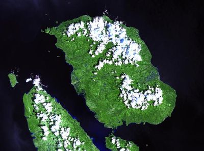
Biliran, Volcanic peak in Eastern Visayas, Philippines
Mount Biliran is a volcano in the Eastern Visayas that rises to approximately 1,300 meters (4,265 ft) with thermal springs and bubbling pools scattered across its slopes. The landscape shows clear signs of geothermal activity with steaming vents visible in various areas.
The volcano last erupted in September 1939, leaving ash deposits across the region. This remains the most recent recorded volcanic activity on the island.
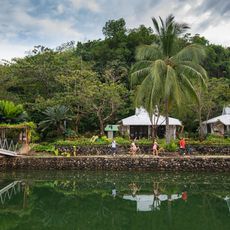
Local communities have long relied on the thermal springs for bathing and healing purposes. Today, visitors can observe how residents naturally incorporate these hot water sources into their daily routines.
Hiking trails connect different thermal areas, with guided tours available from Naval town through established mountain paths. The driest months offer the best conditions for exploring the slopes and hot springs safely.
The volcano forms part of an extensive volcanic chain stretching over 170 kilometers southward toward Panaon Island, marking a significant regional tectonic boundary. This geological arrangement makes the area noteworthy for understanding plate movements.
Location: Eastern Visayas
Location: Biliran
Elevation above the sea: 1,301 m
GPS coordinates: 11.52300,124.53500
Latest update: December 7, 2025 20:48
San Juanico Bridge
53.6 km
Calbayog Cathedral
60.9 km
Price Mansion
59.9 km
Palo Cathedral
64.2 km
Leyte Provincial Capitol
59.5 km
Biliran Watchtower
8.9 km
Langun-Gobingob Cave
57.6 km
Naval Cathedral
15.8 km
Kalanggaman Island Beach
55 km
Leyte Park
59.7 km
Golden Sands
59.8 km
Patio Victoria Baluarte Beach Resort
64.2 km
Japanese Pillbox historical marker
64.2 km
Agta Beach
22.9 km
San Juan Beach
53.6 km
Malapascua Island Lighthouse
50.5 km
Biliran Watchtower historical marker
8.9 km
Battle of Ormoc Bay historical marker
58.4 km
Cathedral of Calbayog historical marker
60.9 km
Capitol Building of the Philippines historical marker
59.5 km
Limpiado Beach
28.7 km
Price Mansion
59.9 km
The Cathedral of Palo historical marker
64.2 km
Barugo Municipal Hall
31 km
Hagdan Beach
30.7 km
Provisional Capitol historical marker
59.9 km
The Convent of Palo historical marker
64.2 km
San Rafael Beach
64.1 kmVisited this place? Tap the stars to rate it and share your experience / photos with the community! Try now! You can cancel it anytime.
Discover hidden gems everywhere you go!
From secret cafés to breathtaking viewpoints, skip the crowded tourist spots and find places that match your style. Our app makes it easy with voice search, smart filtering, route optimization, and insider tips from travelers worldwide. Download now for the complete mobile experience.
A unique approach to discovering new places❞
— Le Figaro
All the places worth exploring❞
— France Info
A tailor-made excursion in just a few clicks❞
— 20 Minutes