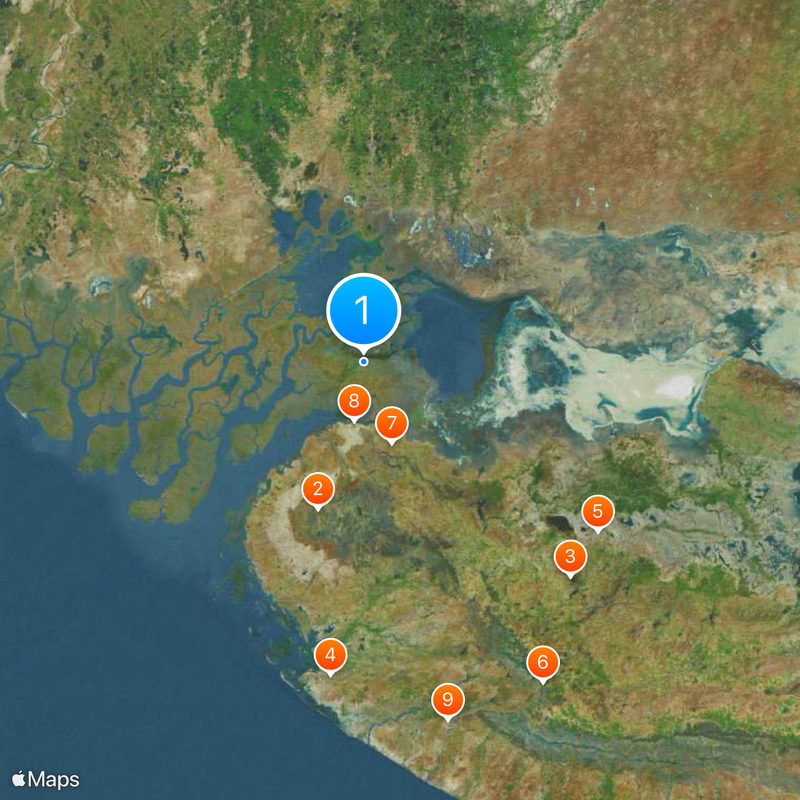
Sir Creek, 96-kilometer estuary between Gujarat and Sindh, Pakistan
Sir Creek is an estuary in the Indus Delta that winds through wetlands and flows into the Arabian Sea. The water mixes here with mudbanks, channels and shallow lagoons that change appearance with the tides.
The border along the estuary emerged in 1947 during the partition of British India and was never finally settled. Since then, both states have negotiated the exact course of the waterline without reaching an agreement.
Fishers from coastal villages still follow old rules that determine when and where nets may be cast. These routines reflect age-old agreements that organize the coexistence of people around the estuary.
The monsoon season from June to September brings heavy rains that raise water levels and make progress difficult. Boats must then switch to shallower routes, while the mudflats become temporarily impassable.
Geologists suspect oil and gas deposits beneath the water that are economically interesting for both neighboring countries. These resources play a role in the ongoing border talks and influence regional politics.
The community of curious travelers
AroundUs brings together thousands of curated places, local tips, and hidden gems, enriched daily by 60,000 contributors worldwide.