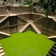
Sindri Fort, Military fort in Gujarat, India
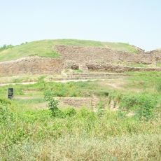
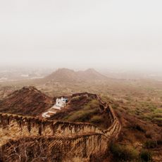
Sindri Fort is a fortification near the Nara river, an eastern branch of the Indus River in western Gujarat. The site sits in a flat landscape surrounded by waterways and marked by partially submerged stone structures.
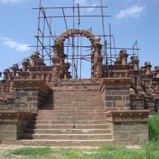
The fort was severely damaged during a powerful earthquake in 1819, causing it to subside as waters flooded in. After this event, the structure gradually sank below the river's water level.
The formation of Allah bund, a fifty-mile strip of elevated land near the fort, became part of regional geological studies and local narratives.
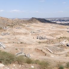
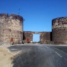
The ruins are difficult to reach because they lie partly underwater in a remote location. Visitors should expect uneven terrain and water bodies and ideally come with local guides who know the area.
The site played an important role in early geological studies because it demonstrated how tectonic movements shaped landscapes. These observations were documented by prominent scientists and contributed to understanding how the Earth changes over time.
The community of curious travelers
AroundUs brings together thousands of curated places, local tips, and hidden gems, enriched daily by 60,000 contributors worldwide.