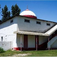
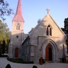
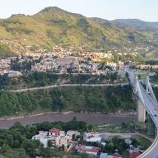
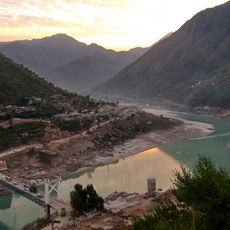
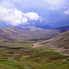
Mansehra District, Administrative district in Hazara Division, Pakistan.
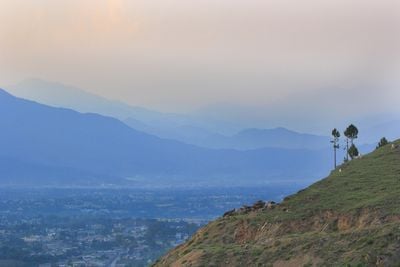
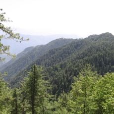
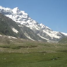
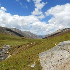
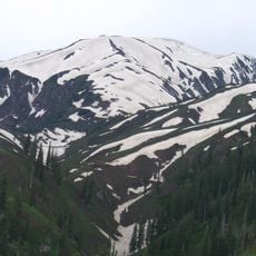
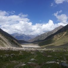
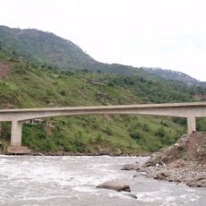
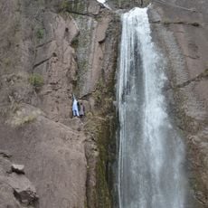
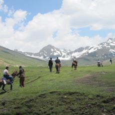
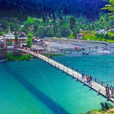
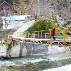
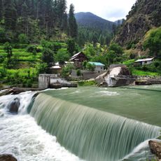
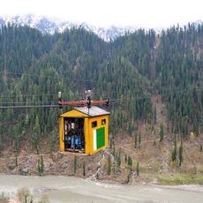
Mansehra District is an administrative region in Hazara with mountainous terrain divided by deep valleys. It comprises six administrative divisions with different characteristics, from lower elevations in some areas to higher mountain zones in others.
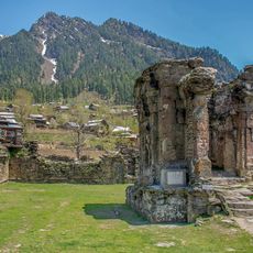
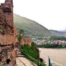
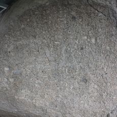
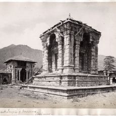
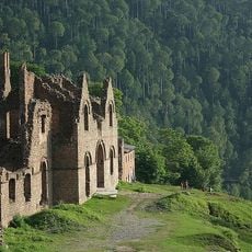
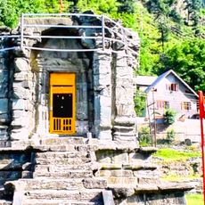
The region holds ancient rock inscriptions carved during the Mauryan Empire around 272 BCE on three large stone boulders. These carvings reveal the area's historical importance as a significant location along ancient trade routes.
The people here speak mainly Hindko in daily life, a language deeply rooted in the region. This linguistic identity connects the different communities and shapes how locals interact with one another.
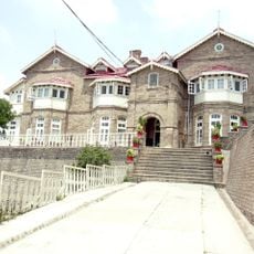
The district is connected by road networks to other parts of Khyber Pakhtunkhwa province and has schools and colleges available. Weather conditions in the mountains change with seasons, so visitors should plan accordingly for their journey.
The Gujari dialect spoken here connects eastern and western language variations found in neighboring regions like Chitral, Swat, and Gilgit. This linguistic feature makes the area worth noticing for understanding how language changes across nearby mountain communities.
The community of curious travelers
AroundUs brings together thousands of curated places, local tips, and hidden gems, enriched daily by 60,000 contributors worldwide.