Małogoszcz, Administrative center in Świętokrzyskie Voivodeship, Poland
Małogoszcz is a town in Świętokrzyskie Voivodeship located across rolling terrain and forms part of Jędrzejów County. The settlement spreads across several districts with a traditional town center where administrative buildings and shops stand.
The town received city privileges in 1408 from King Władysław II Jagiełło and soon became an important cloth-making center. By the 16th century, around 180 households prospered through trade in textiles and local commerce.
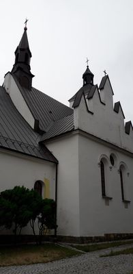
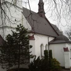
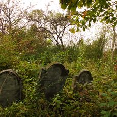
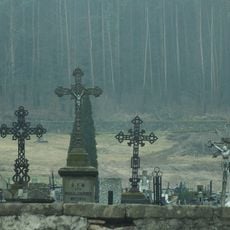
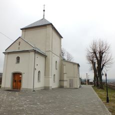
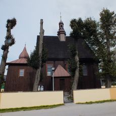
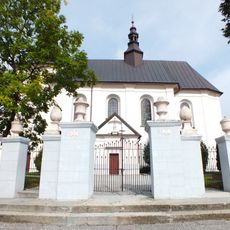
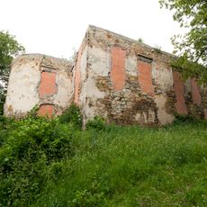
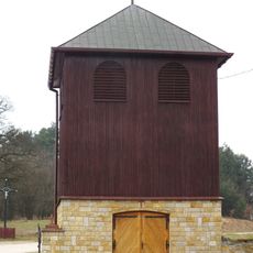
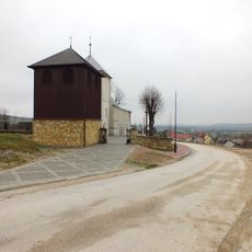
The Renaissance parish church and the cemetery chapel show construction methods typical of the region during the 16th century. These buildings shape how the town looks today and reflect local building practices from that era.
The town connects to main regional roads and has the basic facilities visitors need during their stay. Schools, a healthcare center, shops, and a town hall are located in or near the center where most activities take place.
After the January Uprising, Russian authorities stripped the town of its city status in 1869 and downgraded it to a village. It took until 1996 for Małogoszcz to regain its municipal rights and official town status.
Location: Gmina Małogoszcz
Address: Małogoszcz, Poland
Website: http://malogoszcz.pl
GPS coordinates: 50.81235,20.26483
Latest update: December 8, 2025 13:41
Museum of the Kielce Countryside
13.4 km
Miedzianka
7.7 km
Ethnographic Park in Tokarnia
13.4 km
Jaskinia Piekło pod Skibami
11.8 km
Rezerwat przyrody Góra Miedzianka
7.7 km
Rezerwat przyrody Góra Rzepka
13.2 km
Church of the Assumption in Małogoszcz
167 m
Jaskinia w Sztolni Zofia na Miedziance
7.7 km
Jaskinia w Sztolni Teresa na Miedziance
7.8 km
Kościół św. Michała w Gruszczynie
10.7 km
Jaskinia Psia
7.8 km
Jaskinia Nowa na Miedziance
7.7 km
Church of the Nativity of the Blessed Virgin Mary in Kozłów
7.5 km
Jewish cemetery in Małogoszcz
1.2 km
Piekło pod Małogoszczem
4.2 km
Church of Saint Stanislaus in Małogoszcz
687 m
Cmentarz kościelny - otoczenie w granicach ogrodzenia
5.9 km
World War I cemetery in Gnieździska
7.2 km
Parish cemetery in Chęciny
12.9 km
Kościół Narodzenia NMP w Bolminiu
5.9 km
Saints Peter and Paul church in Rembieszyce
6.4 km
All Saints church in Złotniki, Świętokrzyskie Voivodeship
7 km
58 Małogoska Street in Chęciny
13.5 km
Manor in Bolmin
6.3 km
Dzwonnica w Bolminiu
5.9 km
Zespół dworski w Lasochowie
6.9 km
Plebania
161 m
Zespół kościoła Narodzenia NMP w Bolminiu
5.9 kmVisited this place? Tap the stars to rate it and share your experience / photos with the community! Try now! You can cancel it anytime.
Discover hidden gems everywhere you go!
From secret cafés to breathtaking viewpoints, skip the crowded tourist spots and find places that match your style. Our app makes it easy with voice search, smart filtering, route optimization, and insider tips from travelers worldwide. Download now for the complete mobile experience.
A unique approach to discovering new places❞
— Le Figaro
All the places worth exploring❞
— France Info
A tailor-made excursion in just a few clicks❞
— 20 Minutes