Gmina Zawoja, Rural municipality in Sucha County, Poland.
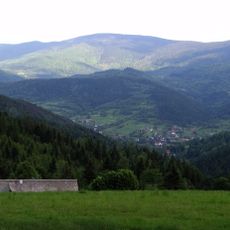
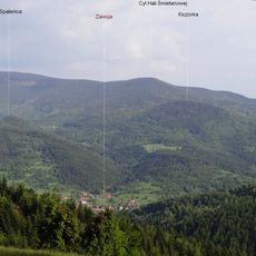
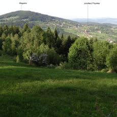
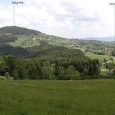
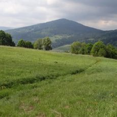
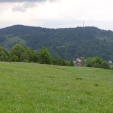
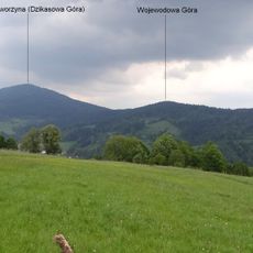
Gmina Zawoja is a rural municipality in Sucha County located in the mountainous region of southern Poland. The main village and several smaller settlements dot the landscape across this administrative territory.
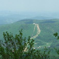
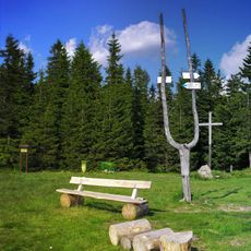
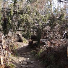
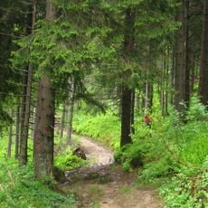
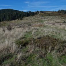
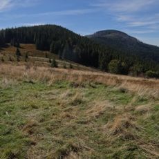
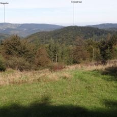
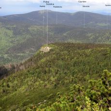
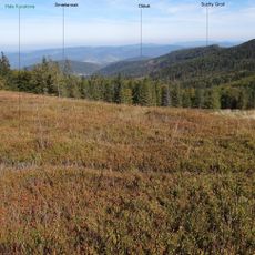
The area emerged in the 19th century as a mountain destination for visitors attracted by the landscape and hiking trails. This early tourism tradition shaped how the settlement developed and continues to influence local life today.
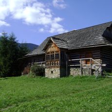
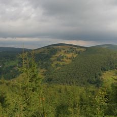
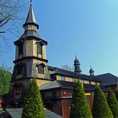
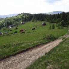
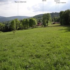
The area preserves wooden houses and mountain traditions of the Gorals who have lived here for centuries. Their way of life continues to shape the villages and local customs you see in daily interactions.
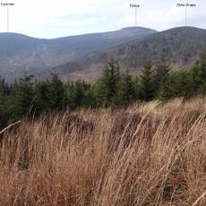
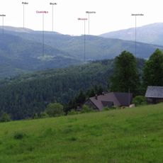
The administrative center is located in the village of Zawoja, a moderate distance southwest of Kraków. Getting around requires mountain roads and trails, so visitors should be prepared for terrain and limited services in smaller settlements.
The village of Zawoja is exceptionally long, stretching for many kilometers through a mountain valley rather than clustering in a single area. This unusual linear settlement pattern emerged from how land was historically divided among families and the natural contours of the valley.
The community of curious travelers
AroundUs brings together thousands of curated places, local tips, and hidden gems, enriched daily by 60,000 contributors worldwide.