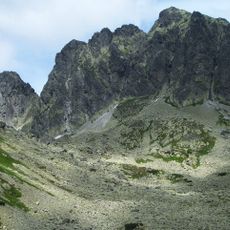
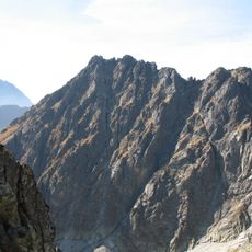
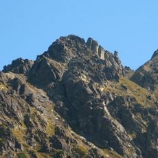
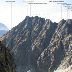
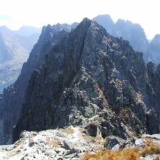
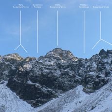
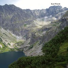
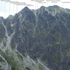
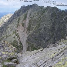
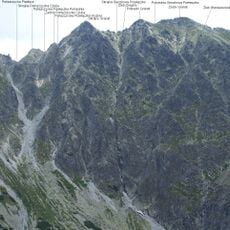
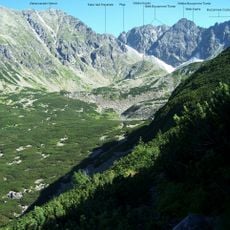
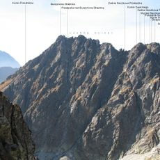
Buczynowe Turnie, Mountain arête in Brzegi, Poland.
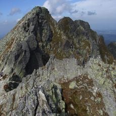
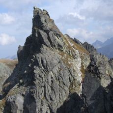
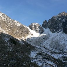
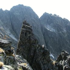
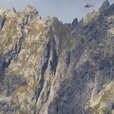
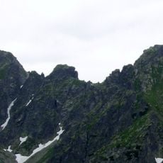
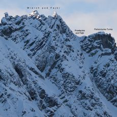
The Buchentaltürme is a rock ridge in the Tatra County border area that rises between 770 and 2499 meters in elevation. The formation displays jagged rock faces and connects several mountain passes across the high-altitude terrain.
The ridge was first documented in regional maps during the 16th century as settlements expanded into the Tatra region. This early mapping shows how the formation served as an important reference for mountain passages.
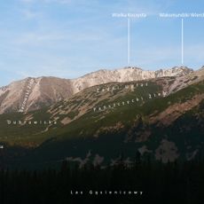
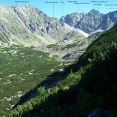
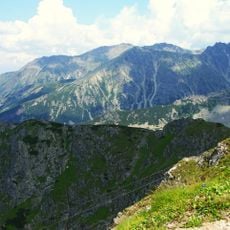
The rock formation shapes how hikers move through this area, serving as a natural landmark that separates different valleys and mountain communities. Locals and visitors alike use it as a reference point when navigating the region.
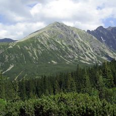
The formation is reached via marked trails starting from Brzegi village, with the red-marked path to Morskie Oko lake as the main route. The terrain requires sturdy footwear and hiking experience, especially in the higher sections.
The ridge separates five distinct valleys in the area, each with different terrain and character. This positioning makes it a crucial navigation point for hikers moving between the various mountain regions.
The community of curious travelers
AroundUs brings together thousands of curated places, local tips, and hidden gems, enriched daily by 60,000 contributors worldwide.