Enable Location

We need your location to show you interesting places around you

Discover nearby places

Find interesting locations and hidden gems around you

Precise directions

Get accurate directions and distances to places

Your location is never shared with other users. It's only used when you tap the location button.

Podgórze

Log in to your account

Start exploring — it's free

Trusted by 61,956 travelers worldwide

Continue with Google
Continue with Apple
or

We will send you a code to connect

By continuing, you accept our Terms and Conditions and our Privacy Policy

Check your inbox

We've sent a pincode in your inbox. Please enter the code below.

Podgórze, Administrative district on the southern bank of Vistula River in Kraków, Poland.

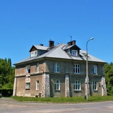
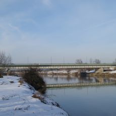
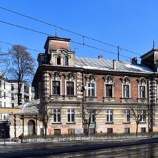
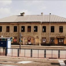
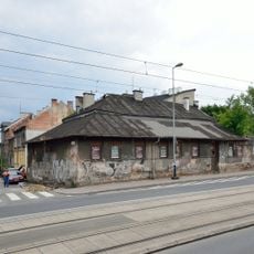
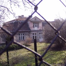
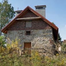
Podgórze is a district on the southern bank of the Vistula River in Kraków, encompassing neighborhoods like Płaszów, Rybitwy, and Przewóz. The area features a mix of older brick buildings and residential apartments spread across tree-lined streets and open spaces.

The area became an independent town under Emperor Joseph II in 1784 and maintained this status until 1915, when it merged with Kraków as the city's thirteenth district. This transition marked a major shift in its governance and connection to the larger urban center.

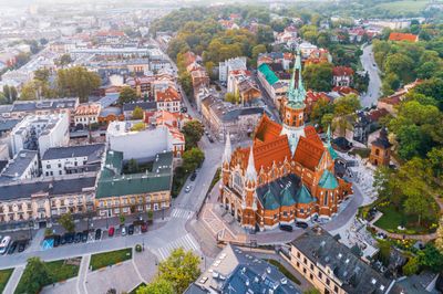
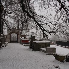
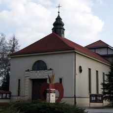
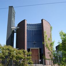
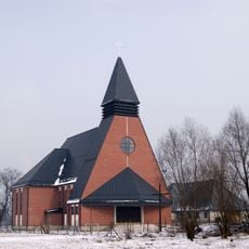
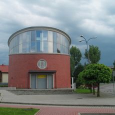
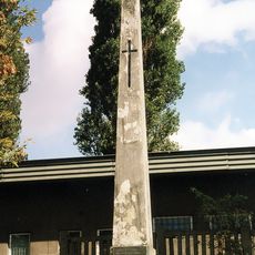
Saint Joseph Church shapes the look of Podgórze and shows how residents express their faith through architecture. You will find places here that reflect spiritual life across many generations.

Multiple tram lines and bus routes connect the district to central Kraków, making movement between neighborhoods straightforward. Sidewalks and cycling paths help visitors navigate on foot or by bike.

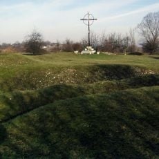
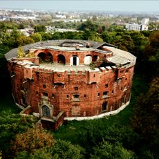
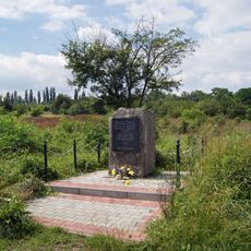
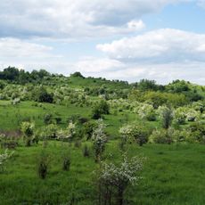
The Krakus Mound on Lasota Hill is the oldest structure in the district and is believed to be the burial site of Prince Krakus. This ancient earthwork offers a rare glimpse into early settlement patterns and local legend.

The community of curious travelers

AroundUs brings together thousands of curated places, local tips, and hidden gems, enriched daily by 60,000 contributors worldwide.

Start exploring
Location
Inception
1991
Shares border with
Bieżanów-Prokocim, Podgórze Duchackie, Łagiewniki-Borek Fałęcki, Dębniki, Old Town, Grzegórzki, Czyżyny, Nowa Huta
GPS coordinates
50.04167,19.98333
Latest update
December 10, 2025 16:04
« Podgórze - Administrative district on the southern bank of Vistula River in Kraków, Poland » is provided by Around Us (aroundus.com). Images and texts are derived from Wikimedia project under a Creative Commons license. You are allowed to copy, distribute, and modify copies of this page, under the conditions set by the license, as long as this note is clearly visible.

Discover hidden gems everywhere you go!

From secret cafés to breathtaking viewpoints, skip the crowded tourist spots and find places that match your style. Our app makes it easy with voice search, smart filtering, route optimization, and insider tips from travelers worldwide. Download now for the complete mobile experience.

Around Us App Screenshot

A unique approach to discovering new places

Le Figaro

All the places worth exploring

France Info

A tailor-made excursion in just a few clicks

20 Minutes

Around Us
Travel Guide & Maps
Download

Send to your phone

QR Code
1

Open the camera app on your mobile.

2

Point at the QR code with your camera. A notification will appear.

3

Tap the notification to open the link.