
Zespół spichlerzy, hambar in Kostrzyn nad Odrą, North German Confederation, Poland
Location: Kostrzyn nad Odrą
Inception: 1930
Address: Prosta
GPS coordinates: 52.59693,14.65564
Latest update: July 26, 2025 09:32
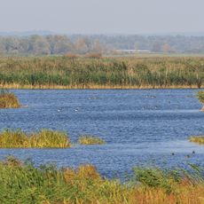
Ujście Warty National Park
5.2 km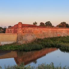
Kostrzyn nad Odrą Fortress
2.6 km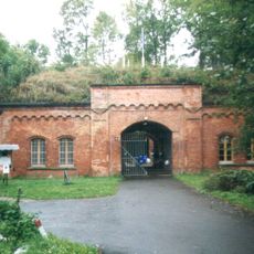
Fort Gorgast
8.5 km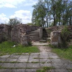
Kostrzyn nad Odrą Castle
2.5 km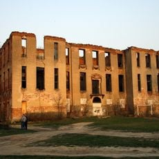
Joannites Castle in Słońsk
10.6 km
Tamsel
4.3 km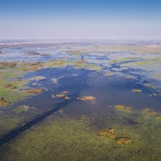
Słońsk
5 km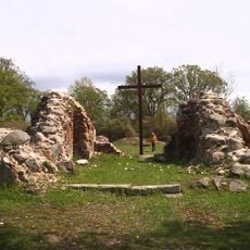
Ruins of Saint Mary Church in Kostrzyn nad Odrą
2.4 km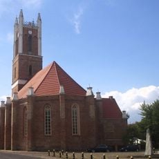
Our Lady of Częstochowa church in Słońsk
10.4 km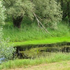
Oderinsel Küstrin-Kietz
3.5 km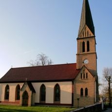
Church of the Assumption in Sarbinowo
6.9 km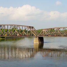
Kostrzyn-Kietz railway border crossing
2.8 km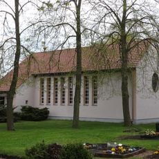
Village church Gorgast
8.1 km
Kościół Najświętszej Maryi Panny Matki Kościoła w Kostrzynie nad Odrą
1.1 km
Our Lady of the Scapular church in Czarnowo
10.1 km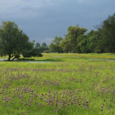
Oderaue Genschmar
8.6 km
Kościół Najświętszego Serca Pana Jezusa w Żabicach
9.9 km
Ośrodek Muzealno-Edukacyjny Parku Narodowego "Ujście Warty"
10.4 km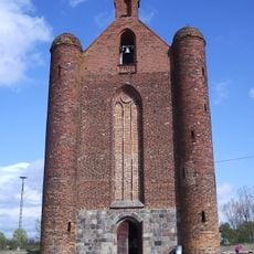
Saint Stanislaus Kostka church in Chwarszczany
10.2 km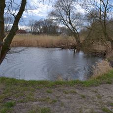
Mittlere Oderniederung
3.1 km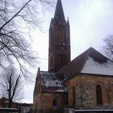
Saint Anthony church in Kamień Wielki
11 km
Oderaue Genschmar
8.8 km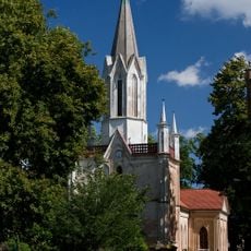
Saint Joseph church in Dąbroszyn
4.3 km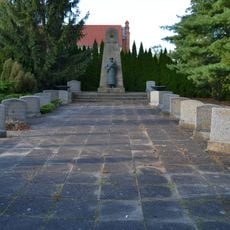
Sowjetischer Ehrenfriedhof in Manschnow
8.7 km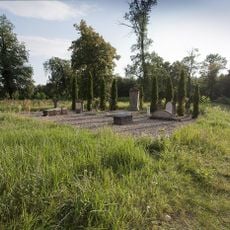
Cemetery in Słońsk
10.3 km
Basen miejski
1.3 km
Pałac w Dąbroszyniu
4.2 km
Park
4.2 kmReviews
Visited this place? Tap the stars to rate it and share your experience / photos with the community! Try now! You can cancel it anytime.
Discover hidden gems everywhere you go!
From secret cafés to breathtaking viewpoints, skip the crowded tourist spots and find places that match your style. Our app makes it easy with voice search, smart filtering, route optimization, and insider tips from travelers worldwide. Download now for the complete mobile experience.

A unique approach to discovering new places❞
— Le Figaro
All the places worth exploring❞
— France Info
A tailor-made excursion in just a few clicks❞
— 20 Minutes