
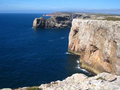
Cape St. Vincent, Rocky headland in Algarve, Portugal
Rising 75 meters above the Atlantic Ocean, Cape St. Vincent forms steep limestone cliffs along Portugal's southwestern coast, marking continental Europe's southwestern limit point.
The lighthouse at Cape St. Vincent began operations in 1846, replacing a small 1520 structure and underwent major renovations in 1897 to increase its range capabilities.
Ancient Greeks named this place Ophiussa, meaning Land of Serpents, while Romans designated it as Promontorium Sacrum, considering it the edge of their known world.
The cape features free parking facilities near the lighthouse, which contains a maritime museum and remains active under Portuguese Navy management.
Multiple naval battles occurred near Cape St. Vincent, including the 1797 engagement where Admiral John Jervis's English fleet defeated Spanish forces.
GPS coordinates: 37.02500,-8.99444
Latest update: May 27, 2025 07:15
The inland Algarve contains nature reserves, medieval castles, and Roman ruins. The region includes thermal springs in Monchique, the red sandstone castle of Silves, and the bone chapel in Faro. Natural parks like Ria Formosa host multiple bird species. Historical villages, coastal fortresses, and lighthouses mark the landscape.
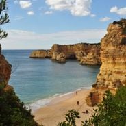
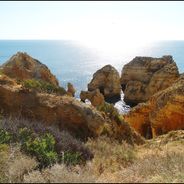
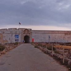
The Algarve region offers diverse photo opportunities from coastal formations to historical structures. The Benagil cave displays a natural ceiling opening, while Ponta da Piedade presents limestone cliffs by the Atlantic. The red sandstone Castle of Silves stands on a hill, and Capela dos Ossos shows architectural elements made of bones. The region includes beaches like Praia da Marinha with rock formations, and natural areas such as Ria Formosa with its water channels and wildlife. Historical sites include the Sagres Fortress and Roman ruins at Cerro da Villa.
Fortaleza de Sagres
4.9 km
E9 European long distance path
2494.7 km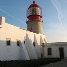
Cabo de São Vicente Lighthouse
290 m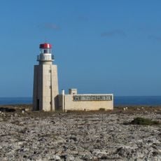
Ponta de Sagres Lighthouse
5.3 km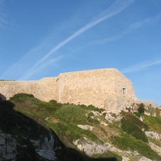
Fort of Santo António de Belixe
1.1 km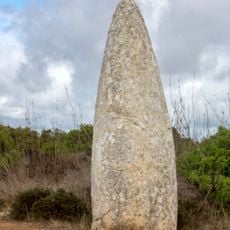
Conjunto de menires de Milrei e do Padrão
10.3 km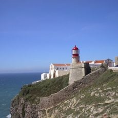
Fortaleza de São Vicente
262 m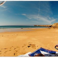
Praia do Martinhal
6.1 km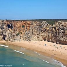
Praia do Beliche
2.7 km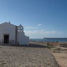
Igreja de Nossa Senhora da Graça (Sagres)
4.9 km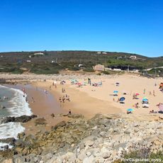
Praia da Ingrina
10.5 km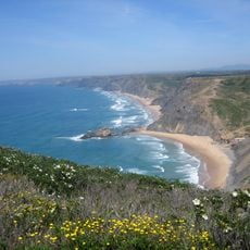
Torre de Aspa
7.7 km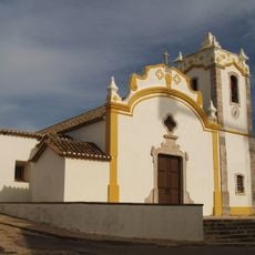
Igreja matriz de Vila do Bispo
9.9 km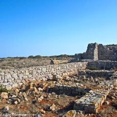
Forte de Nossa Senhora da Guia
6.4 km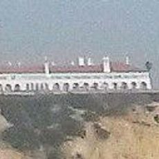
Pousada de São Vicente
5.8 km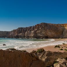
Praia do Tonel
4.7 km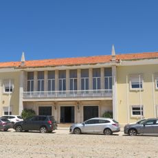
Câmara Municipal de Vila do Bispo
9.6 km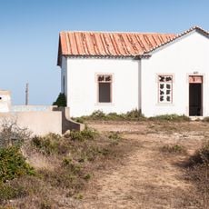
Posto da Guarda Fiscal, GF, de Torre de Aspa
8.7 km
Conjunto de menires de Vila do Bispo (Pedra Escorregadia; Casa do Francês; Amantes I; Amantes II; Cerro do Camacho)
8 km
Hotel da Baleeira
5.8 km
Posto da Guarda Fiscal, GF, de Zavial
10.4 km
Menires do Cerro do Camacho
8.2 km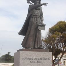
Estátua do Infante D. Henrique
5.2 km
Praia da Baleeira (lapyahan, lat 37,01, long -8,93)
5.9 km
Beach Castelejo
9.4 km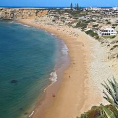
Praia da Mareta
5.3 km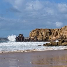
Praia do Tonel (lapyahan sa Distrito de Faro)
4.6 km
Praia dos Rebolinhos
6.6 kmReviews
Visited this place? Tap the stars to rate it and share your experience / photos with the community! Try now! You can cancel it anytime.
Discover hidden gems everywhere you go!
From secret cafés to breathtaking viewpoints, skip the crowded tourist spots and find places that match your style. Our app makes it easy with voice search, smart filtering, route optimization, and insider tips from travelers worldwide. Download now for the complete mobile experience.

A unique approach to discovering new places❞
— Le Figaro
All the places worth exploring❞
— France Info
A tailor-made excursion in just a few clicks❞
— 20 Minutes