Cabo de São Vicente Lighthouse
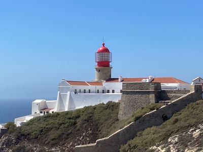
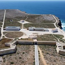
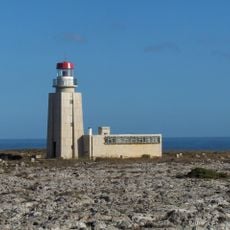
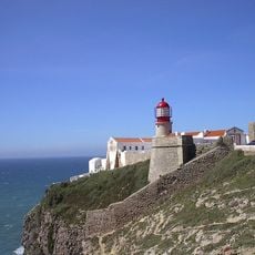
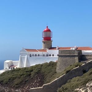
Cabo de São Vicente Lighthouse, Lighthouse at Sagres Point, Portugal
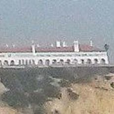
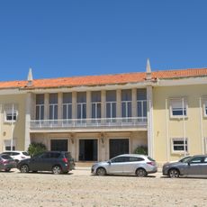
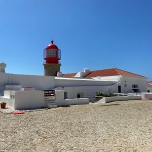
Cabo de São Vicente Lighthouse is a cylindrical stone tower standing 28 meters high with a lantern and gallery perched above a three-story keeper's building. The structure sits on steep coastal cliffs and overlooks one of the busiest shipping routes along the Iberian Peninsula.
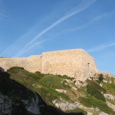
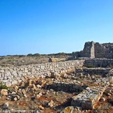
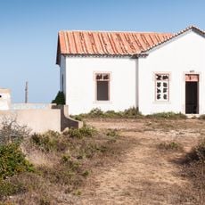
A basic lighthouse structure existed on the cape from 1520, and the current tower was built starting in 1846 on the ruins of a Franciscan monastery. This transition reflects how the site shifted from religious to maritime purposes.
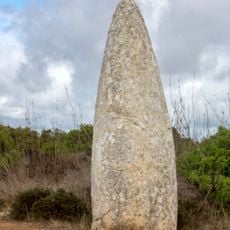
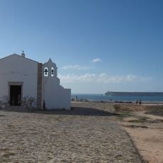
The lighthouse takes its name from Saint Vincent of Saragossa, and this religious connection shaped the site's development over centuries. You can still see traces of this spiritual heritage in the structures and layout around the tower.
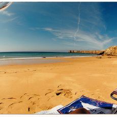
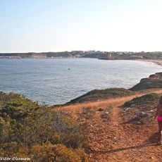
Access is on foot via a well-marked path, and the view from the gallery is best on clear days. Expect strong winds and wear proper footwear, as the paths are rough and the cliffs are exposed.
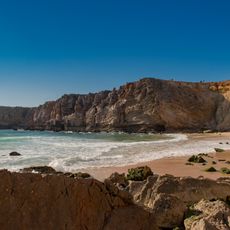
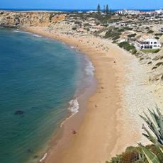
The lighthouse was built at a geographically extreme point where two ocean currents meet, making navigation particularly challenging in these waters. This strategic location makes it one of the most important navigation points for ships rounding Europe's southwestern corner.
Location: Sagres
Inception: 1846
Height: 28 m
Made from material: stone
Part of: Fortaleza de São Vicente
GPS coordinates: 37.02292,-8.99640
Latest update: December 10, 2025 16:25
Fortaleza de Sagres
4.9 km
E9 European long distance path
290 m
Praia do Beliche
2.9 km
Escalos de Cima e Lousa
5.2 km
Fort of Santo António de Belixe
1.3 km
Conjunto de menires de Milrei e do Padrão
10.6 km
Fortaleza de São Vicente
30 m
Praia do Martinhal
6.2 km
Igreja de Nossa Senhora da Graça (Sagres)
4.9 km
Praia da Ingrina
10.8 km
Torre de Aspa
8 km
Praia da Cordoama
10.9 km
Igreja matriz de Vila do Bispo
10.2 km
Forte de Nossa Senhora da Guia
6.5 km
Pousada de São Vicente
5.9 km
Praia do Tonel
4.7 km
Câmara Municipal de Vila do Bispo
9.9 km
Posto da Guarda Fiscal, GF, de Torre de Aspa
9 km
Conjunto de menires de Vila do Bispo (Pedra Escorregadia; Casa do Francês; Amantes I; Amantes II; Cerro do Camacho)
8.3 km
Hotel da Baleeira
5.9 km
Posto da Guarda Fiscal, GF, de Zavial
10.7 km
Menires do Cerro do Camacho
8.5 km
Estátua do Infante D. Henrique
5.2 km
Praia da Baleeira (lapyahan, lat 37,01, long -8,93)
6 km
Beach Castelejo
9.7 km
Praia da Mareta
5.4 km
Praia do Tonel (lapyahan sa Distrito de Faro)
4.7 km
Praia dos Rebolinhos
6.8 kmVisited this place? Tap the stars to rate it and share your experience / photos with the community! Try now! You can cancel it anytime.
Discover hidden gems everywhere you go!
From secret cafés to breathtaking viewpoints, skip the crowded tourist spots and find places that match your style. Our app makes it easy with voice search, smart filtering, route optimization, and insider tips from travelers worldwide. Download now for the complete mobile experience.
A unique approach to discovering new places❞
— Le Figaro
All the places worth exploring❞
— France Info
A tailor-made excursion in just a few clicks❞
— 20 Minutes