Fortaleza de Sagres, Military fortress at Sagres Point, Portugal
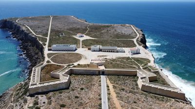
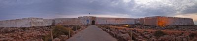
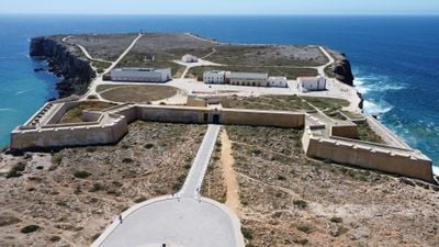
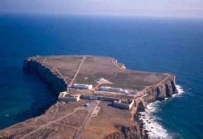
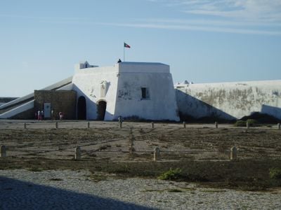
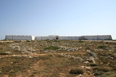
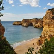
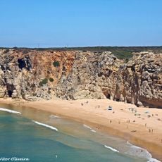
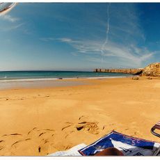
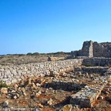
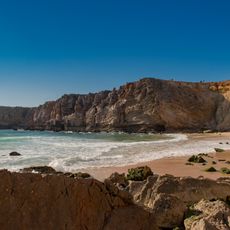
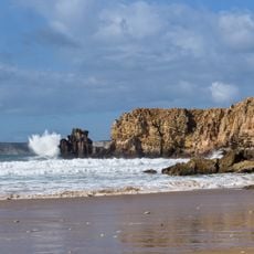
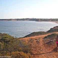
The Fortress of Sagres is a military fortification on a headland in southwestern Portugal, near the Algarve coast. High stone walls separate the narrow strip of land from the mainland and three sides drop away in steep cliffs overlooking the ocean.
Prince Henry the Navigator had this outpost built in the 15th century to protect the harbor and coordinate expeditions along the African coast. Later rulers reinforced the walls after pirate raids and the 1755 earthquake damaged parts of the structure.
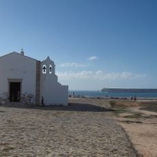
The name Sagres comes from the Latin word for sacred, as this headland was considered a holy place in ancient times. The chapel inside the walls and its simple stone facades recall the religious rituals Portuguese sailors observed before long voyages.
The site is open year-round, with longer hours during summer months than in winter. Wind can blow strongly across the exposed headland, so warm clothing is advisable even on sunny days.
A large circular stone rose in the courtyard once served Portuguese sailors as a navigation instrument and remains visible today. Its exact function is still debated, but many scholars believe it was a wind measuring system for planning sailing routes.
The community of curious travelers
AroundUs brings together thousands of curated places, local tips, and hidden gems, enriched daily by 60,000 contributors worldwide.