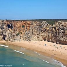
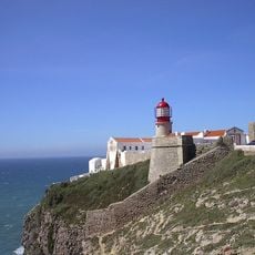
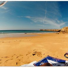
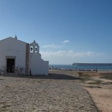
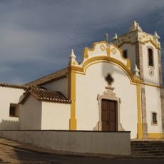
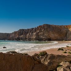
Praia da Mareta, Beach in Sagres, Portugal.
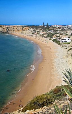
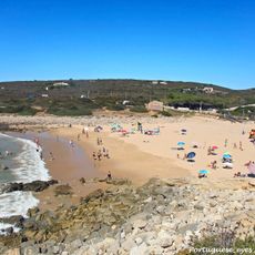
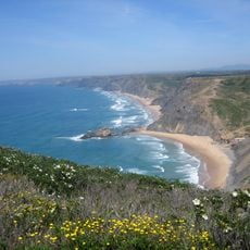
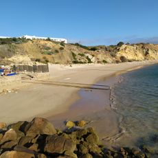
Praia da Mareta is a beach in Sagres featuring an 800-meter sandy shoreline nestled between limestone cliffs, with Cape St. Vincent visible at the western end. Multiple wooden walkways connect the town to various points along the sand, and facilities including restrooms, parking, and lifeguard stations are spread across the area during summer.
The beach is located near where Portuguese maritime explorers trained and prepared for ocean voyages during the 15th century. This proximity to a center of navigation and seamanship shaped the bay's role in the Age of Exploration.
Local fishermen use this beach as a working harbor where they launch boats and land their daily catch for nearby restaurants. The visible fishing activity, with boats and nets along the shore, keeps maritime traditions alive in the daily rhythm of the place.
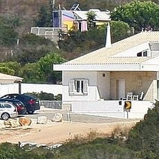
The beach is easily accessible from Sagres town via wooden walkways, with parking and restroom facilities available on-site. Lifeguards are stationed here during summer months, making it a safe choice for swimming and water activities.
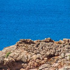
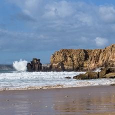
Natural caves within the limestone formations create underwater passages that attract diving expeditions and offer opportunities for observing marine life. These geological features make the location a draw for underwater exploration and wildlife watching.
Location: Sagres
GPS coordinates: 37.00539,-8.93956
Latest update: December 15, 2025 13:24
Fortaleza de Sagres
934 m
E9 European long distance path
5.3 km
Cabo de São Vicente Lighthouse
5.4 km
Praia do Beliche
3.1 km
Escalos de Cima e Lousa
1.5 km
Fort of Santo António de Belixe
4.5 km
Conjunto de menires de Milrei e do Padrão
7.8 km
Fortaleza de São Vicente
5.4 km
Praia do Martinhal
1.9 km
Zavial Battery
7.2 km
Menir de Aspradantes
10 km
Igreja de Nossa Senhora da Graça (Sagres)
911 m
Praia da Ingrina
7.1 km
Torre de Aspa
9 km
Igreja matriz de Vila do Bispo
9 km
Forte de Nossa Senhora da Guia
1.2 km
Pousada de São Vicente
501 m
Praia do Tonel
748 m
Igreja da Raposeira
9.7 km
Câmara Municipal de Vila do Bispo
8.9 km
Posto da Guarda Fiscal, GF, de Torre de Aspa
10 km
Conjunto de menires de Vila do Bispo (Pedra Escorregadia; Casa do Francês; Amantes I; Amantes II; Cerro do Camacho)
6.7 km
Hotel da Baleeira
908 m
Posto da Guarda Fiscal, GF, de Zavial
7.1 km
Menires do Cerro do Camacho
6.8 km
Estátua do Infante D. Henrique
248 m
Praia da Baleeira (lapyahan, lat 37,01, long -8,93)
1 km
Praia do Tonel (lapyahan sa Distrito de Faro)
791 mVisited this place? Tap the stars to rate it and share your experience / photos with the community! Try now! You can cancel it anytime.
Discover hidden gems everywhere you go!
From secret cafés to breathtaking viewpoints, skip the crowded tourist spots and find places that match your style. Our app makes it easy with voice search, smart filtering, route optimization, and insider tips from travelers worldwide. Download now for the complete mobile experience.
A unique approach to discovering new places❞
— Le Figaro
All the places worth exploring❞
— France Info
A tailor-made excursion in just a few clicks❞
— 20 Minutes