Vila Franca de Xira, Municipality with river views in Lisbon metropolitan area, Portugal
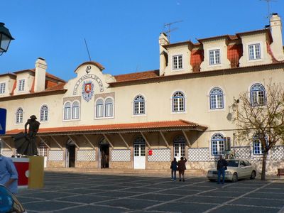
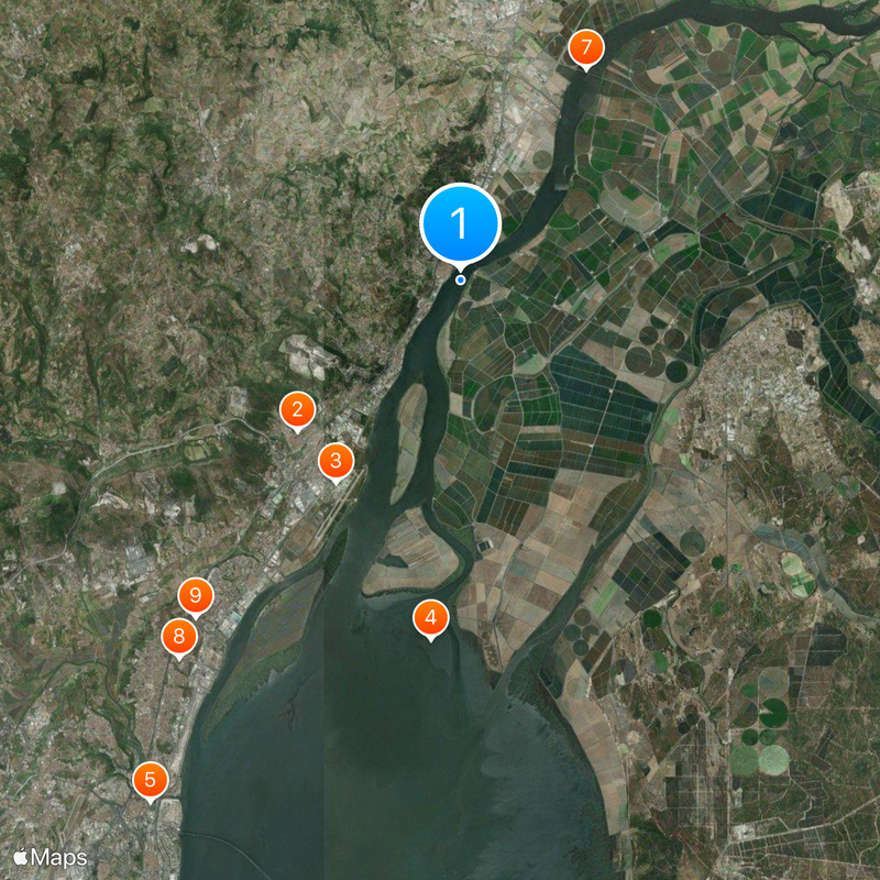
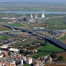
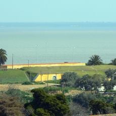
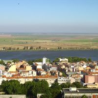
Vila Franca de Xira is a municipality that stretches across both banks of the Tagus River, located northeast of Lisbon in the metropolitan area. The territory encompasses diverse landscapes and is connected by the Marechal Carmona Bridge, which links different sections of the city.
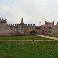
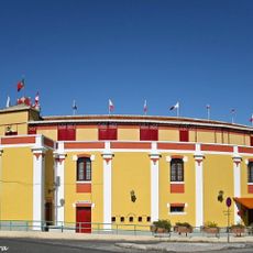
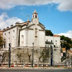
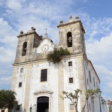
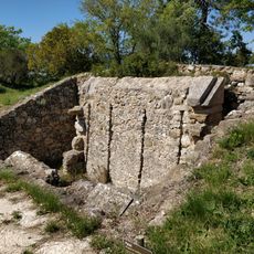
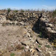
The settlement was founded around 1200 under the reign of King Afonso Henriques and marks the beginning of its recorded history. Its location on the river made it an important crossing point that shaped the region's development over the centuries.
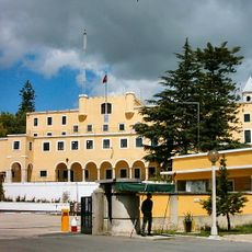
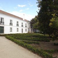
The Neo-Realism Museum displays works from this important artistic movement in a building designed by Portuguese architect Alcino Soutinho. The space serves as a center for exploring how this art form shaped cultural expression in the region.
The area is easily accessible via the Marechal Carmona Bridge, which connects Lisbon to Santarém and provides good access from outside the region. The best time to explore is during the day when museums and local facilities are open and the city's infrastructure is fully active.
The municipal territory is home to the Lezíria Grande Equestrian Centre, where visitors can watch demonstrations showcasing the skills of Portuguese Lusitano horses. This horse breed is known for its grace and training ability, making it a local distinction.
Location: Lisbon
Location: Lisbon metropolitan area
Shares border with: Azambuja, Alenquer, Arruda dos Vinhos, Loures, Benavente
Phone: +351263285600
Email: lojadomunicipe@cm-vfxira.pt
Website: https://cm-vfxira.pt
GPS coordinates: 38.95000,-8.98333
Latest update: December 6, 2025 22:07
Alverca do Ribatejo
7.4 km
OGMA - Indústria Aeronáutica de Portugal
7.9 km
Tagus Estuary Natural Reserve
12 km
Fábrica de Loiça de Sacavém
20.2 km
Ponte Marechal Carmona
790 m
Lezíria Bridge
8.2 km
Castelo de Pirescoxe
15.7 km
Cave of Pedra Furada
1.8 km
Alhandra, São João dos Montes e Calhandriz
6 km
Ceramics Museum of Sacavém
20.2 km
Casa da Quinta de São José
20.6 km
Fort of Sacavém
20 km
Puente de Sacavém
20 km
Palha Blanco Bullring
650 m
Fort of Casa
10.5 km
Antigo Convento de Nossa Senhora dos Mártires e da Conceição
20.1 km
Church of Nossa Senhora da Purificação
20.1 km
Forte do Cego
9.1 km
Museu do Neo-Realismo
756 m
Igreja de Nossa Senhora da Salvação (Arruda dos Vinhos)
8.9 km
Church of Nossa Senhora da Oliveira (Benavente)
9.8 km
Forte Primeiro da Subserra
4.4 km
Fort of Arpim
9.5 km
Hermitage of Nossa Senhora de Alcamé
4.9 km
Fort of Carvalha
10.7 km
Casa do Dr. Sousa Martins
3.3 km
Chafariz de Arruda dos Vinhos
9 km
Sacavém Ceramic Museum
20.2 kmReviews
Visited this place? Tap the stars to rate it and share your experience / photos with the community! Try now! You can cancel it anytime.
Discover hidden gems everywhere you go!
From secret cafés to breathtaking viewpoints, skip the crowded tourist spots and find places that match your style. Our app makes it easy with voice search, smart filtering, route optimization, and insider tips from travelers worldwide. Download now for the complete mobile experience.
A unique approach to discovering new places❞
— Le Figaro
All the places worth exploring❞
— France Info
A tailor-made excursion in just a few clicks❞
— 20 Minutes