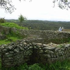
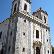
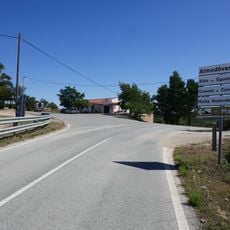
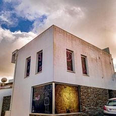
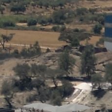
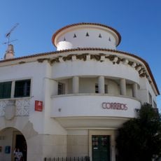
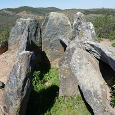
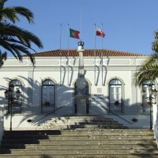
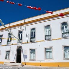
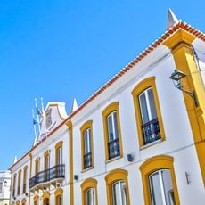
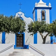
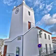
Almodôvar, municipality of Beja, Portugal
Location: Beja
Location: Baixo Alentejo Subregion
Elevation above the sea: 286 m
Shares border with: Ourique, Silves, Loulé, Alcoutim, Mértola, Castro Verde
Website: http://cm-almodovar.pt
GPS coordinates: 37.51139,-8.06028
Latest update: March 12, 2025 21:57
Neves-Corvo mine
10.4 km
Povoado das Mesas do Castelinho
6.5 km
Castle of Salir
29.9 km
Castro de Cola
22.5 km
Basílica Real de Castro Verde
20.8 km
Alto do Malhão
23.8 km
Rocha da Pena
28.8 km
Museu da Escrita do Sudoeste
118 m
Casa Dona Maria
20.9 km
Castelo de Ourique
21.6 km
Museu da Lucerna
20.7 km
Igreja de Nossa Senhora da Assunção, matriz de Alte
32.3 km
Igreja de Nossa Senhora dos Remédios
21 km
Ponte antiga sobre a ribeira de Cobres
471 m
Padrão Comemorativo da Batalha de Ourique
20.9 km
Moinho de Vento em Castro Verde
20.7 km
Castelinho dos Mouros
10 km
CTT de Castro Verde
21 km
Cerro das Pedras Altas
24.2 km
Mercado Municipal de Castro Verde
21 km
Câmara Municipal de Castro Verde
20.9 km
Igreja Matriz de Ameixial
18.6 km
Igreja Matriz de Salir
30.1 km
Igreja de Santa Cruz
15.2 km
Câmara Municipal de Ourique
21.5 km
Câmara Municipal de Almodôvar
52 m
Igreja Paroquial de Gomes Aires
10.3 km
Torre do Relógio de Almodôvar
121 mReviews
Visited this place? Tap the stars to rate it and share your experience / photos with the community! Try now! You can cancel it anytime.
Discover hidden gems everywhere you go!
From secret cafés to breathtaking viewpoints, skip the crowded tourist spots and find places that match your style. Our app makes it easy with voice search, smart filtering, route optimization, and insider tips from travelers worldwide. Download now for the complete mobile experience.
A unique approach to discovering new places❞
— Le Figaro
All the places worth exploring❞
— France Info
A tailor-made excursion in just a few clicks❞
— 20 Minutes