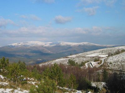
Serra do Marão, Mountain range in Trás-os-Montes e Alto Douro, Portugal.
Serra do Marão is a mountain range in Trás-os-Montes e Alto Douro with multiple peaks and rocky terrain. The massif divides several valleys and features mixed woodland and open grassland along its slopes.
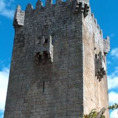
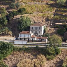
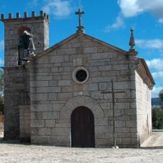
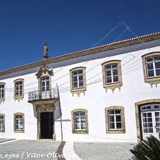
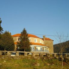
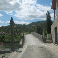
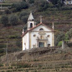
The mountain range drew human settlement for thousands of years, with communities establishing themselves in the surrounding valleys and lower slopes. Its location shaped regional trade routes and the movement of people across the landscape.
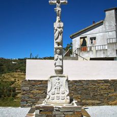
Local communities maintain traditional festivals celebrating harvests throughout the year, incorporating regional music and dance performances near the mountain slopes.
Several marked trails wind through the massif, starting from different towns and villages in the region. Walking is best in spring through autumn when paths are dry and weather conditions are generally stable.
The name refers to male goats that inhabit the steep rocky cliffs. These wild animals remain part of the local wildlife and add to the character of the landscape.
Location: Trás-os-Montes e Alto Douro
Elevation above the sea: 1,415 m
Website: http://valentim.org/cume/3
GPS coordinates: 41.24846,-7.88698
Latest update: December 7, 2025 20:24
Marão Tunnel
3.1 km
Santuário de Panóias
8.4 km
Vila Real Bridge
11.9 km
Anta da Aboboreira
11.3 km
Torre de Quintela
10.4 km
Solar da Rede
9.9 km
Megalithic site of Meninas do Crasto
12.4 km
Caldas de Moledo
11.4 km
Igreja Velha de Gondar
12.2 km
Pillory of Santa Marta de Penaguião
9.4 km
Pelourinho de Mesão Frio
9.7 km
Pillory of Rua
7.1 km
Ponte de Ermelo sobre o Rio Olo
11.7 km
Igreja Paroquial de Vila Marim
11.5 km
Câmara Municipal de Santa Marta de Penaguião
9.3 km
Capela de São Silvestre (Mesão Frio)
11.1 km
Igreja Paroquial de Teixeira
7 km
Câmara Municipal de Mesão Frio
10 km
Árvore isolada em Rotunda da EN 2 com a EN 15, no Nó de Parada de Cunhos do IP4
11.4 km
Hospital da Misericórdia de Mesão Frio
10.2 km
Pousada de São Gonçalo
4.8 km
Pelourinho de Ovelha
9.6 km
Casa do Vale do Couto
9.7 km
Capela de São Caetano
8.3 km
Ribeira de Elos
7.8 km
Ponte de Fundo de Rua
9.6 km
Cruzeiro do Senhor dos Aflitos (Santa Marta de Penaguião)
7.8 km
Capela de Nossa Senhora dos Remédios
7.1 kmVisited this place? Tap the stars to rate it and share your experience / photos with the community! Try now! You can cancel it anytime.
Discover hidden gems everywhere you go!
From secret cafés to breathtaking viewpoints, skip the crowded tourist spots and find places that match your style. Our app makes it easy with voice search, smart filtering, route optimization, and insider tips from travelers worldwide. Download now for the complete mobile experience.
A unique approach to discovering new places❞
— Le Figaro
All the places worth exploring❞
— France Info
A tailor-made excursion in just a few clicks❞
— 20 Minutes