Trás-os-Montes e Alto Douro
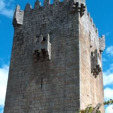
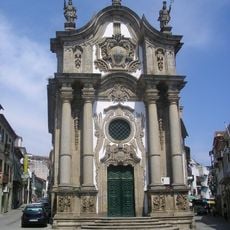
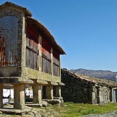
Trás-os-Montes e Alto Douro, Historic province in northern Portugal.
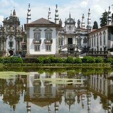
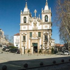
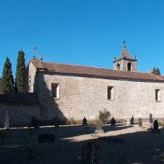
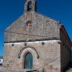
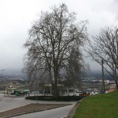
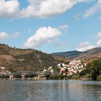
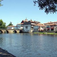
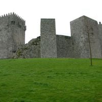
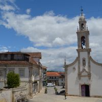
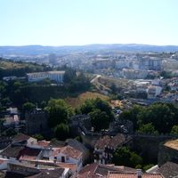
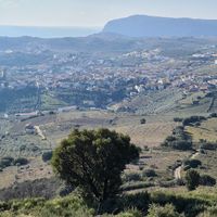
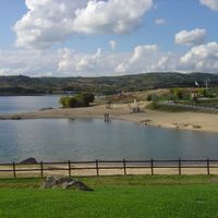
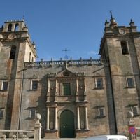
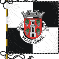
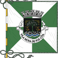
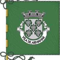
Trás-os-Montes e Alto Douro is a former region in northern Portugal that spans mountainous terrain between the Douro River valley and the Spanish border. The area includes diverse landscapes with vineyards, high plateaus, and deep valleys, divided across thirty-one municipalities in the districts of Vila Real and Bragança.
The region gained administrative recognition in 1936 as one of Portugal's historical areas, formed by merging the wine-producing Douro area with the mountainous territories of Trás-os-Montes. This unified an area with different economic traditions under a single administrative structure.
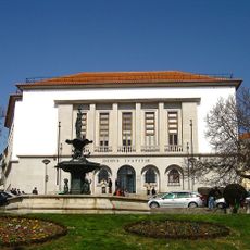
The University of Trás-os-Montes and Alto Douro, founded in Vila Real in 1986, shapes academic life in the region with research in agriculture and technology. It represents the region's connection between modern learning and local traditions.
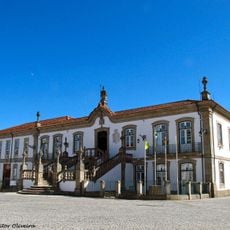
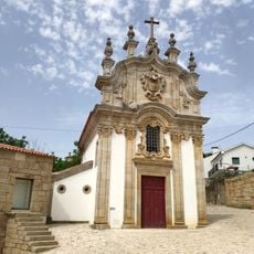
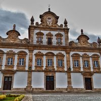
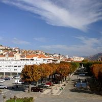
The area is divided between two district administrations, with Vila Real serving as the main administrative hub. From there, visitors can explore the region's varied landscapes and villages.
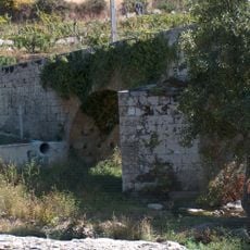
The Douro Valley in the southwestern part of the region is recognized worldwide for its terraced vineyards and is a UNESCO World Heritage site. This landscape displays centuries-old wine cultivation techniques on steep slopes.
Location: Portugal
Capital city: Vila Real
Operator: ICNF
Opening Hours: 24/7
Website: https://natura2000.eea.europa.eu/Natura2000/SDF.aspx?site=PTCON0004
GPS coordinates: 41.29547,-7.74626
Latest update: December 18, 2025 11:41
Mateus Palace
2.8 km
Santuário de Panóias
4.6 km
Vila Real Bridge
2 km
Cathedral of Vila Real
96 m
Torre de Quintela
2.9 km
São Pedro
906 m
Casa de Diogo Cão
53 m
Adoufe e Vilarinho de Samardã
8.5 km
Igreja de São Paulo (Vila Real)
269 m
Igreja de São Pedro
470 m
Pelourinho de Vila Real
89 m
Capela de São Brás (Vila Real)
416 m
Igreja de Nossa Senhora de Guadalupe, Mouçós
3.8 km
Ponte de Piscais
3.2 km
Pelourinho de Galegos
6.8 km
Pelourinho de Lordelo
3 km
Igreja Paroquial de Vila Marim
2.9 km
Câmara Municipal de Vila Real
130 m
Igreja Paroquial de Nossa Senhora da Conceição
1.2 km
Igreja de Constantim
3.5 km
Igreja do Salvador (Mouçós)
4.7 km
Capela da Santa Casa da Misericórdia de Vila Real
95 m
Árvore isolada em Rotunda da EN 2 com a EN 15, no Nó de Parada de Cunhos do IP4
1.7 km
Capela de Arroios
3.5 km
Ribeira de Elos
8.3 km
Juízo de Família e Menores de Vila Real
274 m
Jardins do Solar de Mateus
2.9 km
Cruzeiro do Senhor dos Aflitos (Santa Marta de Penaguião)
9.1 kmVisited this place? Tap the stars to rate it and share your experience / photos with the community! Try now! You can cancel it anytime.
Alijó
Boticas
Chaves
Mesão Frio
Mondim de Basto
Montalegre
Murça
Peso da Régua
Ribeira de Pena
Sabrosa
Santa Marta de Penaguião
Valpaços
Vila Pouca de Aguiar
Vila Real
Alfândega da Fé
Bragança
Carrazeda de Ansiães
Freixo de Espada à Cinta
Macedo de Cavaleiros
Miranda do Douro
Mirandela
Mogadouro
Torre de Moncorvo
Vila Flor
Vimioso
Vinhais
Vila Nova de Foz Côa
Armamar
Lamego
São João da Pesqueira
Tabuaço
Discover hidden gems everywhere you go!
From secret cafés to breathtaking viewpoints, skip the crowded tourist spots and find places that match your style. Our app makes it easy with voice search, smart filtering, route optimization, and insider tips from travelers worldwide. Download now for the complete mobile experience.
A unique approach to discovering new places❞
— Le Figaro
All the places worth exploring❞
— France Info
A tailor-made excursion in just a few clicks❞
— 20 Minutes