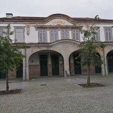
Chaves, Administrative municipality in Vila Real, Portugal
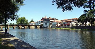
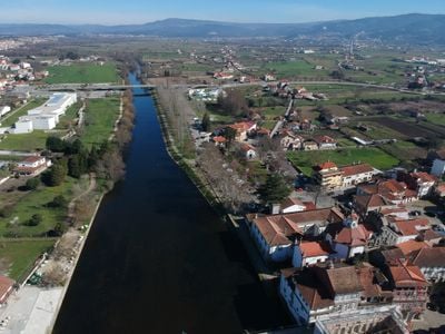
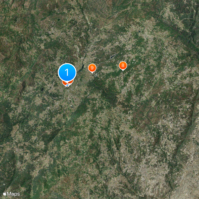
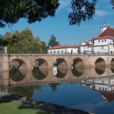
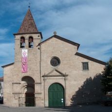
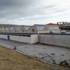
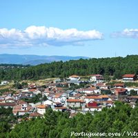
Chaves is a municipality near the Spanish border in mountainous terrain crossed by the Tâmega River. The area spreads across several smaller towns and villages that together form a mostly rural landscape.
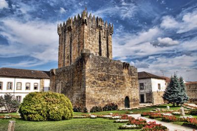
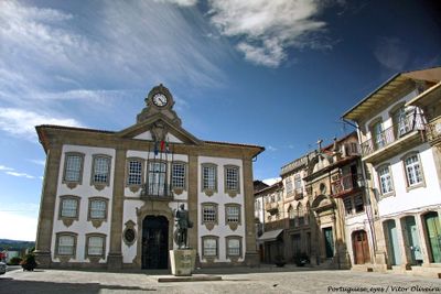
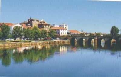
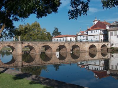
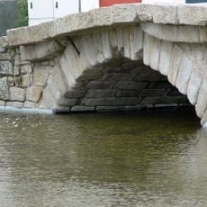
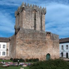
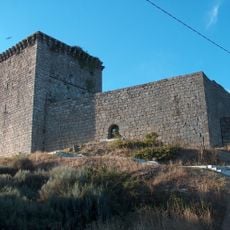
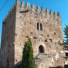
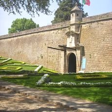
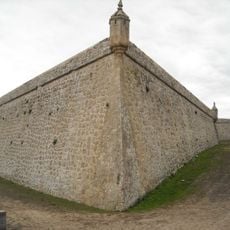
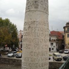
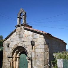
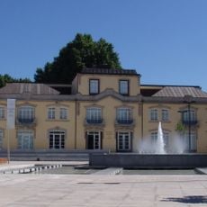
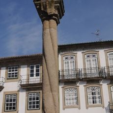
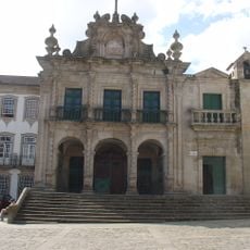
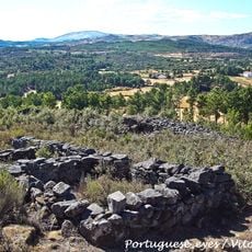
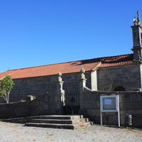
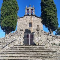
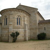
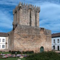
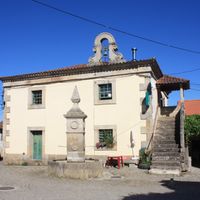
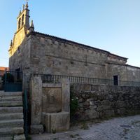
The place began as a Roman military settlement built around natural thermal springs, which gave it strategic importance. Over the centuries it remained a key crossroads in the region and developed the layout you see today.
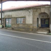
The town carries on local traditions through its everyday food culture and craft practices, visible in regional wine celebrations and the making of smoked meats. You can experience these living traditions when you walk through markets and local shops.
You can reach the town by highway or regular buses from neighboring areas, with good connections to larger cities. Taking time to visit the different parts of the municipality helps you understand its character better.
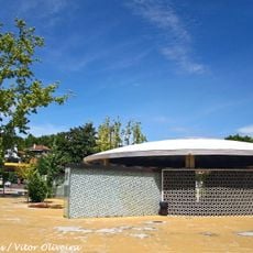
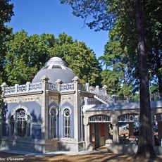
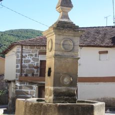
The town has thermal springs that have been known since ancient times and originally attracted the first settlement here. Some of these springs remain active and accessible today, linking the present to the site's origins.
Location: Vila Real
Inception: January 1, 1258
Shares border with: Boticas, Montalegre, Oímbra, Verín, Vilardevós, Vinhais, Valpaços, Vila Pouca de Aguiar
Email: municipio@chaves.pt
Website: https://chaves.pt
GPS coordinates: 41.73987,-7.47068
Latest update: December 14, 2025 19:34
Ponte de Trajano
300 m
Aquae Flaviae
170 m
Castle of Chaves
95 m
Estádio Municipal de Chaves
1.3 km
Caldas de Chaves
246 m
Museu de Arte Contemporânea Nadir Afonso
428 m
Castelo de Monforte de Rio Livre
9.9 km
Castle of Santo Estêvão
4.8 km
Forte de São Francisco
368 m
Forte de São Neutel
1.1 kmCastelo do Mau Vizinho ou dos Mouros
21.6 km
Igreja de Santa Maria Maior
29 m
Padrão dos Povos
354 m
Pontão de Possacos
22.1 km
Escola Industrial e Comercial de Chaves
600 m
Termas de Vidago
14.9 kmIgreja de São João Baptista
18 km
Granjinha Chapel
2.1 km
Museo Ferroviario de Chaves
590 m
Biblioteca Municipal de Chaves
197 m
Pelourinho de Chaves
2 m
Igreja da Misericórdia de Chaves
71 m
Igreja de Nossa Senhora da Azinheira
3.6 km
Igreja Paroquial de Friões
9.3 km
Castro da Curalha
5.9 kmBarragem de Abobeleira
2.5 km
Cruzeiro de Castelões
10.2 km
Pillory of Ervededo
8.5 kmVisited this place? Tap the stars to rate it and share your experience / photos with the community! Try now! You can cancel it anytime.
Bustelo
Planalto de Monforte (União das Freguesias de Oucidres e Bobadela)
Calvão e Soutelinho da Raia
Loivos e Póvoa de Agrações
Santa Cruz/Trindade e Sanjurge
Soutelo e Seara Velha
Santo Estêvão
Santa Leocádia
São Pedro de Agostém
Vilela Seca
Sanfins
Paradela
Redondelo
Santo António de Monforte
Tronco
Vidago
Nogueira da Montanha
Vilela do Tâmega
Vila Verde da Raia
Vilarelho da Raia
Faiões
Moreiras
Lama de Arcos
Anelhe
Águas Frias
Oura
Vilar de Nantes
Santa Maria Maior
Outeiro Seco
Vilas Boas
São Vicente
Vale de Anta
Ervededo
Cimo de Vila da Castanheira
Curalha
Mairos
Eiras, São Julião de Montenegro e Cela
Madalena e Samaiões
Travancas e Roriz
Discover hidden gems everywhere you go!
From secret cafés to breathtaking viewpoints, skip the crowded tourist spots and find places that match your style. Our app makes it easy with voice search, smart filtering, route optimization, and insider tips from travelers worldwide. Download now for the complete mobile experience.
A unique approach to discovering new places❞
— Le Figaro
All the places worth exploring❞
— France Info
A tailor-made excursion in just a few clicks❞
— 20 Minutes