Montalegre, municipality of Portugal
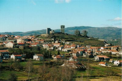
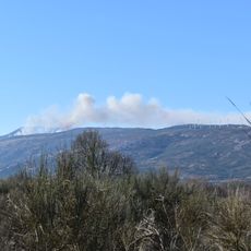
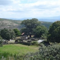
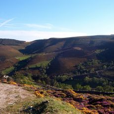
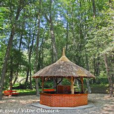
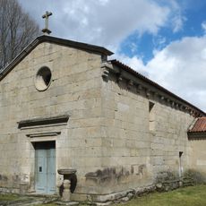
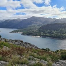
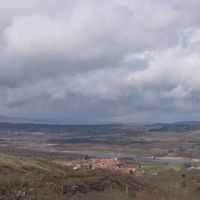
Montalegre is a municipality in the Alto Tâmega region of northern Portugal, covering an area of varied terrain and elevation. The territory includes multiple villages and settlements scattered across valleys and hillsides, creating a rural and green setting.
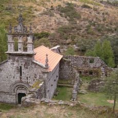
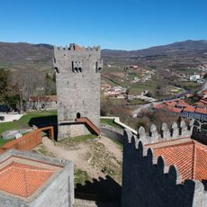
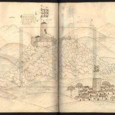
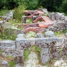
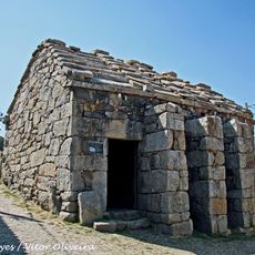
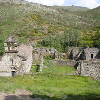
The area has a long history as a rural administrative territory with roots in medieval settlement patterns. Over centuries, the region maintained its rural character, with local administrative structures shaping the land and how people organized their lives here.
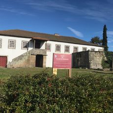
Montalegre is deeply connected to traditional crafts and skills passed down through generations in the daily life of residents. These practices shape the character of the municipality and remain visible in how locals work and create.
Visiting requires a car since the municipality consists of scattered villages that are not easily accessible on foot. The best time to explore is during warmer months when roads are dry and pathways become more accessible.
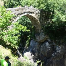
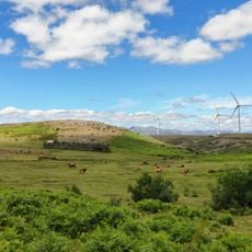
The area is known for its tradition of pastoral culture and herding routes that have been used for generations. These ancient pathways still connect different villages today and tell a story of people moving through the mountains.
Location: Vila Real
Location: Alto Tâmega Subregion
Inception: January 1, 1273
Shares border with: Boticas, Chaves, Oímbra, Monterrei, Cualedro, Baltar, Calvos de Randín, Muíños, Lobios, Terras de Bouro, Vieira do Minho, Cabeceiras de Basto
Website: https://cm-montalegre.pt
GPS coordinates: 41.81667,-7.78333
Latest update: December 20, 2025 14:35
Bridge of Mizarela
24 km
Larouco Mountain
8.8 km
Mosteiro de Santa Maria das Júnias
13.3 km
Baixa Limia - Serra do Xurés Natural Park
8.9 km
Serra da Cabreira
29.1 km
Barroso
23.3 km
Montalegre Castle
1.2 kmCastelo de Araúxo
25.1 km
Venda Nova Dam
22.5 km
Fecha de Barjas waterfall
29.9 km
Termas de Carvalhelhos
14.5 km
Salamonde Dam
29.1 km
Picoña Castle
10.9 km
Aquis Originis
27.2 kmCastle of São Ramão
10.9 kmCastro de San Millao
17.7 km
Paço de Vilar de Perdizes
13.1 km
Igreja de Santa Maria (Covas do Barroso)
20.5 km
Forno do Povo de Tourém
13.7 kmDolmen von Maus de Salas
14.3 kmIgreja Paroquial de Pitões das Júnias
14.2 km
Capela do Anjo da Guarda
13.7 km
Numismatic museum in Lobios
26.7 km
Pillory of Ruivães
26.8 kmCruzeiro de Covas do Barroso
20.2 kmPillory of Dornelas
20.3 kmCapela de Nossa Senhora da Saúde
20.2 km
Serra do Gerês
21.4 kmVisited this place? Tap the stars to rate it and share your experience / photos with the community! Try now! You can cancel it anytime.
Cambeses do Rio, Donões e Mourilhe
Meixedo e Padornelos
Sezelhe e Covelães
Paradela, Contim e Fiães
Montalegre e Padroso
Venda Nova e Pondras
Viade de Baixo e Fervidelas
Solveira
Vila da Ponte
Gralhas
Salto
Negrões
Santo André
Morgade
Outeiro
Sarraquinhos
Covelo do Gerês
Chã
Ferral
Tourém
Reigoso
Pitões das Junias
Cervos
Cabril
Vilar de Perdizes e Meixide
Discover hidden gems everywhere you go!
From secret cafés to breathtaking viewpoints, skip the crowded tourist spots and find places that match your style. Our app makes it easy with voice search, smart filtering, route optimization, and insider tips from travelers worldwide. Download now for the complete mobile experience.
A unique approach to discovering new places❞
— Le Figaro
All the places worth exploring❞
— France Info
A tailor-made excursion in just a few clicks❞
— 20 Minutes