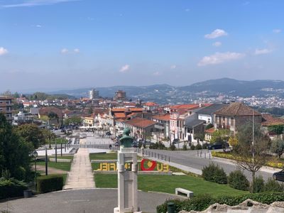
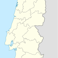
Penafiel, Municipality in Porto District, Portugal
Penafiel is a municipality in the Tâmega e Sousa region of Porto District, organized into numerous parishes spread across valleys and hills. The town functions as a local administrative center serving the surrounding communities.
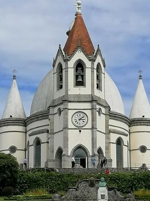
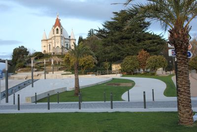
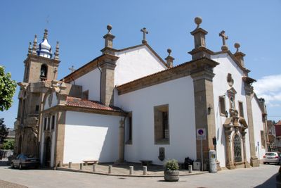
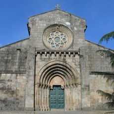
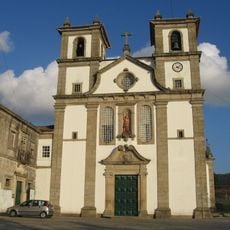
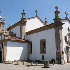
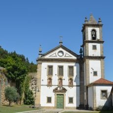
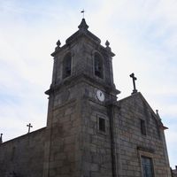
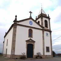
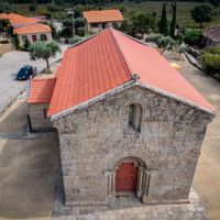
The town received its municipality charter from King Manuel I in 1519 and later gained religious independence when it became a separate diocese from Porto in 1770. These changes marked its growth as an important local center.
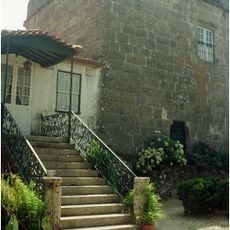
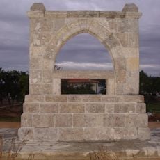
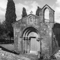
The region shows layers of ancient settlement through its archaeological remains scattered across the landscape. Walking through the area, you can sense how people have lived and worked here for thousands of years.
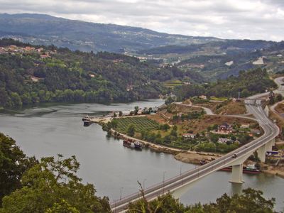
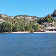
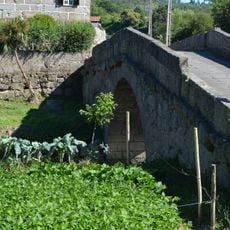
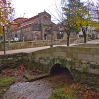
The town is accessible via the Douro railway line and has direct road connections to neighboring areas. Exploring the scattered parishes on foot or by car helps you see different parts of the region.
Natural hot springs with mineral-rich waters exist in the area and have been used for health purposes over time. Specialized facilities developed around these thermal resources to serve those seeking their therapeutic benefits.
Location: Porto
Inception: January 1, 1519
Elevation above the sea: 335 m
Shares border with: Amarante, Lousada, Paredes, Castelo de Paiva, Marco de Canaveses
Address: 4560 Penafiel, Portugal
Website: https://cm-penafiel.pt
GPS coordinates: 41.20000,-8.28333
Latest update: December 17, 2025 09:23
Paiva River
15.1 km
Magikland
285 m
Mosteiro do Salvador de Paço de Sousa
6.4 km
Castro de Monte Mozinho
6.4 km
Ilha dos Amores
15 km
Estádio Municipal 25 de Abril
1.4 km
Mosteiro de Cete
7.3 km
Estate of Barbosa
4 km
Praia Fluvial de Bitetos
14.4 km
Mosteiro de Bustelo
3.5 km
Anta de Santa Marta
2.6 km
Museu Municipal de Penafiel
746 m
Church of the Santa Casa da Misericórdia (Penafiel)
721 m
Santa Marta
2.3 km
Igreja de São Gens de Boelhe
8 km
Igreja de Vila Boa do Bispo
9.4 km
Menir de Luzim
6.6 kmMarmoiral da Boavista
17.5 km
Mosteiro de Alpendurada, incluindo a igreja e a sacristia
13.8 km
Igreja de Vila Boa de Quires
6.9 km
Igreja Românica de São Miguel de Eja
13.1 km
Ermida ou Capela da Senhora do Vale
6.1 km
Memorial da Ermida
5.2 km
Igreja de São Pedro (Abragão)
7 km
Igreja de Gândara
7.6 km
Ponte de Espindo
4.9 km
Mosteiro de Vila Boa do Bispo
9.3 km
Praia Fluvial
18.6 kmVisited this place? Tap the stars to rate it and share your experience / photos with the community! Try now! You can cancel it anytime.
Guilhufe e Urrô
Luzim e Vila Cova
Abragão
Sebolido
Recezinhos (São Mamede)
Rans
Recezinhos (São Martinho)
Castelões
Boelhe
Galegos
Croca
Irivo
Oldrões
Bustelo
Eja
Paço de Sousa
Duas Igrejas
Rio de Moinhos
Canelas
Perozelo
Fonte Arcada
Capela
Termas de São Vicente
Penafiel
Rio Mau
Lagares e Figueira
Cabeça Santa
Valpedre
Discover hidden gems everywhere you go!
From secret cafés to breathtaking viewpoints, skip the crowded tourist spots and find places that match your style. Our app makes it easy with voice search, smart filtering, route optimization, and insider tips from travelers worldwide. Download now for the complete mobile experience.
A unique approach to discovering new places❞
— Le Figaro
All the places worth exploring❞
— France Info
A tailor-made excursion in just a few clicks❞
— 20 Minutes