Abrantes

Log in to your account

AroundUs is a community-driven map of interesting places, built by curious explorers like you. It grows with every review, story, and photo you share.
Connect to save your favorite spots, contribute locations, and create personalized routes.
Continue with Google
Continue with Apple
Continue with X
Continue with Facebook
Continue with email
By continuing, you accept our Terms and Conditions and our Privacy Policy
Create an account
Add to collection
Map
Suggest a change
Share

Abrantes, Municipality and administrative center in Médio Tejo, Portugal

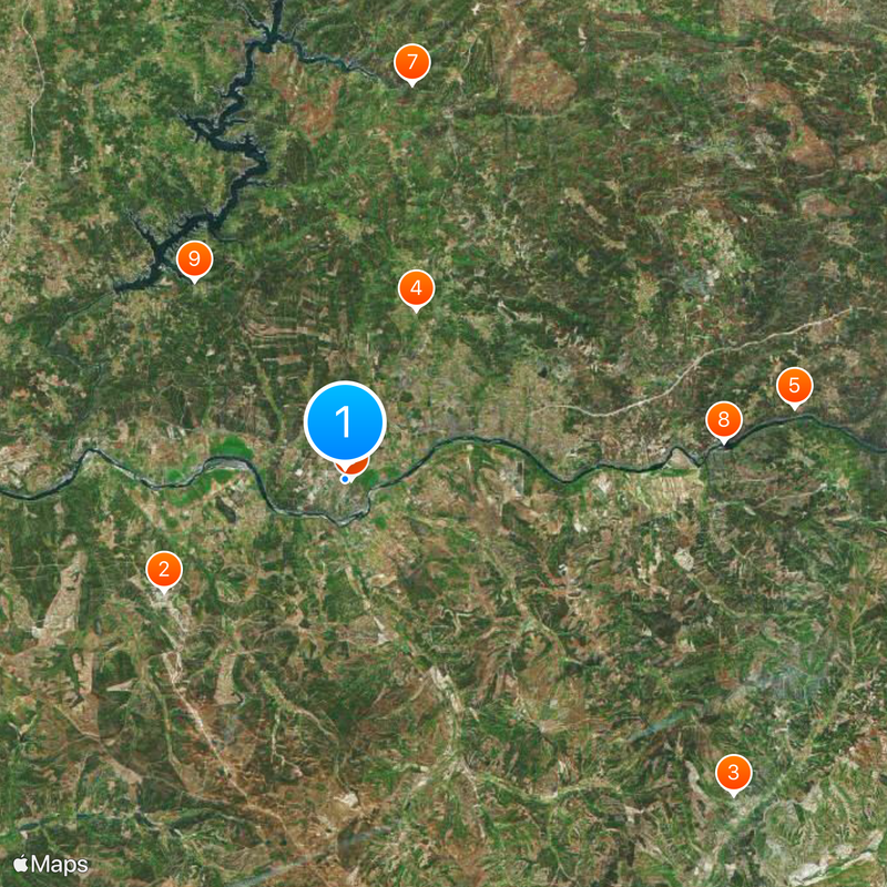
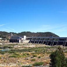
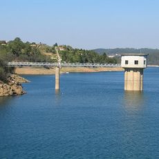
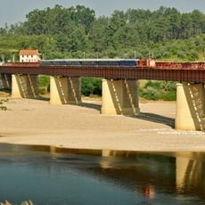
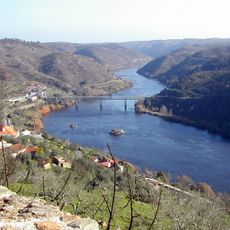
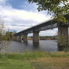
Abrantes is a municipality in the Médio Tejo region that stretches across 714 square kilometers and is divided by the Tagus River into northern and southern sections. The built-up area sits on the north bank and serves as the administrative center for around 39,000 people, with 13 civil parishes spread across the total territory.

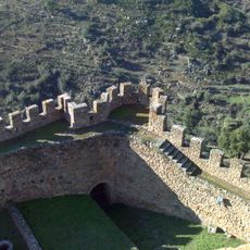
The area was freed from Moorish control in 1148 by King Afonso I and later developed as a military outpost. With the granting of its charter in 1179, it solidified its strategic role as an important control point in the region.

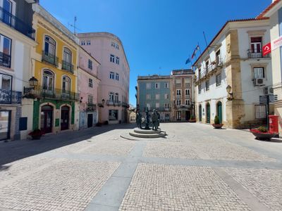
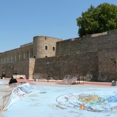
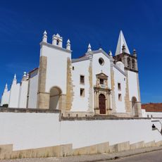
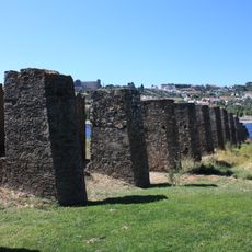
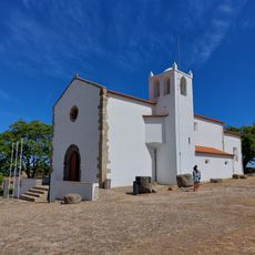
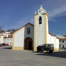
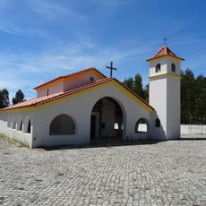
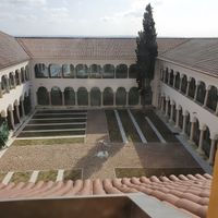
The town displays layers from different periods in its streets and buildings, from Roman structures to medieval fortifications. Visitors can sense this history through the architecture that shapes daily life.

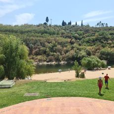
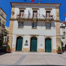
The town center lies on the northern riverbank and concentrates where most services are found. When exploring the area, it helps to start from the urban core, as the remaining territories are easily reached from there.

The name comes from the Latin word Aurantes, referring to gold deposits once found along the Tagus riverbanks. This ancient connection between the place and the precious metal still appears in local stories today.

Location: Santarém

Location: Médio Tejo Subregion

Inception: January 1, 1179

Elevation above the sea: 35 m

Shares border with: Constância, Chamusca, Ponte de Sor, Gavião, Mação, Sardoal, Vila de Rei, Tomar, Vila Nova da Barquinha

Website: https://cm-abrantes.pt

GPS coordinates: 39.46444,-8.19782

Latest update: December 20, 2025 01:07

Photos
Reviews

Visited this place? Tap the stars to rate it and share your experience / photos with the community! Try now! You can cancel it anytime.

« Abrantes - Municipality and administrative center in Médio Tejo, Portugal » is provided by Around Us (aroundus.com). Images and texts are derived from Wikimedia project under a Creative Commons license. You are allowed to copy, distribute, and modify copies of this page, under the conditions set by the license, as long as this note is clearly visible.

Discover hidden gems everywhere you go!

From secret cafés to breathtaking viewpoints, skip the crowded tourist spots and find places that match your style. Our app makes it easy with voice search, smart filtering, route optimization, and insider tips from travelers worldwide. Download now for the complete mobile experience.

Around Us App Screenshot

A unique approach to discovering new places

Le Figaro

All the places worth exploring

France Info

A tailor-made excursion in just a few clicks

20 Minutes