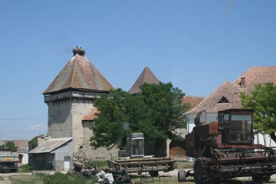
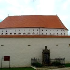
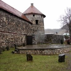
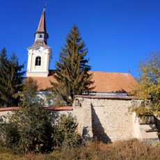
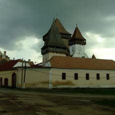
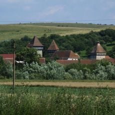
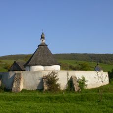
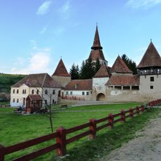
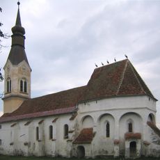
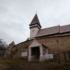
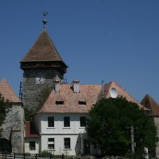
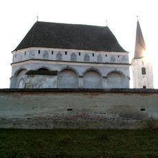
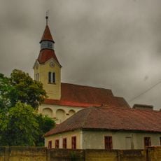
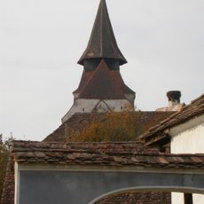
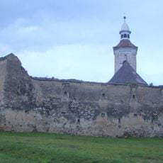
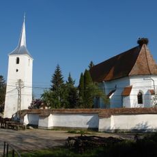
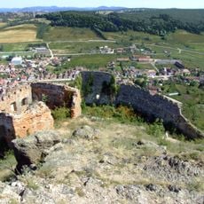
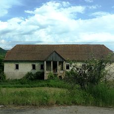
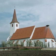
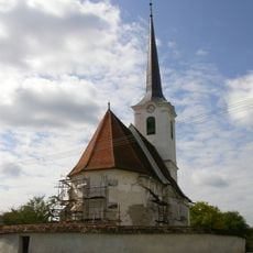
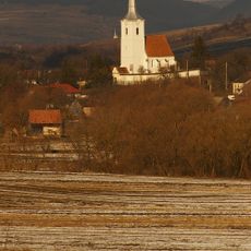
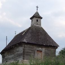
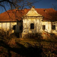
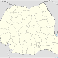
Cața, village in Brașov County, Romania
Location: Cața
Elevation above the sea: 464 m
GPS coordinates: 46.09023,25.28113
Latest update: March 6, 2025 03:20
Rupea Citadel
7.9 km
Dârjiu fortified church
14 km
Die Basaltsäulen von Racoș
13.2 km
Pădurea Bogății
12.9 km
Sükösd-Bethlen Castle
12.3 km
Liceul Teoretic „Tamási Áron”
23.6 km
Fortified church in Criț, Brașov
20.7 km
Fortified church in Homorod, Brașov
5.5 km
Fortified church in Cața
232 m
Roman Catholic chapel of the Heart of Jesus in Odorheiu Secuiesc
22 km
Lutheran church in Archita, Mureș
18.2 km
Fortified church in Dacia, Brașov
13.4 km
Fortified church in Meșendorf, Brașov
23.2 km
Fortified Lutheran church of Drăușeni
6.4 km
Lutheran church in Cloașterf, Mureș
22.9 km
Fortified church in Bunești, Brașov
17.3 km
Fortified church in Roadeș, Brașov
14 km
Fortified church in Mercheașa, Brașov
4.9 km
Biserica reformata din Lutita
19.4 km
Stânca bazaltică de la Rupea
7.9 km
Haller castle
21.2 km
Reformed church in Mugeni, Harghita
18.9 km
Székelydályai református templom
11.9 km
Homoródkarácsonyfalvi unitárius templom
15.2 km
Biserica de lemn din Cuciulata
16.6 km
Ugron-kúria
18.2 km
Racoșu de Sus
19.5 km
Elm tree from Căpeni
22.8 kmVisited this place? Tap the stars to rate it and share your experience / photos with the community! Try now! You can cancel it anytime.
Discover hidden gems everywhere you go!
From secret cafés to breathtaking viewpoints, skip the crowded tourist spots and find places that match your style. Our app makes it easy with voice search, smart filtering, route optimization, and insider tips from travelers worldwide. Download now for the complete mobile experience.
A unique approach to discovering new places❞
— Le Figaro
All the places worth exploring❞
— France Info
A tailor-made excursion in just a few clicks❞
— 20 Minutes