
Танкосин гроб
Location: Bajina Bašta Municipality
GPS coordinates: 43.89326,19.42664
Latest update: May 1, 2025 02:21
Tara national park
9.9 km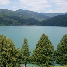
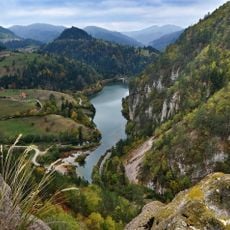
Perućac lake
8.1 km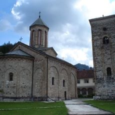
Rača monastery
10.1 km
Zaovine Lake
3.4 km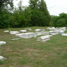
Mramorje
7.2 km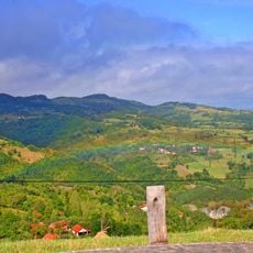
Zvijezda
11.6 km
Nature Park "Šargan– Mokra Gora"
9.4 km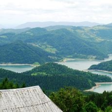
Предео изузетних одлика Заовине
4.7 km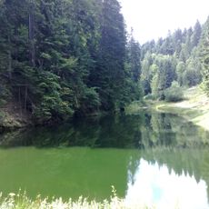
Λίμνη Γέρεβατς
8.2 km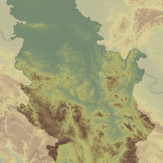
Ljuti breg
7.9 km
Pačin Kik
5.2 km
Crni Vrh
7.2 km
Golija
4.7 km
Kršanjska Glavica
7.3 km
Bukova Glava
3.6 km
Gavran
3.4 km
Čukara
2.7 km
Greben
1.7 km
Velika Glavica
5.7 km
Reljin Vrh
7 km
Veliki Vis
7.9 km
Bojište
7.7 km
Ovsjek
5.3 km
Lipovački Vrh
6.3 km
Runjeva Glavica
5 km
Čeprljevac
6.2 km
Pasak Vis
7.3 km
Suva Glavica
6.4 kmReviews
Visited this place? Tap the stars to rate it and share your experience / photos with the community! Try now! You can cancel it anytime.
Discover hidden gems everywhere you go!
From secret cafés to breathtaking viewpoints, skip the crowded tourist spots and find places that match your style. Our app makes it easy with voice search, smart filtering, route optimization, and insider tips from travelers worldwide. Download now for the complete mobile experience.

A unique approach to discovering new places❞
— Le Figaro
All the places worth exploring❞
— France Info
A tailor-made excursion in just a few clicks❞
— 20 Minutes