Zvijezda, Mountain range in central Bosnia and Herzegovina.
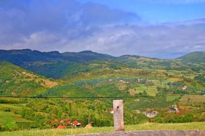
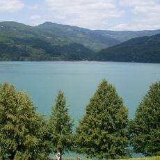
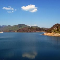
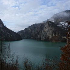
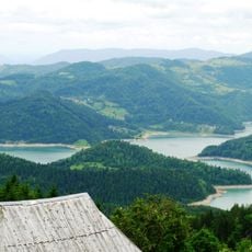
Zvijezda is a mountain range in central Bosnia and Herzegovina with steep slopes covered by beech and pine forests. The highest peaks rise above 1300 meters (4265 feet), and deep valleys separate the ridges.
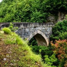
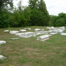
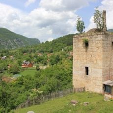
The mountain range formed a natural boundary between local powers for centuries. Over time, these strategic positions lost their military importance as regional politics changed.
Local herders bring livestock to graze on the meadows during warmer months. This seasonal practice shapes daily life in the surrounding villages.
Well-marked hiking trails wind through the forest at different difficulty levels toward the summits. Spring through autumn offers the most stable weather for walking these paths.
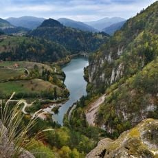
Underground waterways feed several natural springs that emerge at the mountain's base. Some of these water systems remain largely unexplored by scientists.
The community of curious travelers
AroundUs brings together thousands of curated places, local tips, and hidden gems, enriched daily by 60,000 contributors worldwide.