
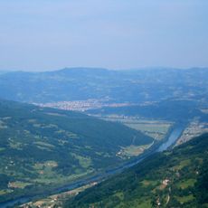
Rid, Berggipfel in Serbien
Location: Serbia
Elevation above the sea: 667 m
GPS coordinates: 44.31722,19.34972
Latest update: October 18, 2025 17:55
Podrinje
5.8 km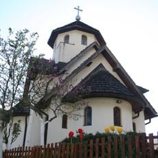
Manastir Soko
8.2 km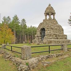
Memorial Ossuary Mačkov kamen
4.8 km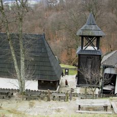
Church in Dobri Potok
6.4 km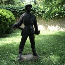
Stolice
9.4 km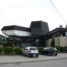
"Politika" Library
5.3 km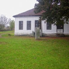
Ensemble mémoriel de Bela Crkva
13.4 km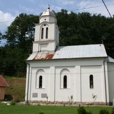
Crkva Sv. cara Lazara (Velika Reka)
10.7 km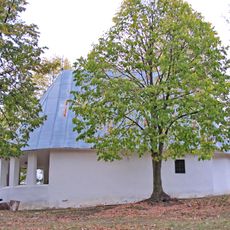
Crkva brvnara
2.8 km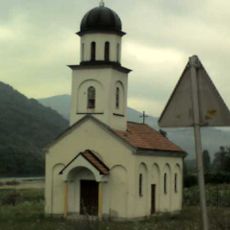
Kirche Hl. Sava
9.2 km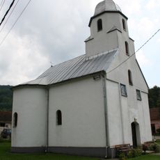
Crkva Svete Trojice
12.5 km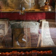
Library „Sv. Petka Paraskeva“ Krupanj
6.4 km
Rebelj
9.9 km
Oštrelj
11.5 km
Matića Brdo
13.3 km
Beleg
13.7 km
Orašac
7.7 km
Mioljača Brdo
10.2 km
Cerovačka Glava
10.1 km
Smajino Brdo
7.1 km
Visoka Glavica
12.5 km
Lazin Vis
10.6 km
Pantića Vis
9.2 km
Goleš
10 km
Vasica Vis
10.9 km
Jasička Kosa
12.5 km
Šarena Bukva
10 km
Stolice
9.8 kmReviews
Visited this place? Tap the stars to rate it and share your experience / photos with the community! Try now! You can cancel it anytime.
Discover hidden gems everywhere you go!
From secret cafés to breathtaking viewpoints, skip the crowded tourist spots and find places that match your style. Our app makes it easy with voice search, smart filtering, route optimization, and insider tips from travelers worldwide. Download now for the complete mobile experience.

A unique approach to discovering new places❞
— Le Figaro
All the places worth exploring❞
— France Info
A tailor-made excursion in just a few clicks❞
— 20 Minutes