Chest opened
+${chestReward.xp} XP
Explorer
NOUVEAU ×${chestReward.collectible.quantity}
tapez pour fermer

See the monuments around you in AR Open chests in the app

Around Us is built for your phone — point your camera at the streets and discover the monuments and places around you in augmented reality. Around Us is built for your phone — chests unlock when you walk, explore and capture nearby places.

•

Enable Location

We need your location to show you interesting places around you

Discover nearby places

Find interesting locations and hidden gems around you

Precise directions

Get accurate directions and distances to places

Your location is never shared with other users. It's only used when you tap the location button.

Podkamennaya Tunguska

Log in to your account

Start exploring — it's free

Trusted by 90,889 travelers worldwide

Continue with Google
Continue with Apple
or

We will send you a code to connect

By continuing, you accept our Terms and Conditions and our Privacy Policy

Check your inbox

We've sent a pincode in your inbox. Please enter the code below.

Podkamennaya Tunguska

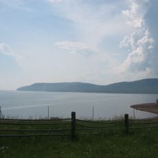
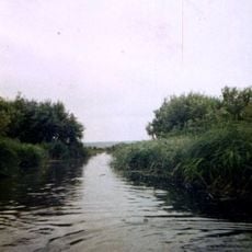
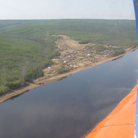
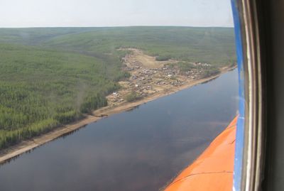
Podkamennaya Tunguska, River system in Krasnoyarsk Krai and Irkutsk Oblast, Russia

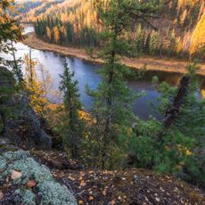
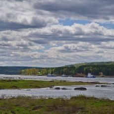
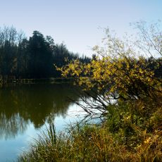
The Podkamennaya Tunguska is a river system flowing through Siberia, originating in the Angara Range and merging with the Yenisei River. The waterway winds through remote forest landscapes with rocky banks and challenging navigation conditions.

The river gained international attention in 1908 when a massive explosion occurred near its banks, flattening millions of trees across a vast area. This event became one of the most mysterious natural phenomena and attracted scientific investigation from around the world.

The name means "Stone Tunguska" in Russian, referring to the rocky and pebbly bed that defines the waterway. Visitors can observe how the stony character shapes the river's appearance and the surrounding terrain.

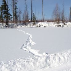
Travel on the river is possible during summer months, particularly between Baikit and the mouth where navigation is accessible. Visitors should prepare for remote conditions and expect ice coverage from October through May, which restricts seasonal access.

The river exhibits extreme seasonal fluctuations in water flow, with dramatic differences between winter lows and summer floods. These stark variations make the waterway a unique hydrological system that transforms significantly throughout the year.

The community of curious travelers

AroundUs brings together thousands of curated places, local tips, and hidden gems, enriched daily by 90,889 contributors worldwide.
Start exploring
Location
Location
GPS coordinates
60.27043,97.34340
Latest update
October 8, 2026 22:53
Around this place
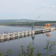
Bratsk Hydroelectric Power Station
Russian Federation

Bratsk Hydroelectric Power Station

319.3 mi
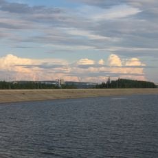
Bratsk Reservoir
Russian Federation

Bratsk Reservoir

320.9 mi
Ob–Yenisei Canal
Russian Federation

Ob–Yenisei Canal

313.7 mi
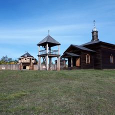
Paraskeva Pyatnitsa Chapel
Russian Federation

Paraskeva Pyatnitsa Chapel

336.1 mi
Tunguska Nature Reserve
Russian Federation

Tunguska Nature Reserve

160.7 mi
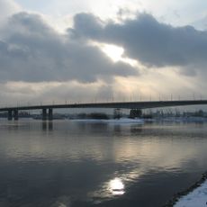
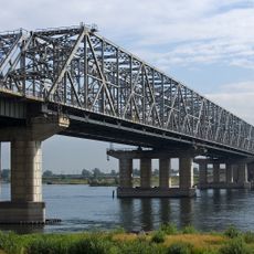
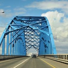
Oktyabrsky bridge
Russian Federation

Oktyabrsky bridge

334.4 mi
Yeniseysk-15
Russian Federation

Yeniseysk-15

223.9 mi
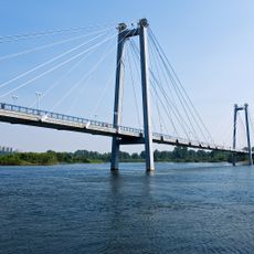
Vinogradovsky bridge
Russian Federation

Vinogradovsky bridge

336 mi
Central Siberia Nature Reserve
Russian Federation

Central Siberia Nature Reserve

324 mi
Ust-Ilimsk Reservoir
Russian Federation

Ust-Ilimsk Reservoir

264.6 mi
Bridge 777
Russian Federation

Bridge 777

330.9 mi
Boguchanskoye Reservoir
Russian Federation

Boguchanskoye Reservoir

125.8 mi
Kazachinsky Rapid
Russian Federation

Kazachinsky Rapid

242.6 mi
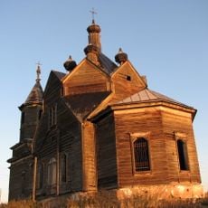
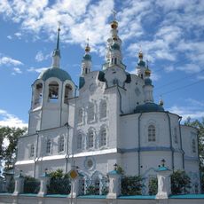
Saint Paraskevi Church
Russian Federation

Saint Paraskevi Church

310.1 mi
Yermolayevsky Bridge
Russian Federation

Yermolayevsky Bridge

326.8 mi
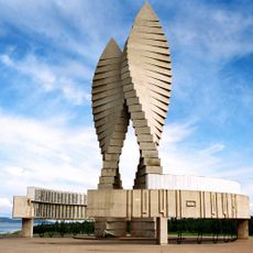
Мемориал Славы (Братск)
Russian Federation

Мемориал Славы (Братск)

324.9 mi
Angara Village Museum
Russian Federation

Angara Village Museum

321.3 mi
Dormition of the Theotokos Cathedral
Russian Federation

Dormition of the Theotokos Cathedral

221.5 mi
Monastyrskoye Lake
Russian Federation

Monastyrskoye Lake

231.5 mi
Transfiguration monastery, Yeniseysk
Russian Federation

Transfiguration monastery, Yeniseysk

221.4 mi
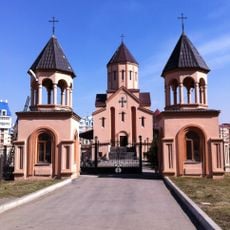
St. Sarkis church in Krasnoyarsk
Russian Federation

St. Sarkis church in Krasnoyarsk

333.9 mi
Russian Federation

Monastère d'Iveron de Ienisseïsk

220.9 mi
Holy Trinity Church
Russian Federation

Holy Trinity Church

335.8 mi
Zotino Tall Tower Observation Facility
Russian Federation

Zotino Tall Tower Observation Facility

274.1 mi
Holy Trinity cathedral in Kansk
Russian Federation

Holy Trinity cathedral in Kansk

287.4 mi
Russian Federation

Барановский вулкан (Красноярский край)

162.1 mi
Arena Sever
Russian Federation

Arena Sever

333.8 mi
Yenisey Stadium
Russian Federation

Yenisey Stadium

334.3 mi
Show the full map
Reviews
Share your experience

No review yet

Discussions
Start a discussion...

No discussion yet

« Podkamennaya Tunguska - River system in Krasnoyarsk Krai and Irkutsk Oblast, Russia » is provided by Around Us (aroundus.com). Images and texts are derived from Wikimedia project under a Creative Commons license. You are allowed to copy, distribute, and modify copies of this page, under the conditions set by the license, as long as this note is clearly visible.

Discover hidden gems everywhere you go!

From secret cafés to breathtaking viewpoints, skip the crowded tourist spots and find places that match your style. Our app makes it easy with voice search, smart filtering, route optimization, and insider tips from travelers worldwide. Download now for the complete mobile experience.

Around Us App Screenshot
❝

A unique approach to discovering new places❞

— Le Figaro

❝

All the places worth exploring❞

— France Info

❝

A tailor-made excursion in just a few clicks❞

— 20 Minutes

Around Us
Travel Guide & Maps
Download

Send to your phone

QR Code
1

Open the camera app on your mobile.

2

Point at the QR code with your camera. A notification will appear.

3

Tap the notification to open the link.