Chest opened
+${chestReward.xp} XP
Explorer
NOUVEAU ×${chestReward.collectible.quantity}
tapez pour fermer
Chest locked

Open chests in the app

Around Us is built for your phone — chests unlock when you walk, explore and capture nearby places.

Enable Location

We need your location to show you interesting places around you

Discover nearby places

Find interesting locations and hidden gems around you

Precise directions

Get accurate directions and distances to places

Your location is never shared with other users. It's only used when you tap the location button.

Belovo

Log in to your account

Start exploring — it's free

Trusted by 72,880 travelers worldwide

Continue with Google
Continue with Apple
or

We will send you a code to connect

By continuing, you accept our Terms and Conditions and our Privacy Policy

Check your inbox

We've sent a pincode in your inbox. Please enter the code below.

Discussion Reviews 1 Photos
49.3k Popularity

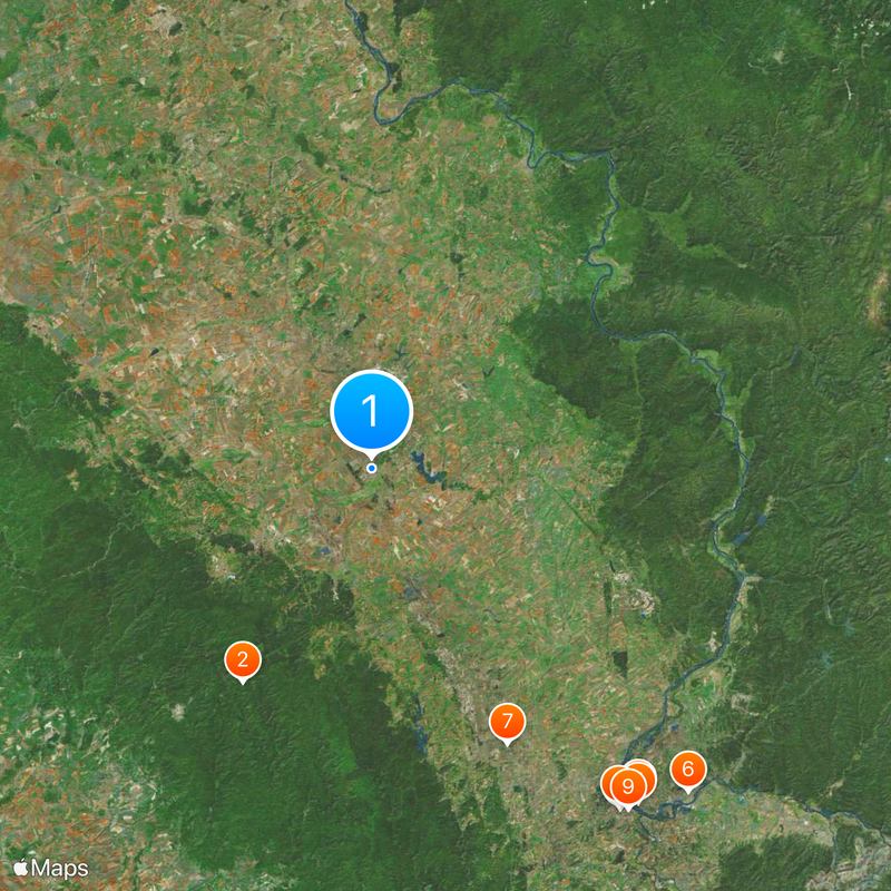
Belovo, Coal mining settlement in Kemerovo Oblast, Russia

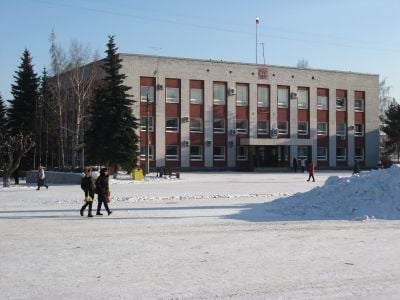
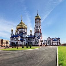
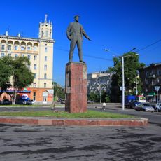
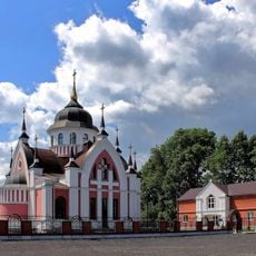
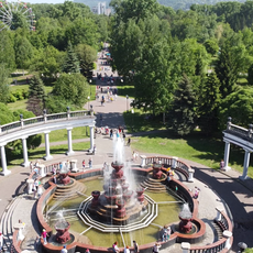
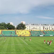
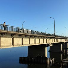
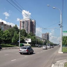
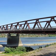
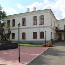
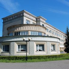
Belovo is an industrial city in the Kemerovo region of southern Siberia, built around major coal reserves and mining operations. The town comprises residential districts, public buildings, and industrial facilities connected by roads and local transportation routes.

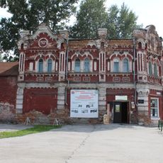
The city was founded in 1726 as a small trading post and expanded into a major urban center during the 20th century through coal mining development. This industrial transformation made it a key location for regional economic growth.

The settlement grew around coal mining operations, which shaped the identity and bonds of its residents over time. Daily life here reflects the rhythms of an industrial community, where working families form the backbone of the town.

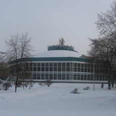
Visitors should prepare for cold winters and short summers, which shapes the best times to visit the city. Given its remote location in southern Siberia, advance planning for travel and accommodation is recommended.

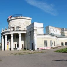
The city was a major hub of Soviet coal production for decades, shaping the region's economic history through the 20th century. The surviving mining facilities and residential areas offer glimpses into how industrial boomtowns functioned during that era.

The community of curious travelers

AroundUs brings together thousands of curated places, local tips, and hidden gems, enriched daily by 60,000 contributors worldwide.

Start exploring
Inception
1726
Elevation above the sea
223 m
GPS coordinates
54.41667,86.30000
Latest update
March 6, 2026 09:32
Around this place
Salair Ridge
Russian Federation

Salair Ridge

53.6 km
Kuznetsk Fortress
Russian Federation

Kuznetsk Fortress

91.9 km
Novokuznetsk Drama Theatre
Russian Federation

Novokuznetsk Drama Theatre

90.9 km
Transfiguration Cathedral, Novokuznetsk
Russian Federation

Transfiguration Cathedral, Novokuznetsk

92.3 km
Church of the Nativity of Jesus Christ in Novokuznetsk
Russian Federation

Church of the Nativity of Jesus Christ in Novokuznetsk

97.6 km
Prokopyevsk Drama Theatre
Russian Federation

Prokopyevsk Drama Theatre

66.1 km
Statue of Vladimir Mayakovsky in Novokuznetsk
Russian Federation

Statue of Vladimir Mayakovsky in Novokuznetsk

90.3 km
Novokuznetsk State Circus
Russian Federation

Novokuznetsk State Circus

92.2 km
St. John Chrysostom Church, Novokuznetsk
Russian Federation

St. John Chrysostom Church, Novokuznetsk

96.4 km
Ilyinsky bridge
Russian Federation

Ilyinsky bridge

83.3 km
Metallurgists' Garden
Russian Federation

Metallurgists' Garden

91 km
Musée ethnographique régional de Novokouznetski
Russian Federation

Musée ethnographique régional de Novokouznetski

90.5 km
Metallurg Stadium, Novokuznetsk
Russian Federation

Metallurg Stadium, Novokuznetsk

89.9 km
Russian Federation

Шахтёр (стадион, Прокопьевск)

6.1 km
Kommunar Cinema, Novokuznetsk
Russian Federation

Kommunar Cinema, Novokuznetsk

91.1 km
Кузнецкий мост (Новокузнецк)
Russian Federation

Кузнецкий мост (Новокузнецк)

92.6 km
Novokuznetsk Art Museum
Russian Federation

Novokuznetsk Art Museum

92 km
Russian Federation

123 km

92.4 km
Байдаевский мост
Russian Federation

Байдаевский мост

97.2 km
Дом Ермолаева (Гурьевск)
Russian Federation

Дом Ермолаева (Гурьевск)

28.2 km
Cinema October
Russian Federation

Cinema October

90.3 km
137 km
Russian Federation

137 km

80.5 km
130 km
Russian Federation

130 km

86.7 km
Здание уездного училища (Новокузнецк)
Russian Federation

Здание уездного училища (Новокузнецк)

92.6 km
Строительни (разъезд)
Russian Federation

Строительни (разъезд)

51.1 km
Palace of Metallurgists
Russian Federation

Palace of Metallurgists

90.9 km
Palace of Culture of the Aluminum Plant
Russian Federation

Palace of Culture of the Aluminum Plant

92.4 km
Belovskoye Vodokhranilishche
Russian Federation

Belovskoye Vodokhranilishche

11.1 km
Show the full map
Reviews
Share your experience

No review yet

Discussions
Start a discussion...

No discussion yet

« Belovo - Coal mining settlement in Kemerovo Oblast, Russia » is provided by Around Us (aroundus.com). Images and texts are derived from Wikimedia project under a Creative Commons license. You are allowed to copy, distribute, and modify copies of this page, under the conditions set by the license, as long as this note is clearly visible.

Discover hidden gems everywhere you go!

From secret cafés to breathtaking viewpoints, skip the crowded tourist spots and find places that match your style. Our app makes it easy with voice search, smart filtering, route optimization, and insider tips from travelers worldwide. Download now for the complete mobile experience.

Around Us App Screenshot

A unique approach to discovering new places

Le Figaro

All the places worth exploring

France Info

A tailor-made excursion in just a few clicks

20 Minutes

Around Us
Travel Guide & Maps
Download

Send to your phone

QR Code
1

Open the camera app on your mobile.

2

Point at the QR code with your camera. A notification will appear.

3

Tap the notification to open the link.