Chest opened
+${chestReward.xp} XP
Explorer
NOUVEAU ×${chestReward.collectible.quantity}
tapez pour fermer
Chest locked

Open chests in the app

Around Us is built for your phone — chests unlock when you walk, explore and capture nearby places.

Enable Location

We need your location to show you interesting places around you

Discover nearby places

Find interesting locations and hidden gems around you

Precise directions

Get accurate directions and distances to places

Your location is never shared with other users. It's only used when you tap the location button.

Neftekumsk

Log in to your account

Start exploring — it's free

Trusted by 72,889 travelers worldwide

Continue with Google
Continue with Apple
or

We will send you a code to connect

By continuing, you accept our Terms and Conditions and our Privacy Policy

Check your inbox

We've sent a pincode in your inbox. Please enter the code below.

Neftekumsk
Discussion Reviews 2 Photos
25.4k Popularity

Neftekumsk, Industrial city in Stavropol Krai, Russia

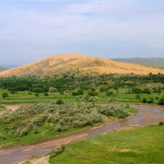
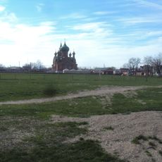
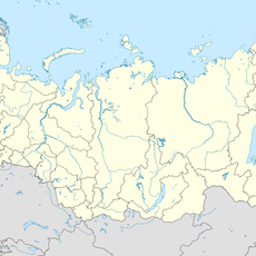
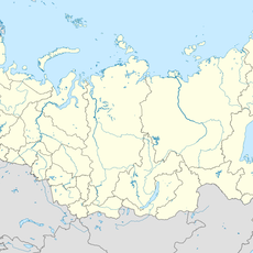
Neftekumsk is an industrial city in Stavropol Krai, situated on the lowland plain between two major rivers. The city develops roughly 5 kilometers away from the Kuma River and extends about 276 kilometers from the regional capital.

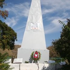
The city took shape in 1958 following earlier oil discoveries and gained official city status in 1968. Oil production became the driving force behind its growth and development from the beginning.

The city brings together people from different backgrounds who maintain their own customs and languages in daily life. You can experience this cultural diversity through local gatherings and community events.

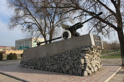
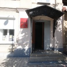
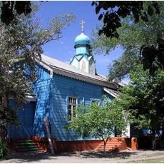
The city center contains a Regional History Museum, Cultural Center, and Sports Complex open year-round for visitors. These facilities offer opportunities to learn about local history and enjoy recreational activities.

The name combines Russian words for oil and territory, reflecting the economic foundation of the settlement. It marks the easternmost point of the region's industrial expansion and shows how place names can tell the story of development.

The community of curious travelers

AroundUs brings together thousands of curated places, local tips, and hidden gems, enriched daily by 60,000 contributors worldwide.

Start exploring
Location
Город Нефтекумск
Inception
1958
Elevation above the sea
40 m
GPS coordinates
44.75056,44.97972
Latest update
December 7, 2025 09:27
Around this place
Chyornye Zemli Nature Reserve
Russian Federation

Chyornye Zemli Nature Reserve

151 km
Dagestan Nature Reserve
Russian Federation

Dagestan Nature Reserve

164.5 km
Gora Zmeyka
Russian Federation

Gora Zmeyka

163.2 km
Chogray Reservoir
Russian Federation

Chogray Reservoir

86.9 km
Kinzhal
Russian Federation

Kinzhal

164.7 km
Nazran Fortress
Russian Federation

Nazran Fortress

167.9 km
Lysaya
Russian Federation

Lysaya

158.1 km
Mass grave of Soviet soldiers fallen in WWII, Malgobek
Russian Federation

Mass grave of Soviet soldiers fallen in WWII, Malgobek

136.8 km
Borga-Kash
Russian Federation

Borga-Kash

161.8 km
Mount Kokurtly
Russian Federation

Mount Kokurtly

162.8 km
Меклетинский заказник
Russian Federation

Меклетинский заказник

116.6 km
Mamay-Majarian monastery
Russian Federation

Mamay-Majarian monastery

65 km
Saint Nicholas Church, Georgievsk
Russian Federation

Saint Nicholas Church, Georgievsk

136.9 km
Church of the Annunciation
Russian Federation

Church of the Annunciation

158.1 km
Mozdok Museum of Regional Studies
Russian Federation

Mozdok Museum of Regional Studies

116.2 km
St. Nicholas Cathedral
Russian Federation

St. Nicholas Cathedral

135 km
Церковь Архангела Михаила (Покойное, Будённовский район)
Russian Federation

Церковь Архангела Михаила (Покойное, Будённовский район)

57.3 km
Chechen State Youth Theatre
Russian Federation

Chechen State Youth Theatre

166.9 km
Церковь Святого Николая Чудотворца (Минеральные Воды)
Russian Federation

Церковь Святого Николая Чудотворца (Минеральные Воды)

158.9 km
Церковь Казанской иконы Божией Матери (Будённовск)
Russian Federation

Церковь Казанской иконы Божией Матери (Будённовск)

63.8 km
Russian Federation

Братская могила советских воинов (Нефтемайск)

158.6 km
Stavropol stud
Russian Federation

Stavropol stud

147.5 km
Горячеводский редут
Russian Federation

Горячеводский редут

159.9 km
Surb Poghos-Petros Armenian church in Georgievsk
Russian Federation

Surb Poghos-Petros Armenian church in Georgievsk

138.1 km
Церковь Архангела Михаила (Незлобная, Георгиевский район)
Russian Federation

Церковь Архангела Михаила (Незлобная, Георгиевский район)

144.6 km
Château Erken
Russian Federation

Château Erken

158.7 km
Зултурган
Russian Federation

Зултурган

99.9 km
Zol'skiy Kar'yer
Russian Federation

Zol'skiy Kar'yer

141.5 km
Show the full map
Reviews
Share your experience

No review yet

Discussions
Start a discussion...

No discussion yet

« Neftekumsk - Industrial city in Stavropol Krai, Russia » is provided by Around Us (aroundus.com). Images and texts are derived from Wikimedia project under a Creative Commons license. You are allowed to copy, distribute, and modify copies of this page, under the conditions set by the license, as long as this note is clearly visible.

Discover hidden gems everywhere you go!

From secret cafés to breathtaking viewpoints, skip the crowded tourist spots and find places that match your style. Our app makes it easy with voice search, smart filtering, route optimization, and insider tips from travelers worldwide. Download now for the complete mobile experience.

Around Us App Screenshot

A unique approach to discovering new places

Le Figaro

All the places worth exploring

France Info

A tailor-made excursion in just a few clicks

20 Minutes

Around Us
Travel Guide & Maps
Download

Send to your phone

QR Code
1

Open the camera app on your mobile.

2

Point at the QR code with your camera. A notification will appear.

3

Tap the notification to open the link.