Chest opened
+${chestReward.xp} XP
Explorer
NOUVEAU ×${chestReward.collectible.quantity}
tapez pour fermer
Chest locked

Open chests in the app

Around Us is built for your phone — chests unlock when you walk, explore and capture nearby places.

Enable Location

We need your location to show you interesting places around you

Discover nearby places

Find interesting locations and hidden gems around you

Precise directions

Get accurate directions and distances to places

Your location is never shared with other users. It's only used when you tap the location button.

Kovdor

Log in to your account

Start exploring — it's free

Trusted by 72,878 travelers worldwide

Continue with Google
Continue with Apple
or

We will send you a code to connect

By continuing, you accept our Terms and Conditions and our Privacy Policy

Check your inbox

We've sent a pincode in your inbox. Please enter the code below.

Discussion Reviews 1 Photos
37.6k Popularity

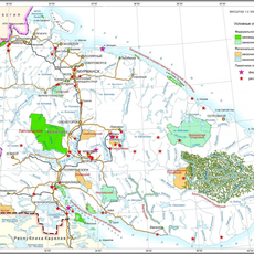
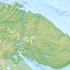
Kovdor, Mining settlement in Murmansk Oblast, Russia

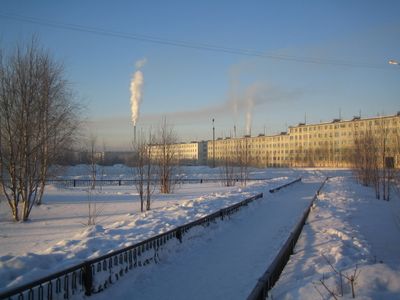
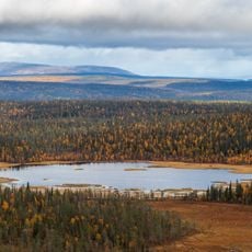
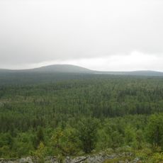
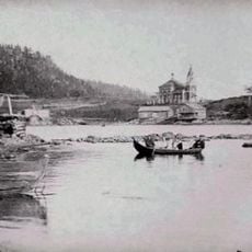
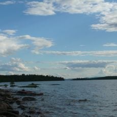
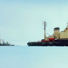
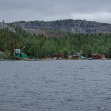
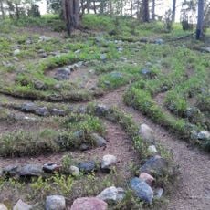
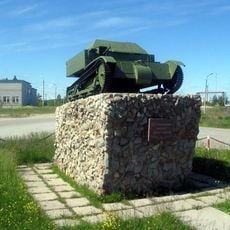
Kovdor is a mining settlement in Murmansk Oblast founded on mineral deposits in northern Russia. The town developed around operations extracting iron ore, mica, and vermiculite, with the landscape bearing the marks of these extraction activities.

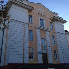
Kovdor was founded in 1953 to exploit the region's rich mineral deposits. It received town status in 1965 after mining operations proved successful and expanded.

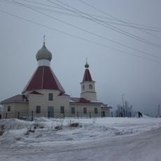
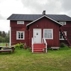
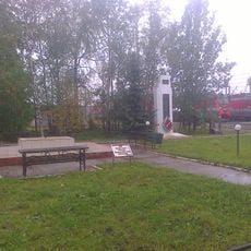
The town takes its name from its geological setting and is shaped by people whose lives revolve around mining work. Daily life here moves to the rhythm of industrial operations, visible in how the community is organized around this central activity.

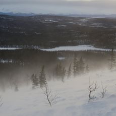
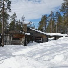
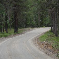
The town sits in a cold region and is most accessible during warmer months when road conditions are safest. Visitors should prepare for extreme cold during winter and bring proper warm clothing and sturdy footwear.

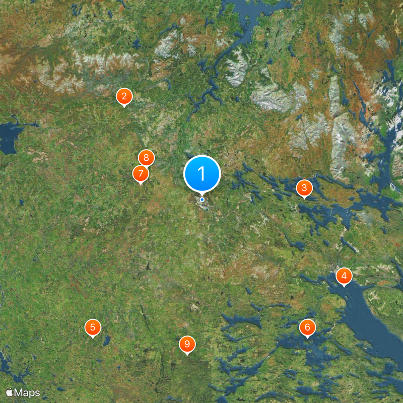
The settlement maintains sister city partnerships with Haparanda in Sweden and Salla in Finland despite its isolated location. These connections show how communities in Arctic regions stay linked despite vast distances between them.

The community of curious travelers

AroundUs brings together thousands of curated places, local tips, and hidden gems, enriched daily by 60,000 contributors worldwide.

Start exploring
Inception
1953
Elevation above the sea
209 m
GPS coordinates
67.55944,30.46667
Latest update
December 17, 2025 10:11
Around this place
Korvatunturi
Finland

Korvatunturi

74.7 km
Lapland Biosphere Reserve
Russian Federation

Lapland Biosphere Reserve

63 km
Kandalaksha Nature Reserve
Russian Federation

Kandalaksha Nature Reserve

103.4 km
Salla National Park
Finland

Salla National Park

110.6 km
Kovdozero
Russian Federation

Kovdozero

108.9 km
Tuntsa Wilderness Area
Finland

Tuntsa Wilderness Area

39.5 km
Värriö Strict Nature Reserve
Finland

Värriö Strict Nature Reserve

39.9 km
Кутса (заказник)
Russian Federation

Кутса (заказник)

97.6 km
Kandalaksha Monastery
Russian Federation

Kandalaksha Monastery

94.6 km
Church of the Nativity of John the Baptist in Kandalaksha
Russian Federation

Church of the Nativity of John the Baptist in Kandalaksha

96.1 km
Малый Янискенгас
Russian Federation

Малый Янискенгас

96.8 km
Лапландский лес
Russian Federation

Лапландский лес

97.3 km
Kandalaksha
Russian Federation

Kandalaksha

95.6 km
Värriö Subarctic Research Station
Finland

Värriö Subarctic Research Station

41.9 km
Заячья Тундра
Russian Federation

Заячья Тундра

72 km
Seitajärventie
Finland

Seitajärventie

105.2 km
Savukoski Local Heritage Building
Finland

Savukoski Local Heritage Building

103.3 km
Здание учебного корпуса Мончегорского политехнического колледжа (Мончегорск)
Russian Federation

Здание учебного корпуса Мончегорского политехнического колледжа (Мончегорск)

110.8 km
Kuruvaara Quarry
Russian Federation

Kuruvaara Quarry

44.4 km
Место стоянки партизанского отряда
Russian Federation

Место стоянки партизанского отряда

108.6 km
Памятник Герою Советского Союза А. Спекову
Russian Federation

Памятник Герою Советского Союза А. Спекову

94.5 km
Verman Rubezh
Russian Federation

Verman Rubezh

63.8 km
T-34-85 in Alakurtti
Russian Federation

T-34-85 in Alakurtti

67 km
Stone labyrinths in Kandalaksha
Russian Federation

Stone labyrinths in Kandalaksha

99.4 km
Памятник «Танкетка Т-27»
Russian Federation

Памятник «Танкетка Т-27»

66.8 km
Обелиск железнодорожникам, погибшим в годы Великой Отечественной войны
Russian Federation

Обелиск железнодорожникам, погибшим в годы Великой Отечественной войны

93.6 km
Ozero Ilimyaynen Purstelampi
Russian Federation

Ozero Ilimyaynen Purstelampi

85.6 km
Palace of Culture "Metallurgist"
Russian Federation

Palace of Culture "Metallurgist"

94.7 km
Show the full map
Reviews
Share your experience

No review yet

Discussions
Start a discussion...

No discussion yet

« Kovdor - Mining settlement in Murmansk Oblast, Russia » is provided by Around Us (aroundus.com). Images and texts are derived from Wikimedia project under a Creative Commons license. You are allowed to copy, distribute, and modify copies of this page, under the conditions set by the license, as long as this note is clearly visible.

Discover hidden gems everywhere you go!

From secret cafés to breathtaking viewpoints, skip the crowded tourist spots and find places that match your style. Our app makes it easy with voice search, smart filtering, route optimization, and insider tips from travelers worldwide. Download now for the complete mobile experience.

Around Us App Screenshot

A unique approach to discovering new places

Le Figaro

All the places worth exploring

France Info

A tailor-made excursion in just a few clicks

20 Minutes

Around Us
Travel Guide & Maps
Download

Send to your phone

QR Code
1

Open the camera app on your mobile.

2

Point at the QR code with your camera. A notification will appear.

3

Tap the notification to open the link.