Coffre ${chestReward.rarityLabel}
+${chestReward.xp} XP
Explorer
NOUVEAU ×${chestReward.collectible.quantity}
tapez pour fermer
Chest locked

Open chests in the app

Around Us is built for your phone — chests unlock when you walk, explore and capture nearby places.

Enable Location

We need your location to show you interesting places around you

Discover nearby places

Find interesting locations and hidden gems around you

Precise directions

Get accurate directions and distances to places

Your location is never shared with other users. It's only used when you tap the location button.

Chita Oblast

Log in to your account

Start exploring — it's free

Trusted by 72,179 travelers worldwide

Continue with Google
Continue with Apple
or

We will send you a code to connect

By continuing, you accept our Terms and Conditions and our Privacy Policy

Check your inbox

We've sent a pincode in your inbox. Please enter the code below.

Discussion Reviews 5 Photos
59.1k Popularity

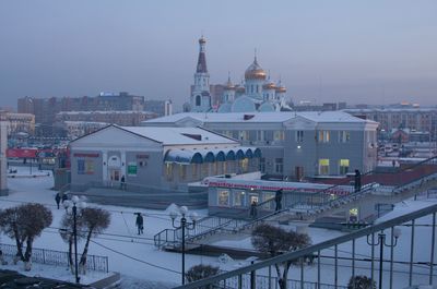
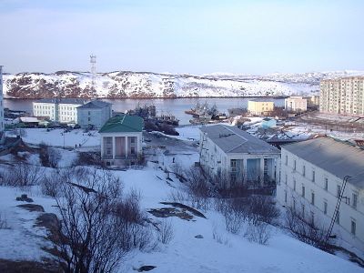
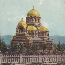
Chita Oblast, Former administrative territory in southeastern Siberia, Russia

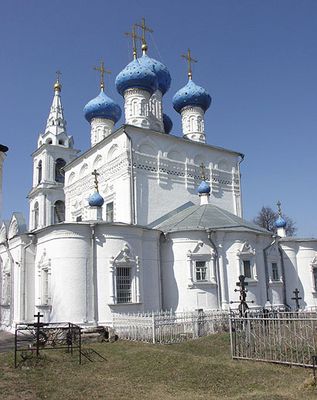
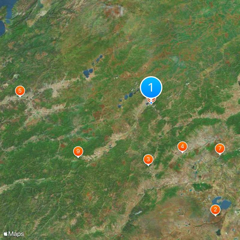
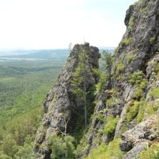
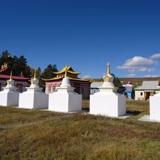
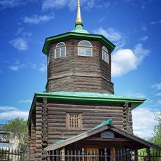
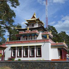
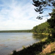
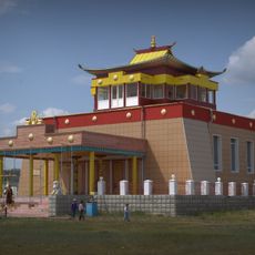
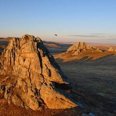
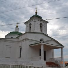
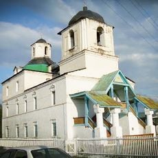
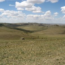
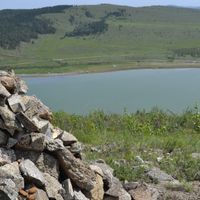
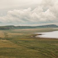
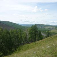
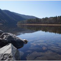
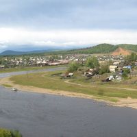
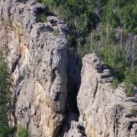
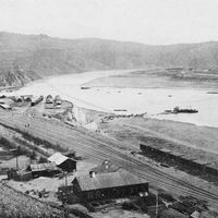
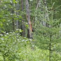
Chita Oblast was a former administrative territory in southeastern Siberia that stretched from the Mongolian border in the south to vast taiga forests in the north. The region bordered several neighboring areas and included dry steppes as well as mountainous zones along the Onon and other rivers.

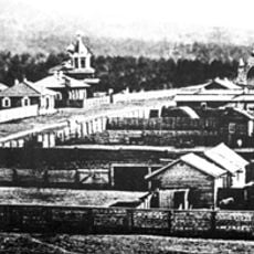
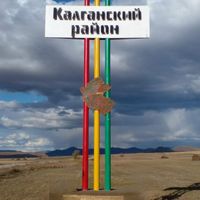
The area was established as a separate administrative unit on September 26, 1937, and remained in place for over seven decades. On March 1, 2008, it merged with Agin-Buryat Autonomous Okrug to form Zabaykalsky Krai.

The region contained numerous ethnic groups, with Russians forming the majority population, followed by Buryats, Ukrainians, and indigenous Evenk communities.

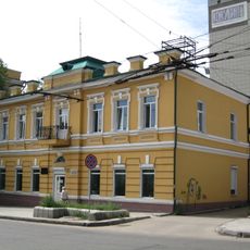
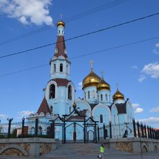
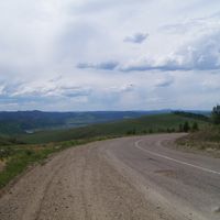
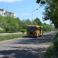
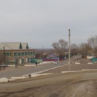
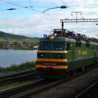
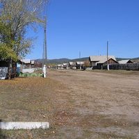
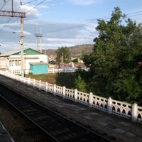
Today the former territory largely corresponds to Zabaykalsky Krai, administered from Chita. Travelers will find steppe landscapes, mountain ranges, and remote villages along the main transport routes.

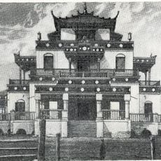
In the early 1920s, the capital served as the center of the Far Eastern Republic, a short-lived buffer state between Soviet and Japanese spheres of influence. This political arrangement allowed a peaceful transition after the civil war.

The community of curious travelers

AroundUs brings together thousands of curated places, local tips, and hidden gems, enriched daily by 60,000 contributors worldwide.

Start exploring
Inception
September 26, 1937
Capital city
Chita
Part of
Siberian Federal District
Shares border with
Buryatia, Irkutsk Oblast, Yakut Autonomous Soviet Socialist Republic, Amur Oblast, People's Republic of China, Mongolia
GPS coordinates
52.03333,113.50000
Latest update
March 5, 2026 18:17
Around this place
Daursky Nature Reserve
Russian Federation

Daursky Nature Reserve

281.2 km
Alkhanay National Park
Russian Federation

Alkhanay National Park

133.7 km
Aginsky Datsan
Russian Federation

Aginsky Datsan

125.3 km
Russian Federation

Multilayer settlement "Sunny Mys"

277.3 km
Decabrists Church, Chita
Russian Federation

Decabrists Church, Chita

1.6 km
Russian Federation

Tsugolskij Datsan

183.8 km
Chitinsky Datsan
Russian Federation

Chitinsky Datsan

2.4 km
Lake Arey
Russian Federation

Lake Arey

194.7 km
Aninsky datsan
Russian Federation

Aninsky datsan

252.4 km
Egituysky datsan
Russian Federation

Egituysky datsan

194.7 km
Zabaykalskiy Krayevoy Dramaticheskiy Teatr
Russian Federation

Zabaykalskiy Krayevoy Dramaticheskiy Teatr

423 m
Lokomotiv Stadium
Russian Federation

Lokomotiv Stadium

2 km
Transbaikalian historical museum in Chita
Russian Federation

Transbaikalian historical museum in Chita

618 m
Chita Zoo
Russian Federation

Chita Zoo

977 m
Джарун Хашор
Russian Federation

Джарун Хашор

250.6 km
Torey Lakes
Mongolia

Torey Lakes

263.4 km
Кіжингинський дацан
Russian Federation

Кіжингинський дацан

257 km
Alexander Nevsky Cathedral
Russian Federation

Alexander Nevsky Cathedral

50 m
Дом Лопатиной-Гантимуровой
Russian Federation

Дом Лопатиной-Гантимуровой

287 m
Shaman-Gora
Russian Federation

Shaman-Gora

220.8 km
Landscapes of Dauria
Russian Federation

Landscapes of Dauria

270.2 km
Покровский монастырь (Чита)
Russian Federation

Покровский монастырь (Чита)

1.6 km
Спасо-Преображенская церковь (Баргузин)
Russian Federation

Спасо-Преображенская церковь (Баргузин)

313.5 km
Nativity of Christ Church
Russian Federation

Nativity of Christ Church

299.2 km
Дом Бутлицкого (Баргузин)
Russian Federation

Дом Бутлицкого (Баргузин)

313.7 km
Здание банка (Баргузин)
Russian Federation

Здание банка (Баргузин)

313.6 km
Forest steppe part of Daursky SNBR
Russian Federation

Forest steppe part of Daursky SNBR

223.9 km
Kazansky Cathedral, Chita
Russian Federation

Kazansky Cathedral, Chita

453 m
Show the full map
Reviews
Share your experience

No review yet

Discussions
Start a discussion...

No discussion yet

« Chita Oblast - Former administrative territory in southeastern Siberia, Russia » is provided by Around Us (aroundus.com). Images and texts are derived from Wikimedia project under a Creative Commons license. You are allowed to copy, distribute, and modify copies of this page, under the conditions set by the license, as long as this note is clearly visible.

Discover hidden gems everywhere you go!

From secret cafés to breathtaking viewpoints, skip the crowded tourist spots and find places that match your style. Our app makes it easy with voice search, smart filtering, route optimization, and insider tips from travelers worldwide. Download now for the complete mobile experience.

Around Us App Screenshot

A unique approach to discovering new places

Le Figaro

All the places worth exploring

France Info

A tailor-made excursion in just a few clicks

20 Minutes

Around Us
Travel Guide & Maps
Download

Send to your phone

QR Code
1

Open the camera app on your mobile.

2

Point at the QR code with your camera. A notification will appear.

3

Tap the notification to open the link.