Enable Location

We need your location to show you interesting places around you

Discover nearby places

Find interesting locations and hidden gems around you

Precise directions

Get accurate directions and distances to places

Your location is never shared with other users. It's only used when you tap the location button.

Baikal Mountains

Log in to your account

Start exploring — it's free

Trusted by 70,030 travelers worldwide

Continue with Google
Continue with Apple
or

We will send you a code to connect

By continuing, you accept our Terms and Conditions and our Privacy Policy

Check your inbox

We've sent a pincode in your inbox. Please enter the code below.

Baikal Mountains
Discussion Reviews 1 Photos
9.1k Popularity

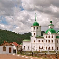
Baikal Mountains, Mountain range in Buryatia, Russia.

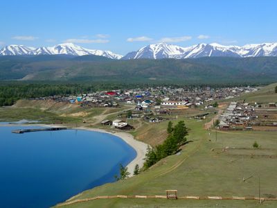
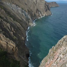
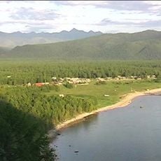
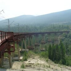
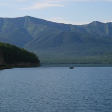
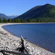
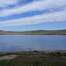
Baikal Mountains are a mountain range in Buryatia, in southeastern Siberia, running along the northwestern shore of Lake Baikal. The lower slopes are covered with dense conifer forest, while higher up the terrain opens into rocky ridges and wide valleys.

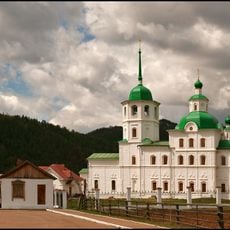
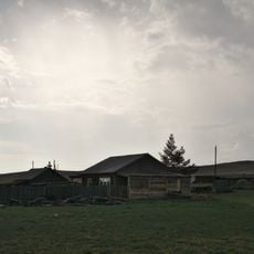
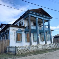
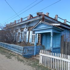
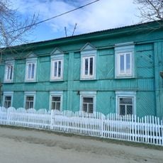
People have lived in and around these mountains since prehistoric times, as shown by archaeological finds spread across the region. Over the centuries, different nomadic groups passed through and settled here, with the ancestors of today's Buryat people leaving the most lasting marks on the landscape.

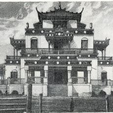
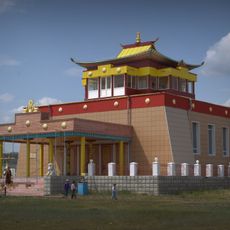
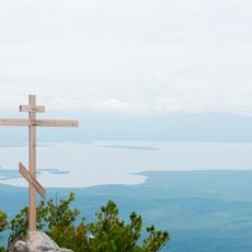
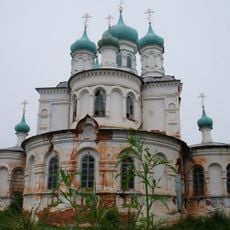
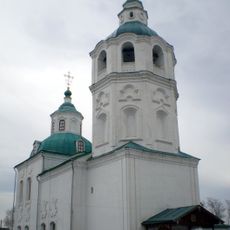
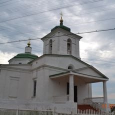
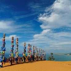
The Buryat people, who have lived in this region for generations, maintain a spiritual connection to these mountains through shamanistic traditions still practiced today. Visitors who look closely along the trails may notice small offerings or prayer ribbons tied to trees, which mark places considered sacred.

The range is most accessible during summer, when trails are clear and conditions allow for day hikes or longer treks through the forested slopes and upper ridges. Those planning to go deeper into the mountains should come well prepared, as services and shelter are sparse away from the main routes.

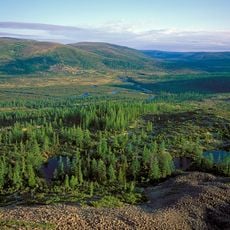
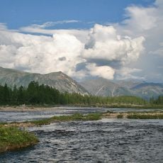
The Lena River, one of the longest rivers on Earth, has its source in this mountain range, a fact that most visitors pass by without noticing. Water trickling down the slopes here eventually travels thousands of miles north before reaching the Arctic Ocean.

The community of curious travelers

AroundUs brings together thousands of curated places, local tips, and hidden gems, enriched daily by 60,000 contributors worldwide.

Start exploring
Location
Elevation above the sea
2,572 m
GPS coordinates
55.06289,108.68122
Latest update
March 3, 2026 10:13
Around this place
Lake Baikal
Russian Federation

Lake Baikal

200.8 km
Barguzin Nature Reserve
Russian Federation

Barguzin Nature Reserve

108.1 km
Baikal-Lena nature reserve
Russian Federation

Baikal-Lena nature reserve

106.1 km
Devil's Bridge
Russian Federation

Devil's Bridge

323 km
Zabaykalsky
Russian Federation

Zabaykalsky

153.8 km
Russian Federation

Multilayer settlement "Sunny Mys"

327.7 km
Dzherginsky Nature Reserve
Russian Federation

Dzherginsky Nature Reserve

177 km
Aninsky datsan
Russian Federation

Aninsky datsan

319.8 km
Egituysky datsan
Russian Federation

Egituysky datsan

321.6 km
Sretensky Convent
Russian Federation

Sretensky Convent

308.6 km
Troitsky monastery
Russian Federation

Troitsky monastery

303.8 km
Arangatuy
Russian Federation

Arangatuy

167.5 km
Frolikha Adventure Coastline Track
Russian Federation

Frolikha Adventure Coastline Track

79.6 km
Hanhoi
Russian Federation

Hanhoi

234.4 km
Ice cave on Olkhon island
Russian Federation

Ice cave on Olkhon island

217.1 km
Svetlaya Polyana
Russian Federation

Svetlaya Polyana

199.5 km
Воскресенский собор (Верхоленск)
Russian Federation

Воскресенский собор (Верхоленск)

227.9 km
Спасская церковь (Турунтаево)
Russian Federation

Спасская церковь (Турунтаево)

326.1 km
Улан-Нур
Russian Federation

Улан-Нур

275.7 km
Спасо-Преображенская церковь (Баргузин)
Russian Federation

Спасо-Преображенская церковь (Баргузин)

172.9 km
Сретенская церковь
Russian Federation

Сретенская церковь

308.6 km
Nativity of Christ Church
Russian Federation

Nativity of Christ Church

187.9 km
Дом Бутлицкого (Баргузин)
Russian Federation

Дом Бутлицкого (Баргузин)

172.9 km
Торговое здание купца Лозовского (Баргузин)
Russian Federation

Торговое здание купца Лозовского (Баргузин)

172.7 km
Здание банка (Баргузин)
Russian Federation

Здание банка (Баргузин)

172.9 km
Дом Сиротина (Баргузин)
Russian Federation

Дом Сиротина (Баргузин)

172.8 km
Дом, в котором жил в ссылке большевик К. Грабовский (Баргузин)
Russian Federation

Дом, в котором жил в ссылке большевик К. Грабовский (Баргузин)

172.9 km
Cape Burkhan
Russian Federation

Cape Burkhan

224.7 km
Show the full map
Reviews
Share your experience

No review yet

Discussions
Start a discussion...

No discussion yet

« Baikal Mountains - Mountain range in Buryatia, Russia » is provided by Around Us (aroundus.com). Images and texts are derived from Wikimedia project under a Creative Commons license. You are allowed to copy, distribute, and modify copies of this page, under the conditions set by the license, as long as this note is clearly visible.

Discover hidden gems everywhere you go!

From secret cafés to breathtaking viewpoints, skip the crowded tourist spots and find places that match your style. Our app makes it easy with voice search, smart filtering, route optimization, and insider tips from travelers worldwide. Download now for the complete mobile experience.

Around Us App Screenshot

A unique approach to discovering new places

Le Figaro

All the places worth exploring

France Info

A tailor-made excursion in just a few clicks

20 Minutes

Around Us
Travel Guide & Maps
Download

Send to your phone

QR Code
1

Open the camera app on your mobile.

2

Point at the QR code with your camera. A notification will appear.

3

Tap the notification to open the link.