Sylva, River system in Sverdlovsk Oblast and Perm Krai, Russia.
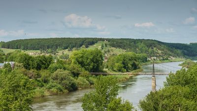
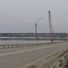
Sylva is a river system spanning 493 kilometers through the Middle Urals, defined by steep limestone cliffs that rise 100 meters above the water. The waterway cuts through varied terrain as it flows across multiple regions.
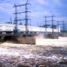
The river became a key transportation route during the Urals' industrial expansion in the 18th and 19th centuries, supporting economic development. Its role in moving goods and people shaped how settlements grew along its course during this period.
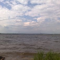
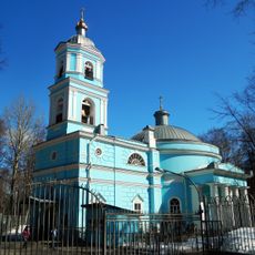
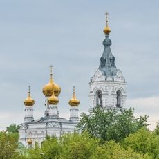
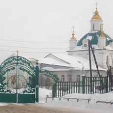
The river connects several settlements where fishing and water-based activities remain woven into how locals spend their time. These practices shape the daily rhythm of communities along its banks.
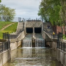
The waterway freezes from November through April, making the warmer months from May to October ideal for water activities. Visitors can expect better conditions for navigation and exploration during this season.
The banks hold fossilized coral reef formations from the ancient Permian Sea, recording millions of years of Earth's history. These fossil structures tell the story of a long-vanished ocean written into the landscape today.
The community of curious travelers
AroundUs brings together thousands of curated places, local tips, and hidden gems, enriched daily by 60,000 contributors worldwide.