Enable Location

We need your location to show you interesting places around you

Discover nearby places

Find interesting locations and hidden gems around you

Precise directions

Get accurate directions and distances to places

Your location is never shared with other users. It's only used when you tap the location button.

Uchaly

Log in to your account

Start exploring — it's free

Trusted by 61,992 travelers worldwide

Continue with Google
Continue with Apple
or

We will send you a code to connect

By continuing, you accept our Terms and Conditions and our Privacy Policy

Check your inbox

We've sent a pincode in your inbox. Please enter the code below.

Uchaly

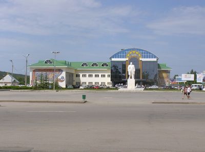
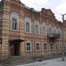
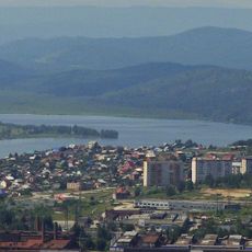
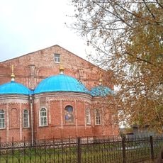
Uchaly, Mining town in Bashkortostan, Russia

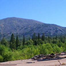
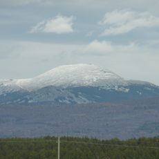
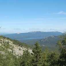
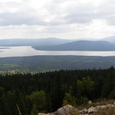
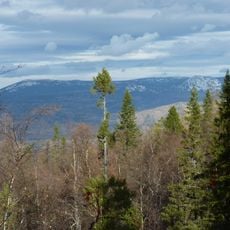
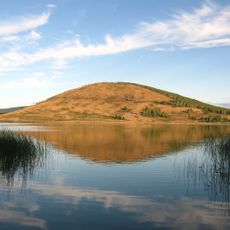
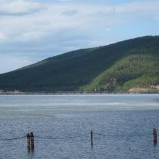
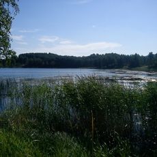
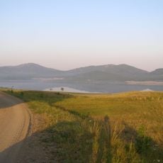
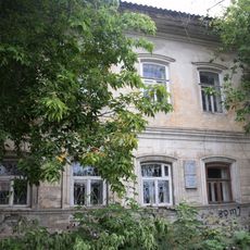
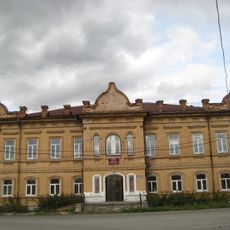
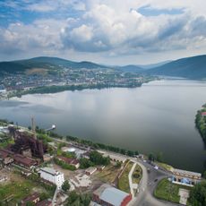
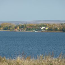
Uchaly is a mining settlement in the southern Ural Mountains of Bashkortostan, located at about 540 meters elevation. The town's economy and layout are shaped by surrounding deposits of copper and zinc that define the region.

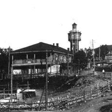
Uchaly was established in 1955 as an industrial settlement following the discovery of major copper and zinc reserves in the surrounding mountains. The town grew rapidly to support mining operations and the infrastructure needed for extraction and processing.

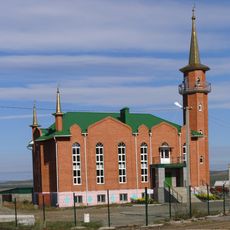
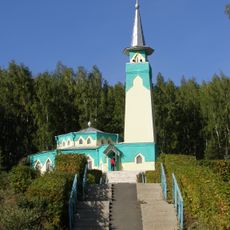
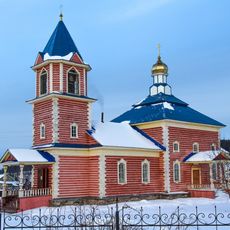
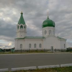
The population of Outchaly includes Russian and Bashkir communities, each contributing their languages, traditions, and customs to the local social fabric.

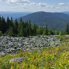
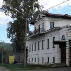
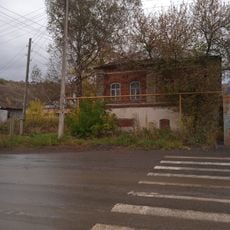
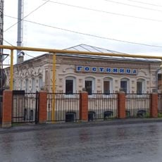
The settlement has basic services including schools, clinics, and sports facilities connected by established roads to other regional centers. Visitors should expect cool climate conditions at this elevation and variable road conditions depending on the season.

The mining operations beneath the town feature an extensive network of underground tunnels and shafts that form a hidden labyrinth beneath the buildings. These underground structures are a remarkable engineering feature that shapes the town's existence in ways visitors cannot fully grasp from the surface.

The community of curious travelers

AroundUs brings together thousands of curated places, local tips, and hidden gems, enriched daily by 60,000 contributors worldwide.

Start exploring
Inception
1955
Elevation above the sea
540 m
GPS coordinates
54.31667,59.38333
Latest update
December 14, 2025 20:56
Around this place
Mount Yamantau
Russian Federation

Mount Yamantau

83.4 km
Iremel
Russian Federation

Iremel

41 km
Zyuratkul National Park
Russian Federation

Zyuratkul National Park

65.8 km
Zyuratkul
Russian Federation

Zyuratkul

67.8 km
Russian geoglyph
Russian Federation

Russian geoglyph

70.7 km
Bolshoy Yelanchick Lake
Russian Federation

Bolshoy Yelanchick Lake

84.5 km
Zigalga National Park
Russian Federation

Zigalga National Park

63.5 km
Miasskiĭ gorodskoĭ kraevedcheskiĭ muzeĭ
Russian Federation

Miasskiĭ gorodskoĭ kraevedcheskiĭ muzeĭ

87.3 km
Aushkul Lake
Russian Federation

Aushkul Lake

49.7 km
Urgun
Russian Federation

Urgun

9.2 km
Beloretsky footbridge
Russian Federation

Beloretsky footbridge

73.7 km
Zaynulla Rasulev Mosque
Russian Federation

Zaynulla Rasulev Mosque

1.7 km
Karagaykul Lake
Russian Federation

Karagaykul Lake

42.1 km
Белорет заводы
Russian Federation

Белорет заводы

74.8 km
Noor Uchaly Mosque
Russian Federation

Noor Uchaly Mosque

890 m
Tashyar
Russian Federation

Tashyar

53 km
Dva Brata
Russian Federation

Dva Brata

76.9 km
Церковь Введения во храм Пресвятой Богородицы (Тюлюк)
Russian Federation

Церковь Введения во храм Пресвятой Богородицы (Тюлюк)

51.3 km
Дом с мезонином (Миасс)
Russian Federation

Дом с мезонином (Миасс)

87.4 km
Особняк Фаллиппова, где была создана 1-я миасская ячейка РСДРП(б) (Миасс)
Russian Federation

Особняк Фаллиппова, где была создана 1-я миасская ячейка РСДРП(б) (Миасс)

87.1 km
Александро-Невская церковь (Демарино)
Russian Federation

Александро-Невская церковь (Демарино)

83.8 km
Училище высшее начальное (Сатка)
Russian Federation

Училище высшее начальное (Сатка)

83.8 km
Miasskiy Prud
Russian Federation

Miasskiy Prud

85.4 km
Церковь Рождества Христова (Юрюзань)
Russian Federation

Церковь Рождества Христова (Юрюзань)

85.7 km
Serebryakov house (Yuryuzan)
Russian Federation

Serebryakov house (Yuryuzan)

86.9 km
Abaimov mansion (Yuryuzan)
Russian Federation

Abaimov mansion (Yuryuzan)

85.6 km
Beloretsk Reservoir
Russian Federation

Beloretsk Reservoir

72.3 km
Verkhneural'skoye Vodokhranilishche
Russian Federation

Verkhneural'skoye Vodokhranilishche

75 km
Show the full map
« Uchaly - Mining town in Bashkortostan, Russia » is provided by Around Us (aroundus.com). Images and texts are derived from Wikimedia project under a Creative Commons license. You are allowed to copy, distribute, and modify copies of this page, under the conditions set by the license, as long as this note is clearly visible.

Discover hidden gems everywhere you go!

From secret cafés to breathtaking viewpoints, skip the crowded tourist spots and find places that match your style. Our app makes it easy with voice search, smart filtering, route optimization, and insider tips from travelers worldwide. Download now for the complete mobile experience.

Around Us App Screenshot

A unique approach to discovering new places

Le Figaro

All the places worth exploring

France Info

A tailor-made excursion in just a few clicks

20 Minutes

Around Us
Travel Guide & Maps
Download

Send to your phone

QR Code
1

Open the camera app on your mobile.

2

Point at the QR code with your camera. A notification will appear.

3

Tap the notification to open the link.